
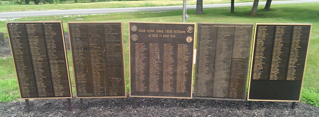
| Memorials | : | 10546 |
| Location | : | Springfield, Clark County, USA |
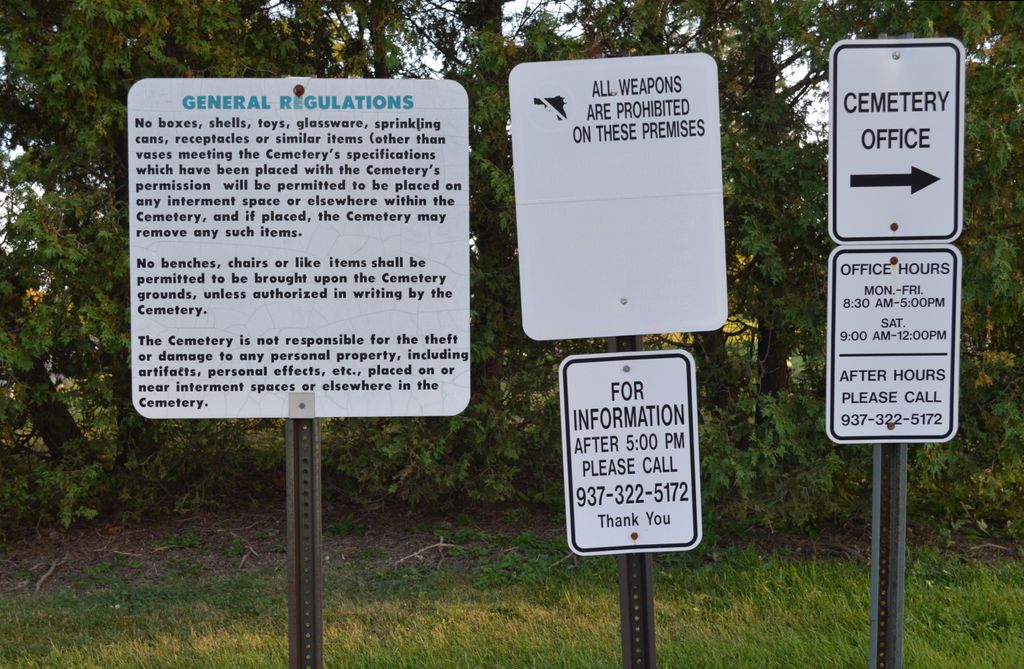
| Phone | : | (937) 322-5172 |
| Website | : | www.dignitymemorial.com/rose-hill-burial-park-springfield/en-us/index.page |
| Coordinate | : | 39.8903008, -83.7192001 |
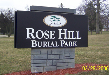
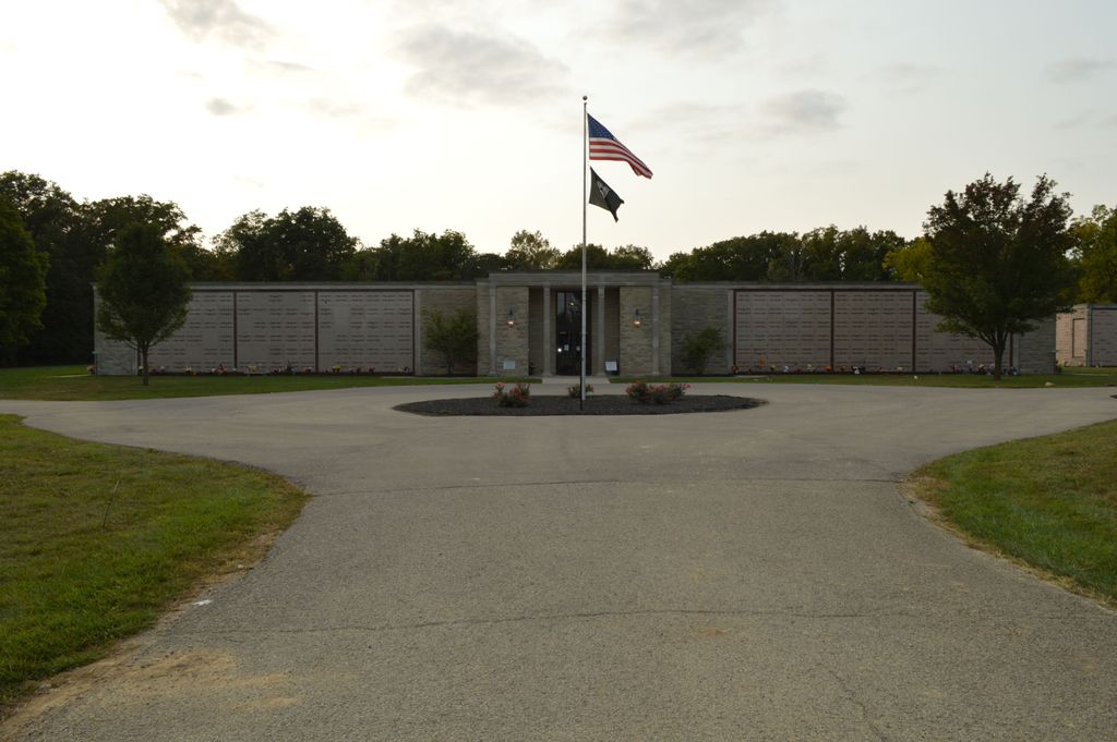
| Description | : | The cemetery is located on the south side of the intersection of South Charlestown Pike (Ohio State Route 41) and Ridge Road. The cemetery was established in 1926. The cemetery is located in Springfield Township, Clark County, Ohio and is #1740 (Rose Hill Cemetery) in “Ohio Cemeteries 1803-2003”, compiled by the Ohio Genealogical Society. The U.S. Geological Survey (USGS) Geographic Names Information System (GNIS) feature ID for the cemetery is 1045185 (Rose Hill Cemetery). The cemetery is registered with the Ohio Division of Real Estate and Professional Licensing (ODRE) as Rose Hill Burial Park (Springfield) with registration license number CRC.0000981252. |
frequently asked questions (FAQ):
-
Where is Rose Hill Burial Park?
Rose Hill Burial Park is located at 4781 South Charlestown Pike Springfield, Clark County ,Ohio , 45502USA.
-
Rose Hill Burial Park cemetery's updated grave count on graveviews.com?
10538 memorials
-
Where are the coordinates of the Rose Hill Burial Park?
Latitude: 39.8903008
Longitude: -83.7192001


Nearby Cemetories:
1. Fletcher Chapel Cemetery
Harmony, Clark County, USA
Coordinate: 39.8936005, -83.6956024
2. Calvary Cemetery
Springfield, Clark County, USA
Coordinate: 39.8843994, -83.7585983
3. Yale Cemetery
Clark County, USA
Coordinate: 39.9258003, -83.7257996
4. Yale Cemetery
Springfield, Clark County, USA
Coordinate: 39.9258935, -83.7257592
5. Titus Cemetery
Clark County, USA
Coordinate: 39.9155998, -83.6836014
6. Laybourn Cemetery
Clark County, USA
Coordinate: 39.9157740, -83.6832810
7. Sinking Creek Cemetery
Clark County, USA
Coordinate: 39.9290000, -83.7250000
8. Wraggs Cemetery
Clark County, USA
Coordinate: 39.9028015, -83.6667023
9. Tuttle Cemetery
Clark County, USA
Coordinate: 39.9331017, -83.7213974
10. Steele Cemetery
Springfield, Clark County, USA
Coordinate: 39.8702510, -83.7698680
11. Pleasant Grove Baptist Cemetery
Clark County, USA
Coordinate: 39.8457200, -83.7292900
12. Garlough Cemetery
Pitchin, Clark County, USA
Coordinate: 39.8563995, -83.7592010
13. Hinkle Cemetery
Springfield, Clark County, USA
Coordinate: 39.8817177, -83.7870636
14. Buffenbarger Cemetery
Pitchin, Clark County, USA
Coordinate: 39.8372002, -83.7121964
15. Goodfellow Cemetery
Harmony, Clark County, USA
Coordinate: 39.9146620, -83.6556300
16. Pitchin Methodist Church Cemetery
Pitchin, Clark County, USA
Coordinate: 39.8408160, -83.7591690
17. Greenmount Cemetery
Springfield, Clark County, USA
Coordinate: 39.9211006, -83.7889023
18. Saint Raphael's Cemetery
Springfield, Clark County, USA
Coordinate: 39.9305992, -83.7869034
19. Lisbon Cemetery
Lisbon, Clark County, USA
Coordinate: 39.8591995, -83.6393967
20. Newcomers Cemetery
Springfield, Clark County, USA
Coordinate: 39.9500008, -83.7668991
21. Graybill Cemetery
Clark County, USA
Coordinate: 39.9574550, -83.7468100
22. Christ Episcopal Church Columbarium
Springfield, Clark County, USA
Coordinate: 39.9226150, -83.8037060
23. Columbia Street Cemetery
Springfield, Clark County, USA
Coordinate: 39.9263992, -83.8131027
24. South Vienna Cemetery
South Vienna, Clark County, USA
Coordinate: 39.9286003, -83.6258011