
| Memorials | : | 7 |
| Location | : | Pitchin, Clark County, USA |
| Coordinate | : | 39.8408160, -83.7591690 |
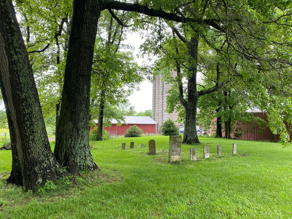
| Description | : | The cemetery is located behind the church in Pitchin on the east side of Selma Pike about 0.2 mile south of its intersection with Pitchin Road. The cemetery is located in Green Township, Clark County, Ohio, and is # 1650 (Pitchin Methodist Evangelical Cemetery) in “Ohio Cemeteries 1803-2003”, compiled by the Ohio Genealogical Society. |
frequently asked questions (FAQ):
-
Where is Pitchin Methodist Church Cemetery?
Pitchin Methodist Church Cemetery is located at 5566 Selma Pike Pitchin, Clark County ,Ohio , 45502USA.
-
Pitchin Methodist Church Cemetery cemetery's updated grave count on graveviews.com?
7 memorials
-
Where are the coordinates of the Pitchin Methodist Church Cemetery?
Latitude: 39.8408160
Longitude: -83.7591690


Nearby Cemetories:
1. Garlough Cemetery
Pitchin, Clark County, USA
Coordinate: 39.8563995, -83.7592010
2. Pleasant Grove Baptist Cemetery
Clark County, USA
Coordinate: 39.8457200, -83.7292900
3. Steele Cemetery
Springfield, Clark County, USA
Coordinate: 39.8702510, -83.7698680
4. Buffenbarger Cemetery
Pitchin, Clark County, USA
Coordinate: 39.8372002, -83.7121964
5. Calvary Cemetery
Springfield, Clark County, USA
Coordinate: 39.8843994, -83.7585983
6. Hinkle Cemetery
Springfield, Clark County, USA
Coordinate: 39.8817177, -83.7870636
7. Rose Hill Burial Park
Springfield, Clark County, USA
Coordinate: 39.8903008, -83.7192001
8. Cook Family Cemetery
Selma, Clark County, USA
Coordinate: 39.7911360, -83.7163580
9. Love Light Gospel Chapel Cemetery
Selma, Clark County, USA
Coordinate: 39.7908110, -83.7166970
10. Old Quaker Cemetery
South Charleston, Clark County, USA
Coordinate: 39.8102989, -83.6900024
11. Bloxom Cemetery
Clark County, USA
Coordinate: 39.7841988, -83.7277985
12. McClellan Cemetery
Yellow Springs, Greene County, USA
Coordinate: 39.8161598, -83.8387951
13. Clifton Union Cemetery
Miami Township, Greene County, USA
Coordinate: 39.8012000, -83.8301000
14. Green Plain Cemetery #2
Selma, Clark County, USA
Coordinate: 39.7850860, -83.7055440
15. Emery Chapel Cemetery
Springfield, Clark County, USA
Coordinate: 39.8746986, -83.8416977
16. Fletcher Chapel Cemetery
Harmony, Clark County, USA
Coordinate: 39.8936005, -83.6956024
17. Ebenezer Cemetery
Hustead, Clark County, USA
Coordinate: 39.8506012, -83.8574982
18. Greenmount Cemetery
Springfield, Clark County, USA
Coordinate: 39.9211006, -83.7889023
19. Bethel Lutheran Church
Springfield, Clark County, USA
Coordinate: 39.8321690, -83.8692430
20. Christ Episcopal Church Columbarium
Springfield, Clark County, USA
Coordinate: 39.9226150, -83.8037060
21. Yale Cemetery
Clark County, USA
Coordinate: 39.9258003, -83.7257996
22. Yale Cemetery
Springfield, Clark County, USA
Coordinate: 39.9258935, -83.7257592
23. Johnson Family Cemetery (Defunct)
Yellow Springs, Greene County, USA
Coordinate: 39.8156530, -83.8740560
24. Sinking Creek Cemetery
Clark County, USA
Coordinate: 39.9290000, -83.7250000