
| Memorials | : | 439 |
| Location | : | Roseway, Shelburne County, Canada |
| Coordinate | : | 43.6239909, -65.3501101 |
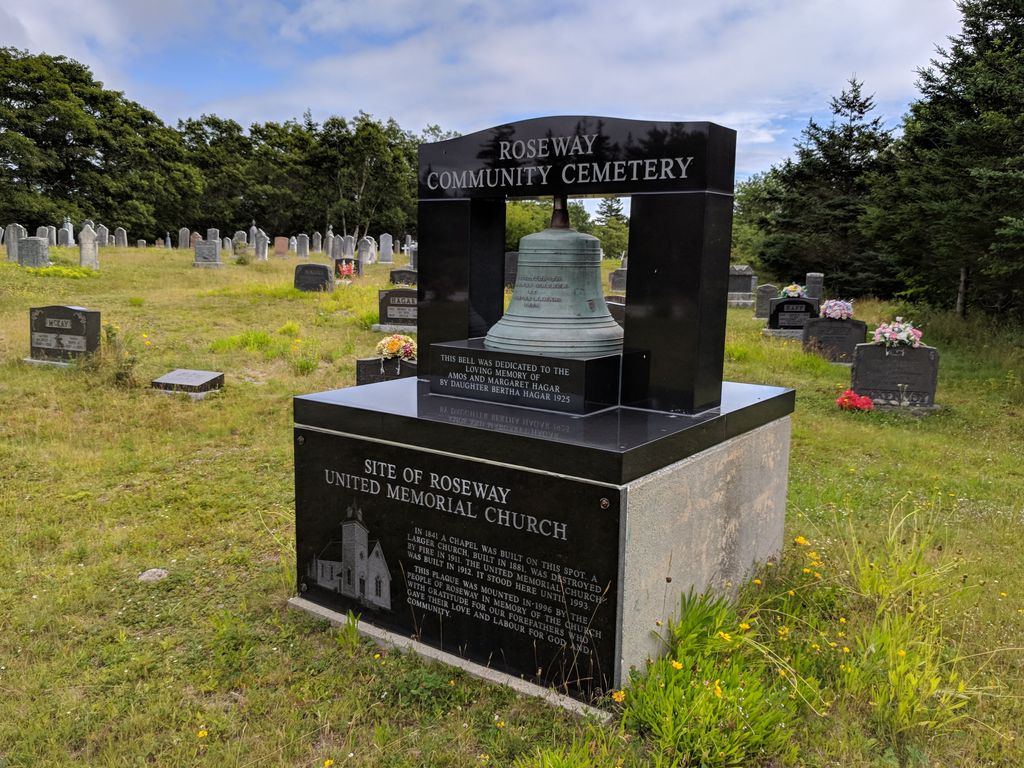
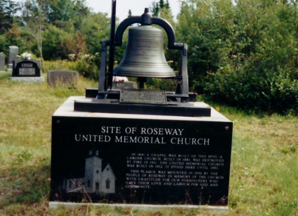
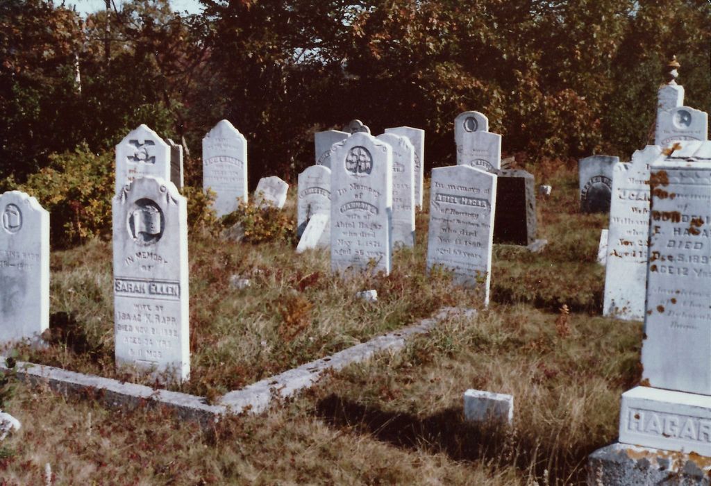
| Description | : | In 1839, Silas Perry and Alex McKenney deeded this land to the Methodist Trustees for a chapel and burial ground at Roseway. In 1916 an extension was deeded" Mrs Dorothy Freeman. "Cemetery Records of Shelburne County. Inventory of Grave Markers. Recorded October 24, 1992" by Barbara Balkam, Emeline Kaufman & Patricia Terry. |
frequently asked questions (FAQ):
-
Where is Roseway Cemetery?
Roseway Cemetery is located at 2965 Shore Road Roseway, Shelburne County ,Nova Scotia , NS B0T 1W0Canada.
-
Roseway Cemetery cemetery's updated grave count on graveviews.com?
49 memorials
-
Where are the coordinates of the Roseway Cemetery?
Latitude: 43.6239909
Longitude: -65.3501101
Nearby Cemetories:
1. Ingomar Community Cemetery
Ingomar, Shelburne County, Canada
Coordinate: 43.5730968, -65.3581679
2. Dall Cemetery
Lower Sandy Point, Shelburne County, Canada
Coordinate: 43.6730720, -65.2881470
3. Harbour View Cemetery
Port Saxon, Shelburne County, Canada
Coordinate: 43.5866700, -65.4284730
4. Pleasant Plain Cemetery
North West Harbour, Shelburne County, Canada
Coordinate: 43.5496673, -65.3979585
5. Old Kirk Cemetery
North East Point, Shelburne County, Canada
Coordinate: 43.5491240, -65.3982850
6. Port Clyde Cemetery
Port Clyde, Shelburne County, Canada
Coordinate: 43.5944429, -65.4657523
7. Anglican Cemetery
Churchover, Shelburne County, Canada
Coordinate: 43.7142400, -65.3595400
8. Saint Matthews Cemetery
Clyde River, Shelburne County, Canada
Coordinate: 43.6319900, -65.4779200
9. Seaview Cemetery
Cape Negro, Shelburne County, Canada
Coordinate: 43.5540850, -65.4438020
10. Hillside Cemetery
Cape Negro, Shelburne County, Canada
Coordinate: 43.5563700, -65.4534960
11. Mizpah Cemetery
Birchtown, Shelburne County, Canada
Coordinate: 43.7382800, -65.3892000
12. Black Burial Ground
Birchtown, Shelburne County, Canada
Coordinate: 43.7449600, -65.3797700
13. Parkdale Cemetery
Upper Port La Tour, Shelburne County, Canada
Coordinate: 43.5156570, -65.4655722
14. Christ Church Cemetery
Shelburne, Shelburne County, Canada
Coordinate: 43.7609600, -65.3195000
15. Shelburne Methodist Church Cemetery
Shelburne, Shelburne County, Canada
Coordinate: 43.7621170, -65.3201620
16. Saint John's Kirkyard Cemetery
Shelburne, Shelburne County, Canada
Coordinate: 43.7628460, -65.3200420
17. Scott Memorial Cemetery
West Green Harbour, Shelburne County, Canada
Coordinate: 43.7084170, -65.1831410
18. Pine Grove Cemetery
Shelburne, Shelburne County, Canada
Coordinate: 43.7716657, -65.3145776
19. Camp Hill Cemetery
Port La Tour, Shelburne County, Canada
Coordinate: 43.5033050, -65.4845240
20. Villagedale Cemetery
Villagedale, Shelburne County, Canada
Coordinate: 43.5379720, -65.5476840
21. Ponds Cemetery
Port La Tour, Shelburne County, Canada
Coordinate: 43.4977020, -65.5054660
22. Smithsville Union Cemetery
Smithsville, Shelburne County, Canada
Coordinate: 43.4791670, -65.4738890
23. Barrington River Cemetery
Barrington, Shelburne County, Canada
Coordinate: 43.5667700, -65.5797000
24. Williams and Firth Cemetery
East Green Harbour, Shelburne County, Canada
Coordinate: 43.7174249, -65.1397295