
| Memorials | : | 0 |
| Location | : | Fond du Lac, St. Louis County, USA |
| Coordinate | : | 46.6752600, -92.2966200 |
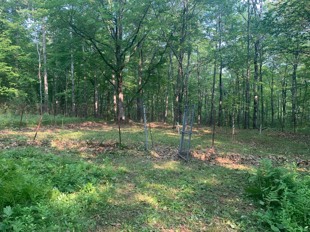
| Description | : | Located outside of Jay Cook State Park’s eastern boundary in Fond Du Lac. Take Hwy 210 between mile marker 26 and 27 on the North side of the road. Hwy 210 takes you through Jay Cooke State Park. The Cemetery has a gate at the road and you can walk beyond it, along a 4-wheeler type of trail to the left about 1/4 mile. This cemetery was run by the park board but is now property of the Fond du Lac band. Be very respectful as they have had problems with vandalism. History According to the book "A Forever... Read More |
frequently asked questions (FAQ):
-
Where is Roussain Cemetery?
Roussain Cemetery is located at Minnesota 210 Fond du Lac, St. Louis County ,Minnesota , 55808USA.
-
Roussain Cemetery cemetery's updated grave count on graveviews.com?
0 memorials
-
Where are the coordinates of the Roussain Cemetery?
Latitude: 46.6752600
Longitude: -92.2966200
Nearby Cemetories:
1. Mission Creek Native American Cemetery
Duluth, St. Louis County, USA
Coordinate: 46.6610510, -92.2775800
2. Pine Hill Lutheran Church Cemetery
Eldes Corner, St. Louis County, USA
Coordinate: 46.7083120, -92.2812560
3. Apostolic Lutheran Cemetery
Esko, Carlton County, USA
Coordinate: 46.7093201, -92.3451691
4. Thomson Pioneer Cemetery
Thomson, Carlton County, USA
Coordinate: 46.6574000, -92.3935000
5. Augustana Lutheran Church Cemetery
Midway, St. Louis County, USA
Coordinate: 46.7461190, -92.2818950
6. Saint Matthews Lutheran Cemetery
Esko, Carlton County, USA
Coordinate: 46.7366300, -92.3822100
7. Saint Johns Lutheran Cemetery
Wrenshall, Carlton County, USA
Coordinate: 46.6200610, -92.3912040
8. Silver Brook Township Cemetery
Wrenshall, Carlton County, USA
Coordinate: 46.6058006, -92.3752975
9. Hillside Cemetery
Carlton, Carlton County, USA
Coordinate: 46.6506004, -92.4225006
10. Saint Francis Cemetery
Carlton, Carlton County, USA
Coordinate: 46.6486161, -92.4228822
11. Oneota Cemetery
Duluth, St. Louis County, USA
Coordinate: 46.7503014, -92.1828003
12. Hermantown Cemetery
Hermantown, St. Louis County, USA
Coordinate: 46.7793999, -92.2435989
13. Zion Lutheran Church Columbarium
Cloquet, Carlton County, USA
Coordinate: 46.7068200, -92.4531300
14. Calvary Cemetery
Superior, Douglas County, USA
Coordinate: 46.6631012, -92.1256027
15. Riverside Cemetery
Superior, Douglas County, USA
Coordinate: 46.6617012, -92.1213989
16. Hebrew Cemetery
Superior, Douglas County, USA
Coordinate: 46.6575012, -92.1216965
17. Graceland Cemetery
Superior Village, Douglas County, USA
Coordinate: 46.6601720, -92.1209400
18. Hillcrest East Cemetery
Cloquet, Carlton County, USA
Coordinate: 46.7168800, -92.4659100
19. Old Calvary Cemetery
Cloquet, Carlton County, USA
Coordinate: 46.7155991, -92.4669037
20. Hillcrest West Cemetery
Cloquet, Carlton County, USA
Coordinate: 46.7167000, -92.4674200
21. Union Cemetery
Hermantown, St. Louis County, USA
Coordinate: 46.7868996, -92.2069016
22. Bethany Cemetery
Duluth, St. Louis County, USA
Coordinate: 46.7872009, -92.1988983
23. Independent Apostolic Lutheran cemetery
Munger, St. Louis County, USA
Coordinate: 46.8027182, -92.3378130
24. Maple Grove Cemetery
Cloquet, Carlton County, USA
Coordinate: 46.7153015, -92.4805984