
| Memorials | : | 1 |
| Location | : | Grand Rapids, Kent County, USA |
| Coordinate | : | 43.0142030, -85.6430840 |
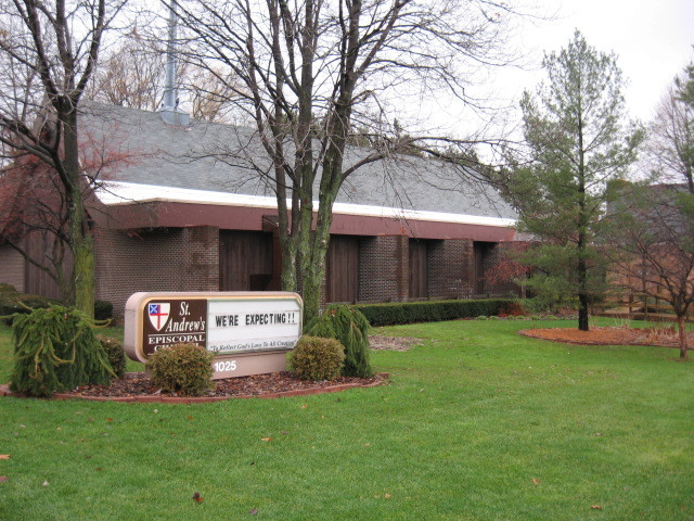
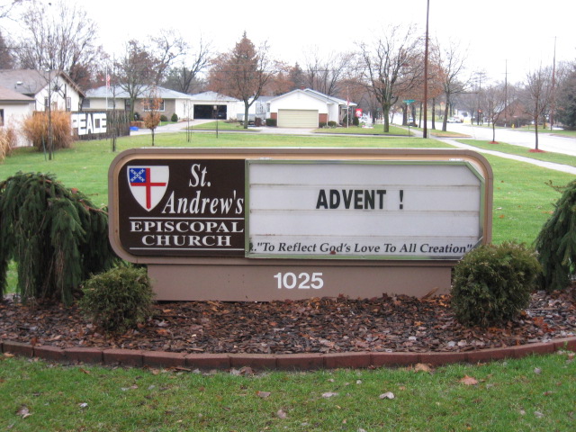
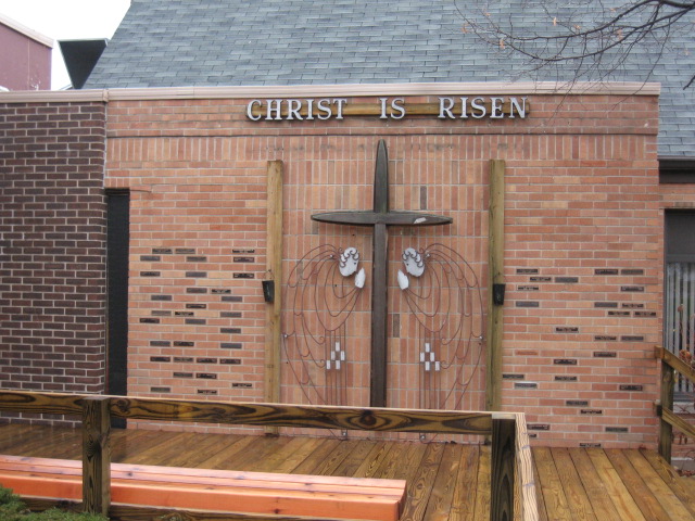
| Description | : | The "cemetery" is the garden to the rear of the church - there is a memorial wall with plaques for the names of those who's cremains have been buried in the garden. There are no actual known locations of the cremains. At the time I posted the memorials I posted all that had plaques for them. |
frequently asked questions (FAQ):
-
Where is Saint Andrews Episcopal Gardens?
Saint Andrews Episcopal Gardens is located at 1025 3 Mile Rd NE Grand Rapids, Kent County ,Michigan , 49505USA.
-
Saint Andrews Episcopal Gardens cemetery's updated grave count on graveviews.com?
1 memorials
-
Where are the coordinates of the Saint Andrews Episcopal Gardens?
Latitude: 43.0142030
Longitude: -85.6430840
Nearby Cemetories:
1. Grand Rapids Veterans Home Cemetery
Grand Rapids, Kent County, USA
Coordinate: 43.0182915, -85.6588898
2. Fairplains Cemetery
Grand Rapids, Kent County, USA
Coordinate: 43.0005989, -85.6421967
3. Second Congregational UCC Memorial Garden
Grand Rapids, Kent County, USA
Coordinate: 43.0032900, -85.6549900
4. Mill Creek Cemetery
Walker, Kent County, USA
Coordinate: 43.0288890, -85.6705560
5. United Church of Christ Cemetery
Comstock Park, Kent County, USA
Coordinate: 43.0359210, -85.6684260
6. Garden of the Pines
Grand Rapids, Kent County, USA
Coordinate: 43.0422710, -85.6279260
7. Saint Lukes Lutheran Church Memorial Garden
Grand Rapids, Kent County, USA
Coordinate: 43.0288740, -85.5882610
8. Mason Cemetery
Grand Rapids, Kent County, USA
Coordinate: 43.0056000, -85.5849991
9. Lithuanian Freedom Cemetery
Grand Rapids, Kent County, USA
Coordinate: 42.9956430, -85.6991170
10. Achim Cemetery
Grand Rapids, Kent County, USA
Coordinate: 42.9961014, -85.6994019
11. Saints Peter and Paul Cemetery
Grand Rapids, Kent County, USA
Coordinate: 42.9963890, -85.6997220
12. Washington Park Memorial Gardens
Grand Rapids, Kent County, USA
Coordinate: 42.9944000, -85.7007980
13. Fulton Street Cemetery
Grand Rapids, Kent County, USA
Coordinate: 42.9639200, -85.6486400
14. Central Reformed Church Crypt
Grand Rapids, Kent County, USA
Coordinate: 42.9634410, -85.6563430
15. Greenwood Cemetery
Grand Rapids, Kent County, USA
Coordinate: 42.9892006, -85.7055969
16. Frederik Meijer Gardens and Sculpture Park
Grand Rapids, Kent County, USA
Coordinate: 42.9794880, -85.5897510
17. First United Methodist Church Columbarium
Grand Rapids, Kent County, USA
Coordinate: 42.9634200, -85.6633300
18. Gerald R Ford Museum
Grand Rapids, Kent County, USA
Coordinate: 42.9668140, -85.6771000
19. Mount Calvary Cemetery
Grand Rapids, Kent County, USA
Coordinate: 42.9846992, -85.7043991
20. Westminster Presbyterian Church Columbarium
Grand Rapids, Kent County, USA
Coordinate: 42.9619070, -85.6646760
21. Holy Trinity Cemetery
Alpine Township, Kent County, USA
Coordinate: 43.0511017, -85.6992035
22. Holy Cross Cemetery
Grand Rapids, Kent County, USA
Coordinate: 42.9953003, -85.7153015
23. Brooklawn Cemetery
Walker, Kent County, USA
Coordinate: 43.0280991, -85.7300034
24. Pine Grove Cemetery
Comstock Park, Kent County, USA
Coordinate: 43.0757700, -85.6827600