
| Memorials | : | 1 |
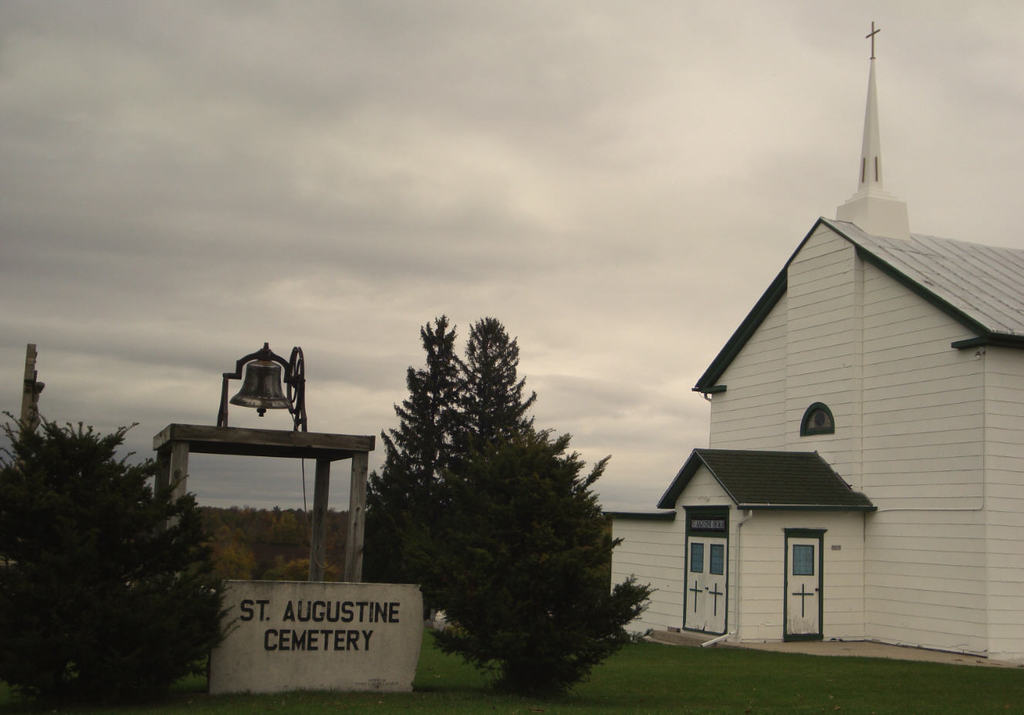
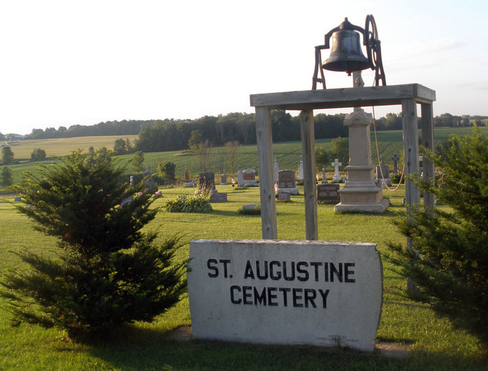
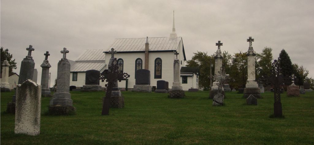
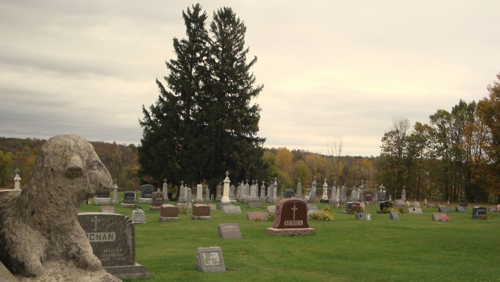
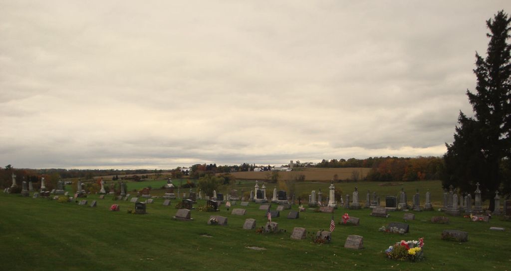
| Location | : | Francis Creek, Manitowoc County, USA |
| Coordinate | : | 44.1826700, -87.7922900 |
| Description | : | Location: 2.55 miles north of Highway 10 on County H, to Reifs Mills Road, then east on Reifs Mills Road for 0.45 miles to church and cemetery is located on the north side of road. |
frequently asked questions (FAQ):
-
Where is Saint Augustine Cemetery?
Saint Augustine Cemetery is located at Riefs Mills Road Francis Creek, Manitowoc County ,Wisconsin ,USA.
-
Saint Augustine Cemetery cemetery's updated grave count on graveviews.com?
1 memorials
-
Where are the coordinates of the Saint Augustine Cemetery?
Latitude: 44.1826700
Longitude: -87.7922900
Nearby Cemetories:
1. Kossuth National Cemetery
Francis Creek, Manitowoc County, USA
Coordinate: 44.2108002, -87.7767029
2. Saint Joseph Cemetery
Kellnersville, Manitowoc County, USA
Coordinate: 44.2231330, -87.8019000
3. Saint Michaels Catholic Cemetery
Whitelaw, Manitowoc County, USA
Coordinate: 44.1446762, -87.8303757
4. Branch Evergreen Cemetery
Branch, Manitowoc County, USA
Coordinate: 44.1391983, -87.7656021
5. Kossuth Cemetery #1
Francis Creek, Manitowoc County, USA
Coordinate: 44.2115260, -87.7359900
6. Hubbard Cemetery
Whitelaw, Manitowoc County, USA
Coordinate: 44.1534900, -87.8510500
7. Saint Anne Cemetery
Francis Creek, Manitowoc County, USA
Coordinate: 44.2005100, -87.7219300
8. Cato Heights Cemetery
Cato, Manitowoc County, USA
Coordinate: 44.1394005, -87.8619003
9. Saint Wenceslaus Cemetery
Cooperstown, Manitowoc County, USA
Coordinate: 44.2514000, -87.8073500
10. Melnik Presbyterian Cemetery
Melnik, Manitowoc County, USA
Coordinate: 44.2470300, -87.7461910
11. Kossuth Baptist Cemetery
Rockville, Manitowoc County, USA
Coordinate: 44.1688995, -87.6813965
12. Saint Johns Evangelical Lutheran Cemetery
Maribel, Manitowoc County, USA
Coordinate: 44.2702800, -87.8063900
13. Kossuth Evergreen Cemetery
Rockwood, Manitowoc County, USA
Coordinate: 44.1643982, -87.6707993
14. Knollwood Memorial Gardens
Manitowoc, Manitowoc County, USA
Coordinate: 44.1553001, -87.6691971
15. Saint Patrick Catholic Cemetery
Maple Grove, Manitowoc County, USA
Coordinate: 44.1876333, -87.9227500
16. Knollwood Chapel Mausoleum
Manitowoc, Manitowoc County, USA
Coordinate: 44.1542500, -87.6662600
17. Saint Marys Cemetery
Clarks Mills, Manitowoc County, USA
Coordinate: 44.0983009, -87.8647003
18. Neshoto Cemetery
Shoto, Manitowoc County, USA
Coordinate: 44.1755600, -87.6498700
19. Larrabee Church Cemetery
Larrabee, Manitowoc County, USA
Coordinate: 44.2697258, -87.7164764
20. Old Clark Mills Cemetery
Cato, Manitowoc County, USA
Coordinate: 44.0923600, -87.8609400
21. Saint Marys Catholic Cemetery
Manitowoc Rapids, Manitowoc County, USA
Coordinate: 44.1016200, -87.7033000
22. Gjerpen Cemetery
Madsen, Manitowoc County, USA
Coordinate: 44.0783005, -87.8210983
23. Potters Field Cemetery
Manitowoc, Manitowoc County, USA
Coordinate: 44.0952950, -87.6948570
24. Franciscan Sisters of Christian Charity Cemetery
Manitowoc, Manitowoc County, USA
Coordinate: 44.0725000, -87.7409400