| Memorials | : | 0 |
| Location | : | Whitelaw, Manitowoc County, USA |
| Coordinate | : | 44.1534900, -87.8510500 |
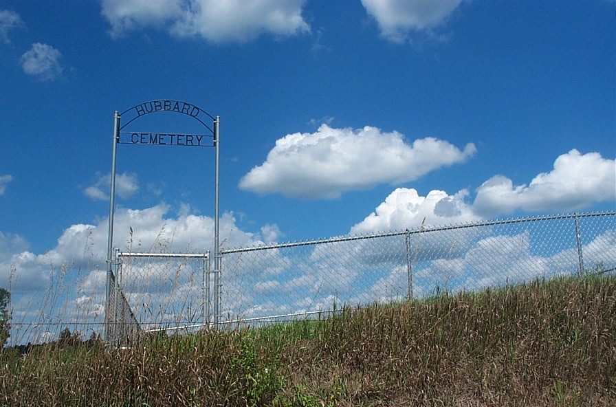
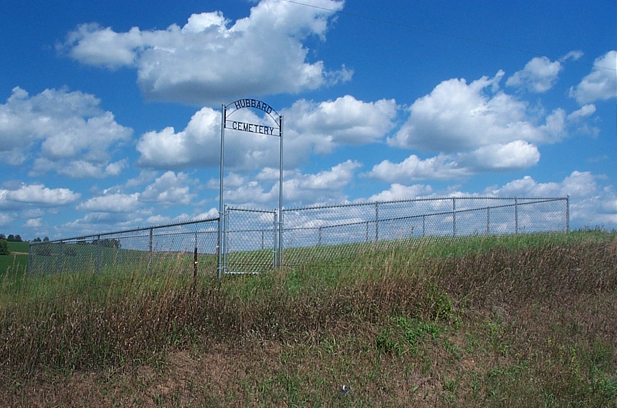
| Description | : | To get to the Hubbard Cemetery, in Manitowoc County, if you are going east on Hwy 10, make a left on County Road 'CTH J' - if you are going west on Highway 10, make a right on County Road 'CTH J'. The street road sign says "CTH J". You will be proceeding in a northerly direction. When you get to the first cross road, "SAN ROAD," turn right and proceed about 2 or 3 tenths of a mile. Go past the street sign (left only) that says "MAYERL RD". At this point, watch... Read More |
frequently asked questions (FAQ):
-
Where is Hubbard Cemetery?
Hubbard Cemetery is located at San Road Whitelaw, Manitowoc County ,Wisconsin ,USA.
-
Hubbard Cemetery cemetery's updated grave count on graveviews.com?
0 memorials
-
Where are the coordinates of the Hubbard Cemetery?
Latitude: 44.1534900
Longitude: -87.8510500
Nearby Cemetories:
1. Cato Heights Cemetery
Cato, Manitowoc County, USA
Coordinate: 44.1394005, -87.8619003
2. Saint Michaels Catholic Cemetery
Whitelaw, Manitowoc County, USA
Coordinate: 44.1446762, -87.8303757
3. Saint Augustine Cemetery
Francis Creek, Manitowoc County, USA
Coordinate: 44.1826700, -87.7922900
4. Saint Marys Cemetery
Clarks Mills, Manitowoc County, USA
Coordinate: 44.0983009, -87.8647003
5. Old Clark Mills Cemetery
Cato, Manitowoc County, USA
Coordinate: 44.0923600, -87.8609400
6. Saint Patrick Catholic Cemetery
Maple Grove, Manitowoc County, USA
Coordinate: 44.1876333, -87.9227500
7. Branch Evergreen Cemetery
Branch, Manitowoc County, USA
Coordinate: 44.1391983, -87.7656021
8. Zion Evergreen Cemetery
Reedsville, Manitowoc County, USA
Coordinate: 44.1385994, -87.9428024
9. Old Saint John-Saint James Lutheran Cemetery
Reedsville, Manitowoc County, USA
Coordinate: 44.1515233, -87.9494782
10. Friedens United Church of Christ Cemetery
Reedsville, Manitowoc County, USA
Coordinate: 44.1636009, -87.9582977
11. Saint Joseph Cemetery
Kellnersville, Manitowoc County, USA
Coordinate: 44.2231330, -87.8019000
12. Gjerpen Cemetery
Madsen, Manitowoc County, USA
Coordinate: 44.0783005, -87.8210983
13. Kossuth National Cemetery
Francis Creek, Manitowoc County, USA
Coordinate: 44.2108002, -87.7767029
14. Old Saint Marys Catholic Church Cemetery
Reedsville, Manitowoc County, USA
Coordinate: 44.1546211, -87.9610901
15. New Saint John-Saint James Lutheran Cemetery
Reedsville, Manitowoc County, USA
Coordinate: 44.1503000, -87.9634000
16. New Saint Marys Catholic Church Cemetery
Reedsville, Manitowoc County, USA
Coordinate: 44.1467018, -87.9644012
17. Grace Lutheran Cemetery
Cato, Manitowoc County, USA
Coordinate: 44.0716700, -87.8720200
18. Rockland EUB Cemetery
Reedsville, Manitowoc County, USA
Coordinate: 44.1383018, -87.9728012
19. Our Saviors Cemetery
Valders, Manitowoc County, USA
Coordinate: 44.0672140, -87.8836360
20. Kossuth Cemetery #1
Francis Creek, Manitowoc County, USA
Coordinate: 44.2115260, -87.7359900
21. Saint Wenceslaus Cemetery
Cooperstown, Manitowoc County, USA
Coordinate: 44.2514000, -87.8073500
22. Saint Anne Cemetery
Francis Creek, Manitowoc County, USA
Coordinate: 44.2005100, -87.7219300
23. Pleuss Family Cemetery
Rube, Manitowoc County, USA
Coordinate: 44.0517082, -87.8015747
24. Valders Cemetery
Valders, Manitowoc County, USA
Coordinate: 44.0511017, -87.9011002


