
| Memorials | : | 0 |
| Location | : | Sidbury, East Devon District, England |
| Coordinate | : | 50.7189430, -3.2200740 |
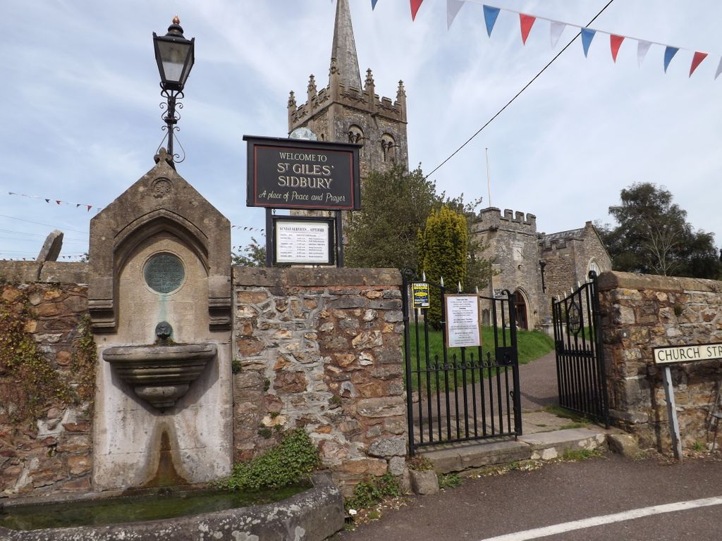
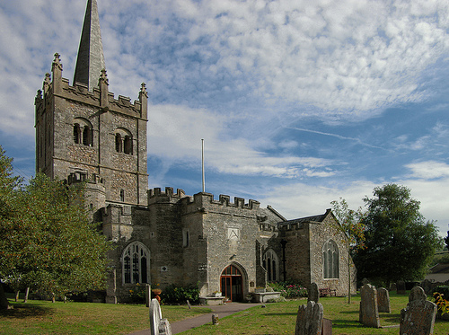
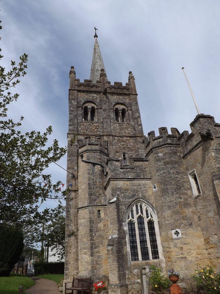
| Description | : | The imposing Church of St. Giles stands on a walled mound at the centre of the village of Sidbury in east Devon. A church building has stood here since Saxon times. It has a Norman tower and alterations and additions from every century since. The church contains a gunpowder storage room dating from the Napoleonic era. Under the chancel is a 7th century Saxon crypt, one of only six to be found in the UK. Guided tours of the church take place every Thursday afternoon during the summer months. The square churchyard contains some scattered memorials... Read More |
frequently asked questions (FAQ):
-
Where is Saint Giles Churchyard?
Saint Giles Churchyard is located at Sidbury, East Devon District ,Devon ,England.
-
Saint Giles Churchyard cemetery's updated grave count on graveviews.com?
0 memorials
-
Where are the coordinates of the Saint Giles Churchyard?
Latitude: 50.7189430
Longitude: -3.2200740
Nearby Cemetories:
1. Sidbury Cemetery
Sidbury, East Devon District, England
Coordinate: 50.7123800, -3.2184900
2. St. Peter and St. Mary Churchyard
Salcombe Regis, East Devon District, England
Coordinate: 50.6936580, -3.2068490
3. Sidmouth Cemetery
Sidmouth, East Devon District, England
Coordinate: 50.6892010, -3.2371800
4. Convent of the Assumption
Sidmouth, East Devon District, England
Coordinate: 50.6851600, -3.2507840
5. St Giles and St Nicholas Churchyard
Sidmouth, East Devon District, England
Coordinate: 50.6793390, -3.2391480
6. Ottery St Mary Cemetery
Ottery St Mary, East Devon District, England
Coordinate: 50.7552300, -3.2707400
7. Ottery St. Mary Parish Churchyard
Ottery St Mary, East Devon District, England
Coordinate: 50.7528310, -3.2787800
8. St Winifred Churchyard
Branscombe, East Devon District, England
Coordinate: 50.6902160, -3.1403370
9. St. Michael's Churchyard
Gittisham, East Devon District, England
Coordinate: 50.7785700, -3.2301300
10. St Lawrence Churchyard
Southleigh, East Devon District, England
Coordinate: 50.7348480, -3.1285500
11. West Hill War Memorial
West Hill, East Devon District, England
Coordinate: 50.7383140, -3.3180440
12. St Michael Churchyard
West Hill, East Devon District, England
Coordinate: 50.7400000, -3.3190900
13. St John the Baptist Churchyard
Colaton Raleigh, East Devon District, England
Coordinate: 50.6771200, -3.3010200
14. St Philip and St James Escot
Ottery St Mary, East Devon District, England
Coordinate: 50.7690100, -3.2952900
15. St. Andrew's Churchyard
Feniton, East Devon District, England
Coordinate: 50.7872510, -3.2660760
16. Beer Cemetery
Beer, East Devon District, England
Coordinate: 50.6949200, -3.1048800
17. St Michael Churchyard
Honiton, East Devon District, England
Coordinate: 50.7929840, -3.1830800
18. St Mary & St Giles Churchyard
Buckerell, East Devon District, England
Coordinate: 50.7960300, -3.2450500
19. St Michaels Churchyard
Otterton, East Devon District, England
Coordinate: 50.6588750, -3.3029790
20. Bicton, St Mary's Church
Budleigh Salterton, East Devon District, England
Coordinate: 50.6639870, -3.3130370
21. Beer Church Cemetery
Beer, East Devon District, England
Coordinate: 50.6980900, -3.0947500
22. St. Mary's Church
Offwell, East Devon District, England
Coordinate: 50.7900391, -3.1435305
23. All Saints Churchyard
East Budleigh, East Devon District, England
Coordinate: 50.6565500, -3.3224900
24. St. Michael and All Angels Churchyard
Awliscombe, East Devon District, England
Coordinate: 50.8093000, -3.2310200