
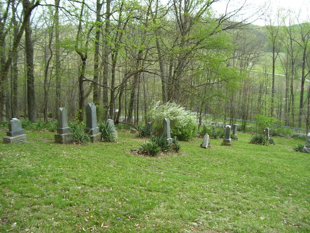
| Memorials | : | 62 |
| Location | : | Hideaway Hills, Hocking County, USA |
| Coordinate | : | 39.6434700, -82.4607900 |
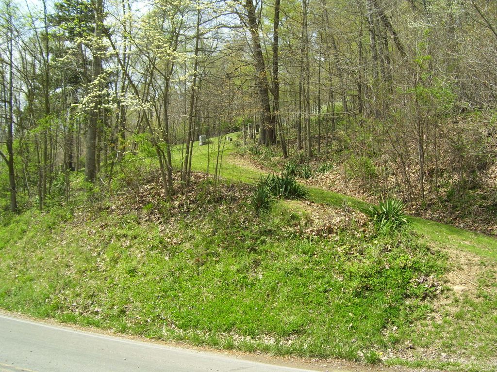
| Description | : | The cemetery is located on Hide A Way Hills Road (County Road 82) about 350 feet west of its intersection with R K Miller Road (Township Road 396) and about 1.7 miles west of Ohio State Route 664. The cemetery is located in Marion Township, Hocking County, Ohio, and is # 5437 (Saint Emanuel Lutheran Cemetery / Saint Johns Lutheran Cemetery / Saint James German Cemetery / Saint Jacobus Evangelical Lutheran Cemetery) in “Ohio Cemeteries 1803-2003”, compiled by the Ohio Genealogical Society. The U.S. Geological Survey (USGS) Geographic Names Information System (GNIS) feature ID for the cemetery is 1963600... Read More |
frequently asked questions (FAQ):
-
Where is Saint Jacobus Evangelical Lutheran Cemetery?
Saint Jacobus Evangelical Lutheran Cemetery is located at Hide A Way Hills Road (County Road 82) Hideaway Hills, Hocking County ,Ohio , 43138USA.
-
Saint Jacobus Evangelical Lutheran Cemetery cemetery's updated grave count on graveviews.com?
62 memorials
-
Where are the coordinates of the Saint Jacobus Evangelical Lutheran Cemetery?
Latitude: 39.6434700
Longitude: -82.4607900
Nearby Cemetories:
1. Saint Emanuel Lutheran Cemetery
Marion Township, Hocking County, USA
Coordinate: 39.6433900, -82.4628000
2. Baron-Graham Family Cemetery
Hideaway Hills, Hocking County, USA
Coordinate: 39.6385070, -82.4657110
3. Flagdale Cemetery
Marion Township, Hocking County, USA
Coordinate: 39.6542015, -82.4336014
4. Laurel Chapel Cemetery
Marion Township, Hocking County, USA
Coordinate: 39.6391983, -82.4291992
5. Focht Cemetery
Rush Creek Township, Fairfield County, USA
Coordinate: 39.6704990, -82.4590440
6. Ruff Cemetery
Logan, Hocking County, USA
Coordinate: 39.6176500, -82.4467900
7. Zwingley Cemetery
Fairfield County, USA
Coordinate: 39.6735992, -82.4475021
8. Marion School Cemetery
Rockbridge, Hocking County, USA
Coordinate: 39.6148000, -82.4419000
9. Welty Cemetery
Bremen, Fairfield County, USA
Coordinate: 39.6627998, -82.4214020
10. Sacred Heart Cemetery
Bremen, Fairfield County, USA
Coordinate: 39.6647600, -82.4189300
11. Trinity Sponagle Lutheran Church Cemetery
Sugar Grove, Fairfield County, USA
Coordinate: 39.6159600, -82.4993000
12. Phillips Cemetery
Horns Mill, Fairfield County, USA
Coordinate: 39.6475640, -82.5144030
13. Friesner Cemetery
Bremen, Fairfield County, USA
Coordinate: 39.6874420, -82.4616020
14. New Olive Branch Cemetery
Bremen, Fairfield County, USA
Coordinate: 39.6892900, -82.4587700
15. Hilyard Cemetery
Bremen, Fairfield County, USA
Coordinate: 39.6791992, -82.4231033
16. Pleasant Hill Cemetery
Berne Township, Fairfield County, USA
Coordinate: 39.6717239, -82.5084873
17. Shepley Cemetery
Marion Township, Hocking County, USA
Coordinate: 39.6246380, -82.4029260
18. Mount Tabor Christian Fellowship Church Cemetery
Marion Township, Hocking County, USA
Coordinate: 39.6009660, -82.4274840
19. Bright Family Cemetery
Bremen, Fairfield County, USA
Coordinate: 39.6695404, -82.3990936
20. South Harvey Chapel Cemetery
Logan, Hocking County, USA
Coordinate: 39.6413000, -82.3881000
21. Mount Zion Brethren Cemetery
Marion Township, Hocking County, USA
Coordinate: 39.6109400, -82.3971100
22. Pleasant Hill United Methodist Church Cemetery
Marion Township, Hocking County, USA
Coordinate: 39.5888600, -82.4302100
23. Pleasant Hill Mennonite Cemetery
Rush Creek Township, Fairfield County, USA
Coordinate: 39.6817398, -82.4000694
24. Pleasant Valley Cemetery
Logan, Hocking County, USA
Coordinate: 39.5834999, -82.4436417