| Memorials | : | 0 |
| Location | : | Dudley, Metropolitan Borough of Dudley, England |
| Coordinate | : | 52.5155000, -2.0851000 |
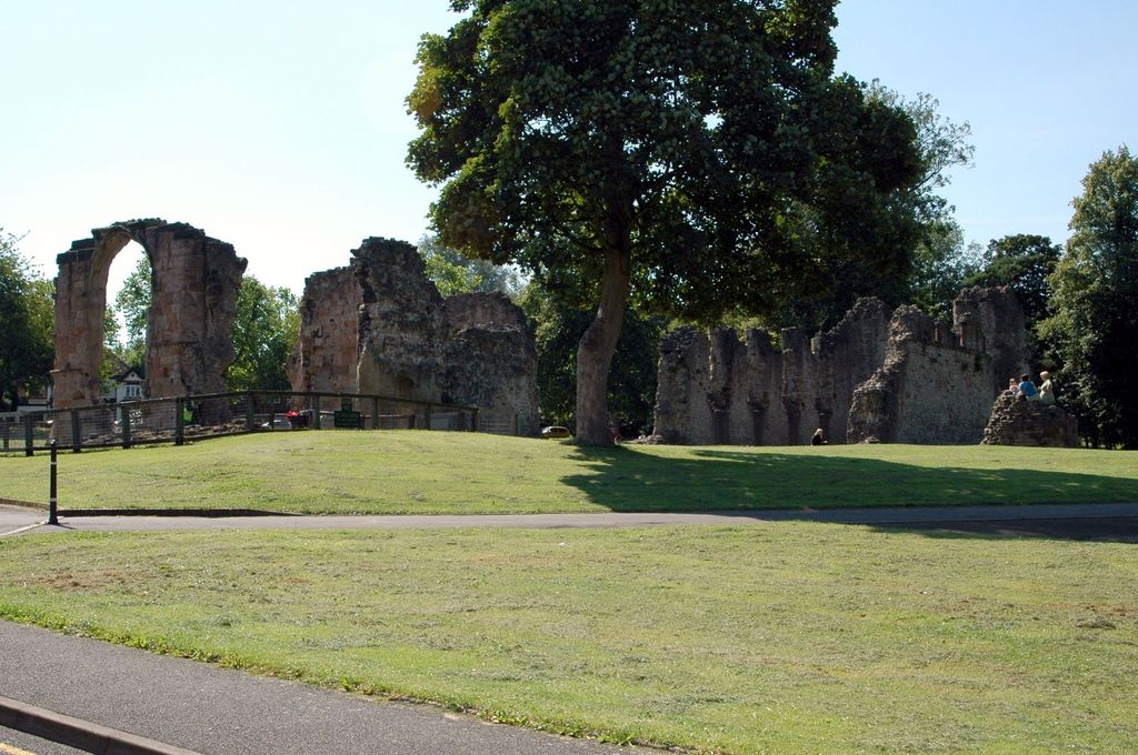
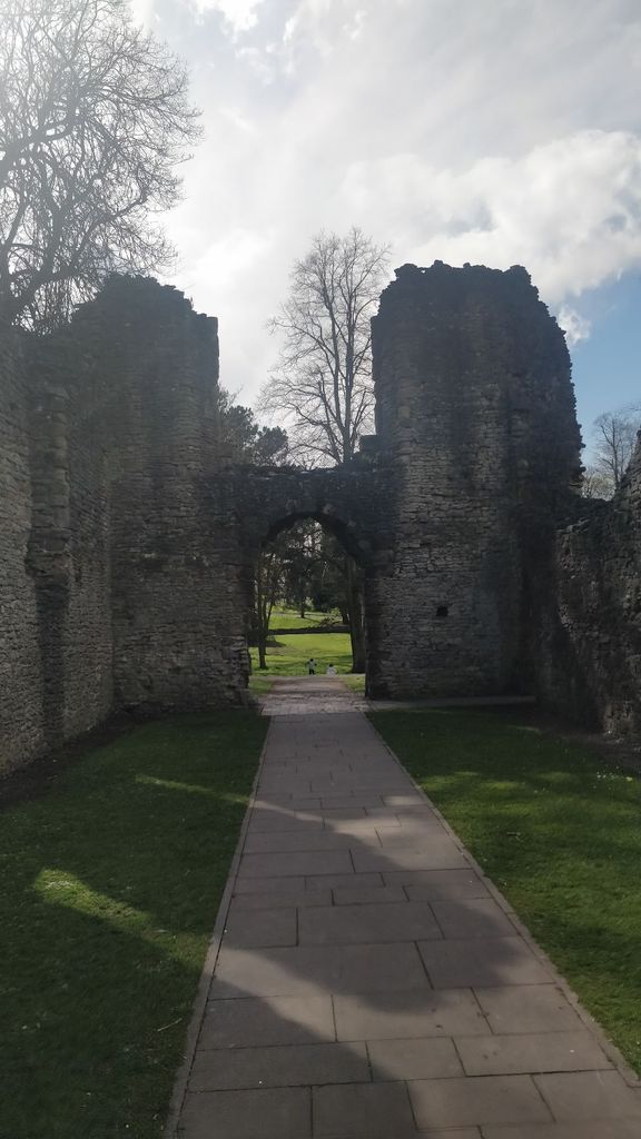
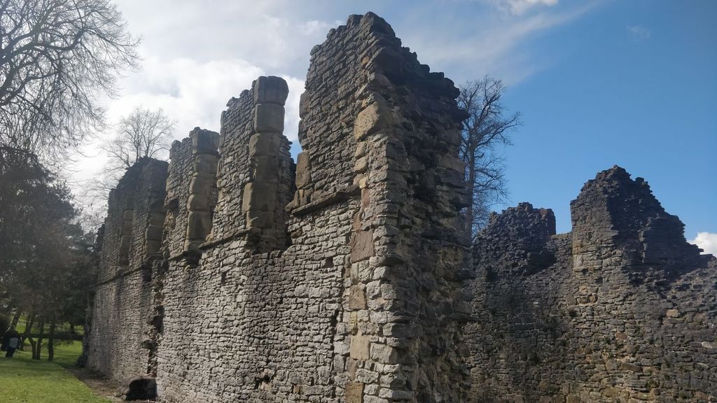
| Description | : | Founded as a Cluniac priory in 1160, by Gervase Paganel, Lord of Dudley, in memory of his father, It was dedicated to Saint James. Later enlarged one surviving piece is a 14th century archway to the Lady Chapel, dedicated to the Virgin Mary, and built by the Sutton family. Closed by King Henry VIII in the 1530s during the Dissolution of the Monasteriesit was granted to Sir John Dudley, 1st Duke of Northumberland, in 1540. Following his execution, the buildings fell into disrepair and became ruinous. In the 18th century, part of the ruins of the church had been used... Read More |
frequently asked questions (FAQ):
-
Where is Saint James Priory?
Saint James Priory is located at Dudley, Metropolitan Borough of Dudley ,West Midlands ,England.
-
Saint James Priory cemetery's updated grave count on graveviews.com?
0 memorials
-
Where are the coordinates of the Saint James Priory?
Latitude: 52.5155000
Longitude: -2.0851000
Nearby Cemetories:
1. Dudley Castle Crypt
Dudley, Metropolitan Borough of Dudley, England
Coordinate: 52.5144850, -2.0797650
2. St Edmund King and Martyr Churchyard
Dudley, Metropolitan Borough of Dudley, England
Coordinate: 52.5119250, -2.0803230
3. St. Thomas Churchyard
Dudley, Metropolitan Borough of Dudley, England
Coordinate: 52.5078800, -2.0881300
4. St. John Churchyard
Kates Hill, Metropolitan Borough of Dudley, England
Coordinate: 52.5087060, -2.0722890
5. Dudley Cemetery
Dudley, Metropolitan Borough of Dudley, England
Coordinate: 52.5052950, -2.0956290
6. Saint Augustine of Hippo Churchyard
Dudley, Metropolitan Borough of Dudley, England
Coordinate: 52.5000570, -2.1084920
7. St James The Great Churchyard
Lower Gornal, Metropolitan Borough of Dudley, England
Coordinate: 52.5194700, -2.1249300
8. St. Martins Parish Church Pepper Box
Tipton, Metropolitan Borough of Sandwell, England
Coordinate: 52.5281400, -2.0495030
9. St. Andrew's Churchyard
Netherton, Metropolitan Borough of Dudley, England
Coordinate: 52.4907600, -2.0924390
10. St Andrews Churchyard
Netherton, Metropolitan Borough of Dudley, England
Coordinate: 52.4904500, -2.0913400
11. Coseley Old Meeting House
Coseley, Metropolitan Borough of Dudley, England
Coordinate: 52.5428589, -2.0827699
12. St. Mark's Churchyard
Pensnett, Metropolitan Borough of Dudley, England
Coordinate: 52.5023660, -2.1267150
13. Tipton Cemetery
Tipton, Metropolitan Borough of Sandwell, England
Coordinate: 52.5321870, -2.0465760
14. Gornal Wood Cemetery and Crematorium
Gornal Wood, Metropolitan Borough of Dudley, England
Coordinate: 52.5113680, -2.1340090
15. St. Chad Roman Catholic Churchyard
Sedgley, Metropolitan Borough of Dudley, England
Coordinate: 52.5379500, -2.1194600
16. Christ Churchyard
Coseley, Metropolitan Borough of Dudley, England
Coordinate: 52.5463520, -2.0798570
17. All Saints Churchyard
Sedgley, Metropolitan Borough of Dudley, England
Coordinate: 52.5402410, -2.1228180
18. Darkhouse Baptist Chapel Cemetery
Sedgley, Metropolitan Borough of Dudley, England
Coordinate: 52.5495697, -2.0834915
19. All Saints Churchyard Extension
Sedgley, Metropolitan Borough of Dudley, England
Coordinate: 52.5402915, -2.1243976
20. Beacon Hill Cemetery
Bilston, Metropolitan Borough of Wolverhampton, England
Coordinate: 52.5488910, -2.1104340
21. Hall Green Cemetery
Bradley, Stafford Borough, England
Coordinate: 52.5525360, -2.0728930
22. Rowley Regis Crematorium
Rowley Regis, Metropolitan Borough of Sandwell, England
Coordinate: 52.4801170, -2.0565480
23. Rowley Regis Cemetery
Rowley Regis, Metropolitan Borough of Sandwell, England
Coordinate: 52.4800670, -2.0546830
24. St. John's Church Dudley Wood
Cradley Heath, Metropolitan Borough of Dudley, England
Coordinate: 52.4745685, -2.0865011


