
| Memorials | : | 0 |
| Location | : | Tipton, Metropolitan Borough of Sandwell, England |
| Coordinate | : | 52.5281400, -2.0495030 |
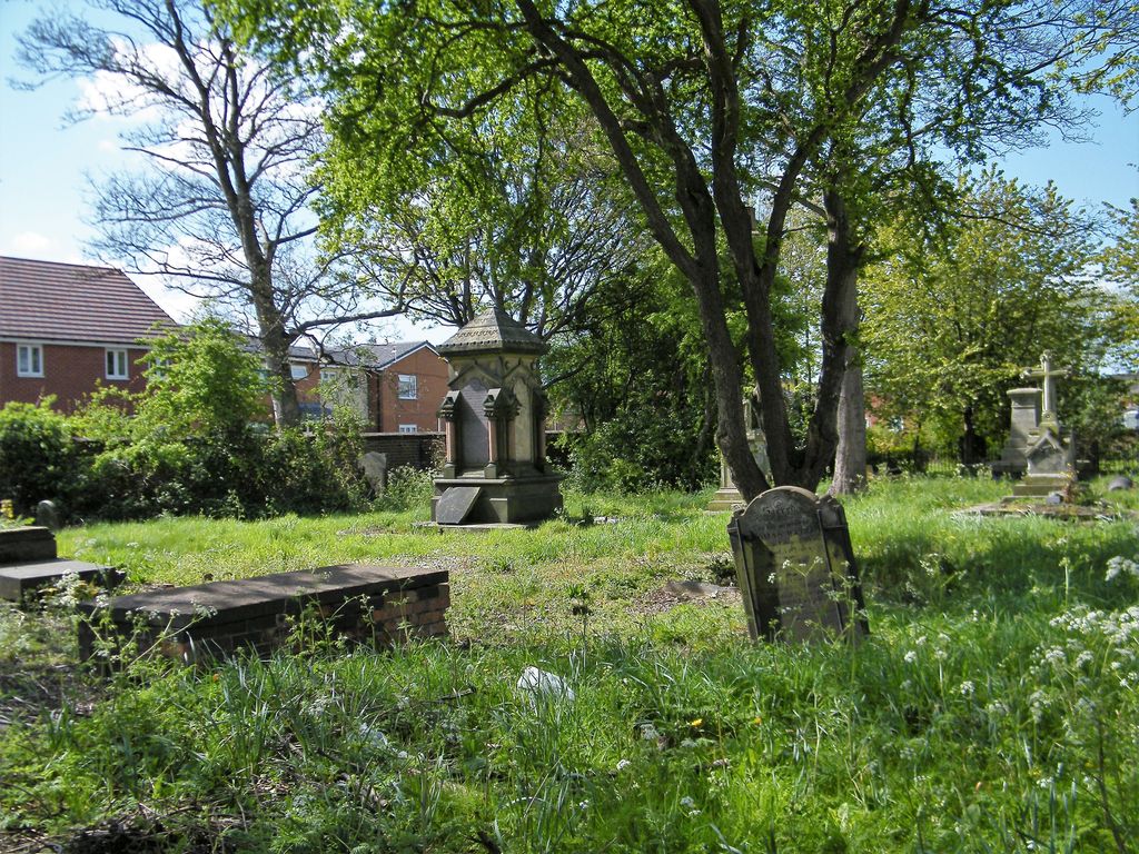
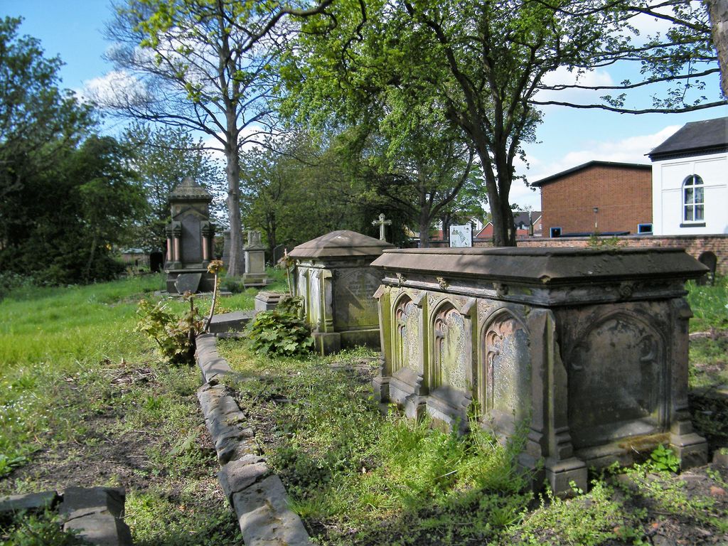
| Description | : | The Cemetery of St. Martin's Parish Church is now called: Church Yard Memorial Park - Created in 1998 to conserve the Heritage of St. Martin's Churchyard St Martin, in Lower Church Lane, was a plain Georgian structure of brick, encased in cement, and consisting of a chancel, nave, aisles, gallery, two western porches and a belfry dome, within which is a peal of eight bells. The church was built under an Act of Parliament in 1797 to replace the ancient Tipton parish church of St John, at Summer Hill, which at that time was unfit for use. The registers appear... Read More |
frequently asked questions (FAQ):
-
Where is St. Martins Parish Church Pepper Box?
St. Martins Parish Church Pepper Box is located at Churchyard Rd. and Lower Church Lane Tipton, Metropolitan Borough of Sandwell ,West Midlands ,England.
-
St. Martins Parish Church Pepper Box cemetery's updated grave count on graveviews.com?
0 memorials
-
Where are the coordinates of the St. Martins Parish Church Pepper Box?
Latitude: 52.5281400
Longitude: -2.0495030
Nearby Cemetories:
1. Tipton Cemetery
Tipton, Metropolitan Borough of Sandwell, England
Coordinate: 52.5321870, -2.0465760
2. Dudley Castle Crypt
Dudley, Metropolitan Borough of Dudley, England
Coordinate: 52.5144850, -2.0797650
3. St. John Churchyard
Kates Hill, Metropolitan Borough of Dudley, England
Coordinate: 52.5087060, -2.0722890
4. St Edmund King and Martyr Churchyard
Dudley, Metropolitan Borough of Dudley, England
Coordinate: 52.5119250, -2.0803230
5. Coseley Old Meeting House
Coseley, Metropolitan Borough of Dudley, England
Coordinate: 52.5428589, -2.0827699
6. Saint James Priory
Dudley, Metropolitan Borough of Dudley, England
Coordinate: 52.5155000, -2.0851000
7. Christ Churchyard
Coseley, Metropolitan Borough of Dudley, England
Coordinate: 52.5463520, -2.0798570
8. Hall Green Cemetery
Bradley, Stafford Borough, England
Coordinate: 52.5525360, -2.0728930
9. St. John's Church
Wednesbury, Metropolitan Borough of Sandwell, England
Coordinate: 52.5506170, -2.0184700
10. Darkhouse Baptist Chapel Cemetery
Sedgley, Metropolitan Borough of Dudley, England
Coordinate: 52.5495697, -2.0834915
11. Christ Church
West Bromwich, Metropolitan Borough of Sandwell, England
Coordinate: 52.5198729, -2.0004193
12. St. Thomas Churchyard
Dudley, Metropolitan Borough of Dudley, England
Coordinate: 52.5078800, -2.0881300
13. St. Peter's Churchyard
West Bromwich, Metropolitan Borough of Sandwell, England
Coordinate: 52.5192880, -1.9998700
14. Wesley Methodist Church
West Bromwich, Metropolitan Borough of Sandwell, England
Coordinate: 52.5197179, -1.9942137
15. Dudley Cemetery
Dudley, Metropolitan Borough of Dudley, England
Coordinate: 52.5052950, -2.0956290
16. St. Mary's
Bilston, Metropolitan Borough of Wolverhampton, England
Coordinate: 52.5639000, -2.0681000
17. Heath Lane Cemetery
West Bromwich, Metropolitan Borough of Sandwell, England
Coordinate: 52.5355750, -1.9885610
18. All Saints Churchyard
Moxley, Metropolitan Borough of Walsall, England
Coordinate: 52.5666000, -2.0350200
19. Wood Green Cemetery
Wednesbury, Metropolitan Borough of Sandwell, England
Coordinate: 52.5585990, -2.0081480
20. All Saints Churchyard
West Bromwich, Metropolitan Borough of Sandwell, England
Coordinate: 52.5344360, -1.9849140
21. St. Leonard's Churchyard
Bilston, Metropolitan Borough of Wolverhampton, England
Coordinate: 52.5665580, -2.0752470
22. Beacon Hill Cemetery
Bilston, Metropolitan Borough of Wolverhampton, England
Coordinate: 52.5488910, -2.1104340
23. St. Chad Roman Catholic Churchyard
Sedgley, Metropolitan Borough of Dudley, England
Coordinate: 52.5379500, -2.1194600
24. Oldbury Cemetery
Smethwick, Metropolitan Borough of Sandwell, England
Coordinate: 52.4992710, -1.9932620