
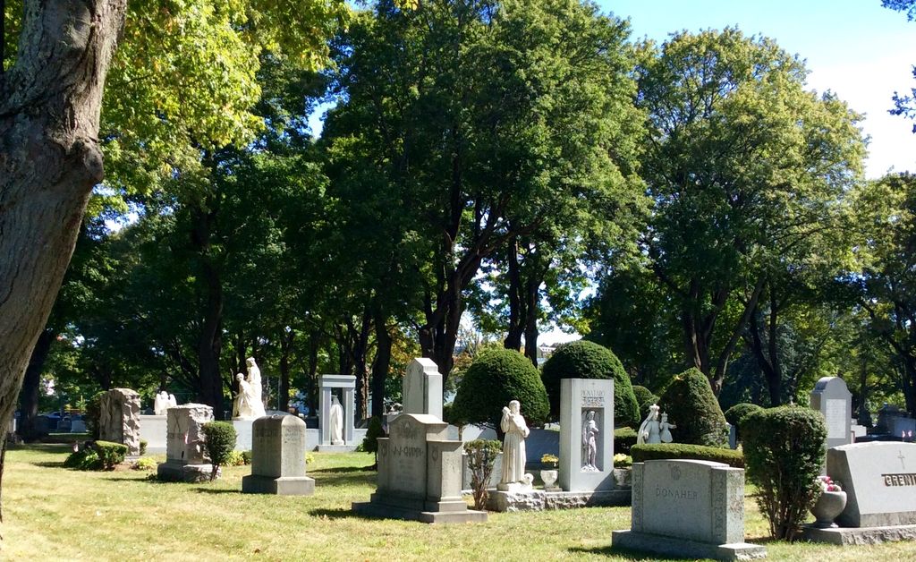
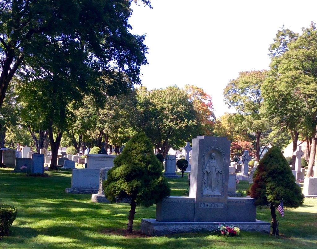
| Memorials | : | 10651 |
| Location | : | Lancaster, Worcester County, USA |
| Coordinate | : | 42.4328003, -71.6977997 |
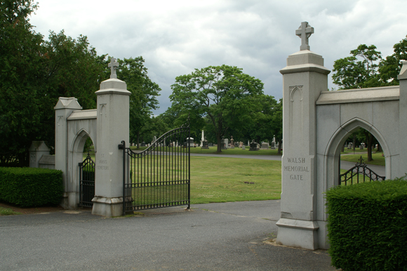
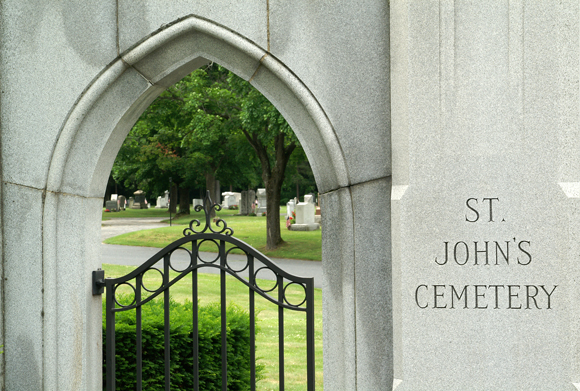
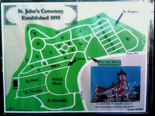
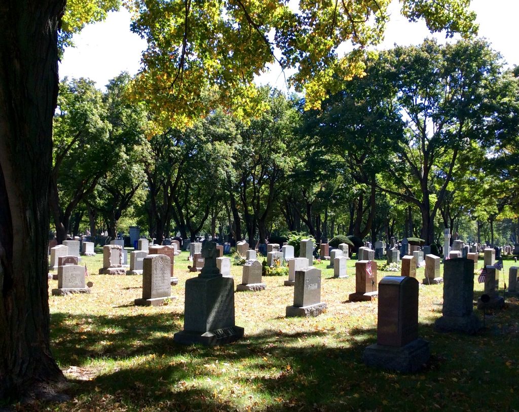
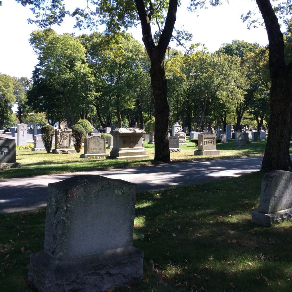
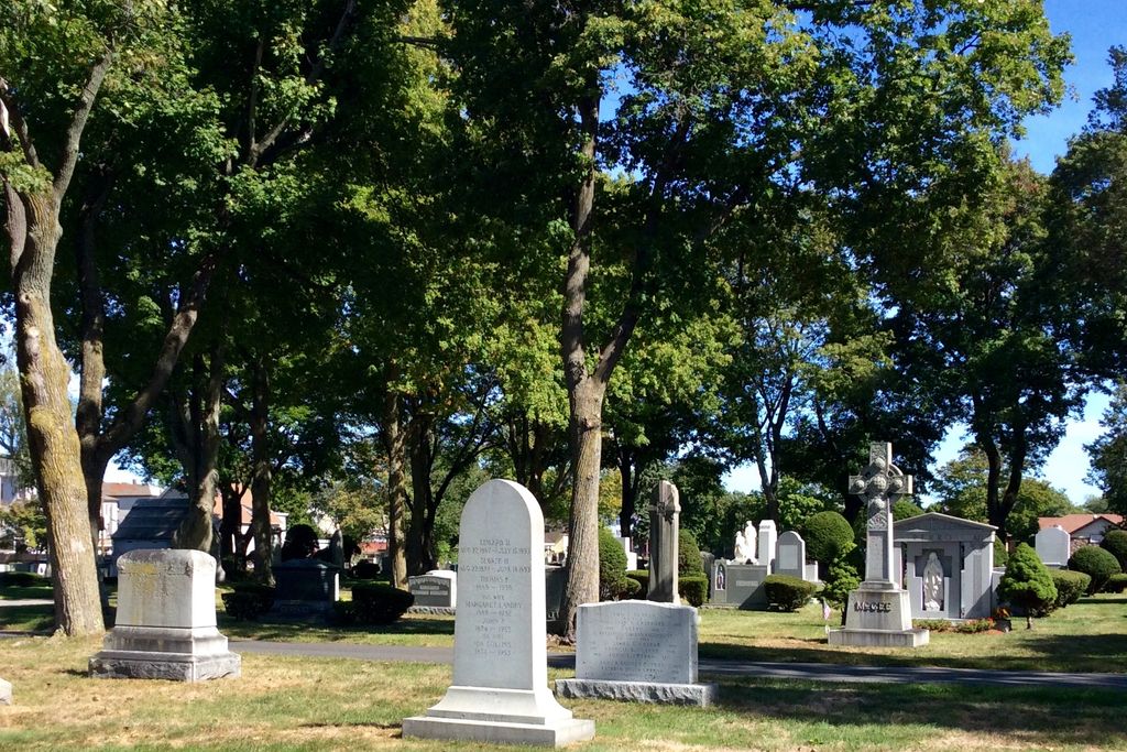
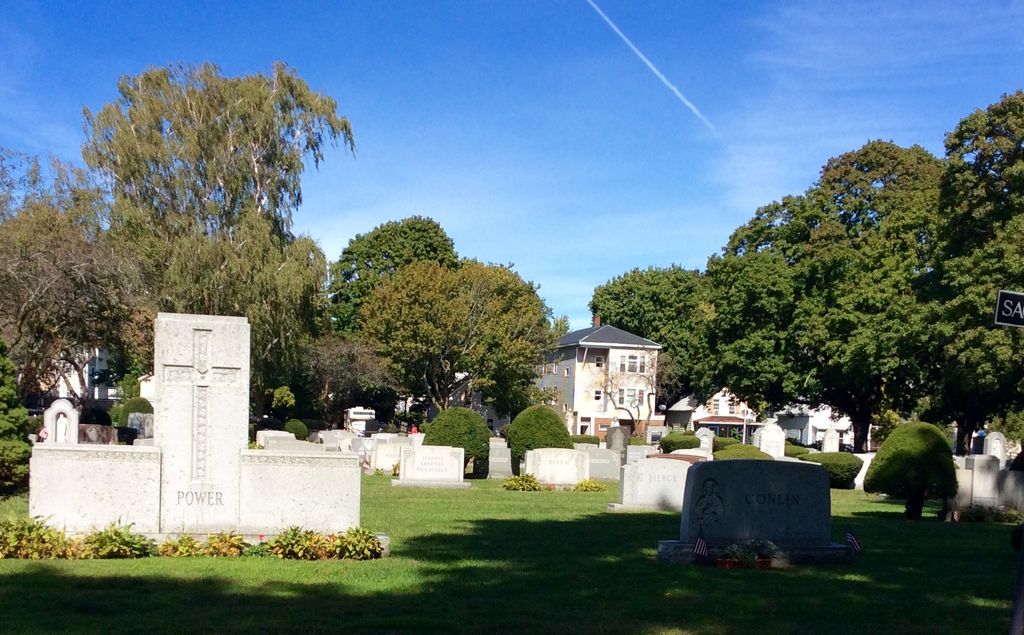
| Description | : | The cemetery now physically exists in Lancaster. The reason for the confusion is that in 1901, to make way for the Wachusett Dam in Clinton, the people in Clinton's St. John's Cemetery were dis-interred and re-buried in Lancaster. So, indeed at one point, there was a St. John's in Clinton, but not since 1901. For more information, see David Lambert's A Guide to Massachusetts Cemeteries. |
frequently asked questions (FAQ):
-
Where is Saint John's Cemetery?
Saint John's Cemetery is located at Lancaster, Worcester County ,Massachusetts ,USA.
-
Saint John's Cemetery cemetery's updated grave count on graveviews.com?
10610 memorials
-
Where are the coordinates of the Saint John's Cemetery?
Latitude: 42.4328003
Longitude: -71.6977997
Nearby Cemetories:
1. Woodlawn Cemetery
Clinton, Worcester County, USA
Coordinate: 42.4185982, -71.6889038
2. Middle Cemetery
Lancaster, Worcester County, USA
Coordinate: 42.4491997, -71.6757965
3. Old Settlers Burial Yard
Lancaster, Worcester County, USA
Coordinate: 42.4488754, -71.6742706
4. Thayer Cemetery
Lancaster, Worcester County, USA
Coordinate: 42.4578500, -71.7024400
5. Reservoir Pines Cemetery
Clinton, Worcester County, USA
Coordinate: 42.4084900, -71.7109700
6. Old Common Burial Ground
Lancaster, Worcester County, USA
Coordinate: 42.4426700, -71.6645300
7. Fairbank Burial Ground
Sterling, Worcester County, USA
Coordinate: 42.4152600, -71.7320000
8. Eastwood Cemetery
Lancaster, Worcester County, USA
Coordinate: 42.4417000, -71.6528015
9. Hillside Cemetery
Sterling, Worcester County, USA
Coordinate: 42.4410000, -71.7492570
10. Oak Hill Cemetery
Sterling, Worcester County, USA
Coordinate: 42.4417000, -71.7493973
11. North Village Cemetery
Lancaster, Worcester County, USA
Coordinate: 42.4724998, -71.6778030
12. Chocksett Burial Ground
Sterling, Worcester County, USA
Coordinate: 42.4377000, -71.7555400
13. West Burying Ground
Bolton, Worcester County, USA
Coordinate: 42.4488983, -71.6300964
14. West Cemetery
Sterling, Worcester County, USA
Coordinate: 42.4514100, -71.7651400
15. Cookshire Cemetery
Sterling, Worcester County, USA
Coordinate: 42.4108500, -71.7734800
16. Old Fry Burying Ground
Bolton, Worcester County, USA
Coordinate: 42.4077300, -71.6209900
17. Friends Burial Ground
Bolton, Worcester County, USA
Coordinate: 42.4133620, -71.6176710
18. North Cemetery
Berlin, Worcester County, USA
Coordinate: 42.4037000, -71.6225100
19. Old South Burying Ground
Bolton, Worcester County, USA
Coordinate: 42.4231000, -71.6096500
20. Saint Lukes Cemetery
West Boylston, Worcester County, USA
Coordinate: 42.3833008, -71.7568970
21. Old Burying Ground
Berlin, Worcester County, USA
Coordinate: 42.3811646, -71.6375351
22. Saint Benedict Center Cemetery
Harvard, Worcester County, USA
Coordinate: 42.4827900, -71.6231900
23. Legg Cemetery
Sterling, Worcester County, USA
Coordinate: 42.4070020, -71.7986150
24. Pan Burying Ground
Bolton, Worcester County, USA
Coordinate: 42.4305992, -71.5894012