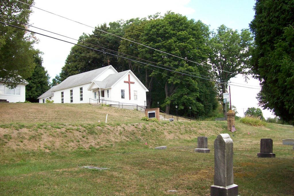
| Memorials | : | 0 |
| Location | : | Lanse, Clearfield County, USA |
| Coordinate | : | 40.9640490, -78.1660190 |
| Description | : | Located at Forest, Morrisdale R.D. near Kylertown as well as Lanse, Cooper Township |
frequently asked questions (FAQ):
-
Where is Saint John's Evangelical Lutheran Cemetery?
Saint John's Evangelical Lutheran Cemetery is located at 3495 Winburne Munson Road / Main Street (State Route 2035) Lanse, Clearfield County ,Pennsylvania , 16858USA.
-
Saint John's Evangelical Lutheran Cemetery cemetery's updated grave count on graveviews.com?
0 memorials
-
Where are the coordinates of the Saint John's Evangelical Lutheran Cemetery?
Latitude: 40.9640490
Longitude: -78.1660190
Nearby Cemetories:
1. Saint Johns Evangelical Lutheran Cemetery
Munson, Clearfield County, USA
Coordinate: 40.9640480, -78.1660100
2. Immanuel Cemetery
Clearfield County, USA
Coordinate: 40.9658012, -78.1568985
3. Emmanuel United Methodist Church Cemetery
Morrisdale, Clearfield County, USA
Coordinate: 40.9658280, -78.1567280
4. Hunter Cemetery
Allport, Clearfield County, USA
Coordinate: 40.9771996, -78.1932983
5. Old Allport Cemetery
Allport, Clearfield County, USA
Coordinate: 40.9672012, -78.2003021
6. Lanse Free Evangelical Cemetery
Lanse, Clearfield County, USA
Coordinate: 40.9736870, -78.1332280
7. Allport Cemetery
Allport, Clearfield County, USA
Coordinate: 40.9751000, -78.1986000
8. Kylertown Presbyterian Cemetery
Kylertown, Clearfield County, USA
Coordinate: 40.9914000, -78.1667000
9. Messiah Baptist Cemetery
Lanse, Clearfield County, USA
Coordinate: 40.9867000, -78.1442000
10. Saint Peter and Paul Catholic Church Cemetery
Grassflat, Clearfield County, USA
Coordinate: 40.9948000, -78.1265400
11. Saint John the Baptist Orthodox Cemetery
Hawk Run, Clearfield County, USA
Coordinate: 40.9275000, -78.2022700
12. Saint Agnes Cemetery
Morrisdale, Clearfield County, USA
Coordinate: 40.9494000, -78.2274000
13. Saints Peter and Paul Cemetery
Hawk Run, Clearfield County, USA
Coordinate: 40.9265000, -78.2071000
14. Ashcroft Cemetery
Hawk Run, Clearfield County, USA
Coordinate: 40.9251000, -78.2069000
15. Pleasant Hill United Methodist Church Cemetery
Pleasant Hill, Clearfield County, USA
Coordinate: 41.0062000, -78.1300000
16. Grassflat Lanse Lutheran Cemetery
Grassflat, Clearfield County, USA
Coordinate: 41.0034000, -78.1195000
17. Grandview Cemetery
Morrisdale, Clearfield County, USA
Coordinate: 40.9446983, -78.2358017
18. Sylvan Grove Cemetery
Sylvan Grove, Clearfield County, USA
Coordinate: 41.0202350, -78.1624550
19. Summit Hill Cemetery
Morrisdale, Clearfield County, USA
Coordinate: 40.9645000, -78.2506000
20. Centre Cemetery
Hyde, Clearfield County, USA
Coordinate: 40.9710999, -78.2544022
21. Centre Hill United Methodist Cemetery
Morrisdale, Clearfield County, USA
Coordinate: 40.9713430, -78.2544680
22. Butler Cemetery
Centre County, USA
Coordinate: 40.9028015, -78.1271973
23. Krasinski Family Cemetery
Morrisdale, Clearfield County, USA
Coordinate: 41.0328770, -78.1552160
24. Palestine Cemetery
Morrisdale, Clearfield County, USA
Coordinate: 41.0234000, -78.2211000

