
| Memorials | : | 30 |
| Location | : | Bern, Nemaha County, USA |
| Coordinate | : | 39.9538900, -95.9977700 |
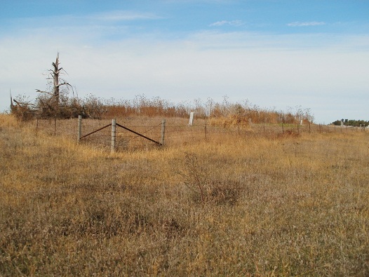
| Description | : | This abandoned cemetery is located one and one-half miles West of Bern turning South on the first gravel road. After a 1/2 mile the cemetery is visible 1/8 mile to the West side of the road. |
frequently asked questions (FAQ):
-
Where is Saint John Lutheran Cemetery?
Saint John Lutheran Cemetery is located at Bern, Nemaha County ,Kansas ,USA.
-
Saint John Lutheran Cemetery cemetery's updated grave count on graveviews.com?
30 memorials
-
Where are the coordinates of the Saint John Lutheran Cemetery?
Latitude: 39.9538900
Longitude: -95.9977700

Nearby Cemetories:
1. Bern Cemetery
Bern, Nemaha County, USA
Coordinate: 39.9637299, -95.9781494
2. German Lutheran Cemetery
Bern, Nemaha County, USA
Coordinate: 39.9794500, -96.0234300
3. Williams Cemetery
Bern, Nemaha County, USA
Coordinate: 39.9219017, -95.9741974
4. Four Mile Cemetery
Bern, Nemaha County, USA
Coordinate: 39.9857900, -95.9568900
5. Coal City Cemetery
Seneca, Nemaha County, USA
Coordinate: 39.9498500, -96.0689600
6. Bloss Cemetery
Seneca, Nemaha County, USA
Coordinate: 39.9053900, -96.0318600
7. Cincinnati Cemetery
Du Bois, Pawnee County, USA
Coordinate: 40.0042000, -96.0274963
8. Scotch Valley Cemetery
Nemaha County, USA
Coordinate: 39.9578018, -96.0699997
9. Friedens United Church of Christ Cemetery
Bern, Nemaha County, USA
Coordinate: 39.9929008, -96.0529480
10. Bern Apostolic Christian Church Cemetery
Bern, Nemaha County, USA
Coordinate: 39.9282888, -95.9203416
11. Stoldt Cemetery
Sabetha, Nemaha County, USA
Coordinate: 39.9140500, -95.9155300
12. Bestwick Cemetery
Sabetha, Nemaha County, USA
Coordinate: 39.9862595, -95.9100037
13. DuBois Cemetery
Du Bois, Pawnee County, USA
Coordinate: 40.0231018, -96.0488968
14. Strahm Cemetery
Bern, Nemaha County, USA
Coordinate: 39.9425011, -95.8824997
15. Athens Cemetery
Richardson County, USA
Coordinate: 40.0449982, -95.9852982
16. Saint Peters Evangelican Cemetery
Du Bois, Pawnee County, USA
Coordinate: 40.0010000, -96.1095000
17. Oneida Cemetery
Oneida, Nemaha County, USA
Coordinate: 39.8638500, -95.9482200
18. Saint Marys Cemetery
Saint Benedict, Nemaha County, USA
Coordinate: 39.8866997, -96.0982971
19. Prairie Star Pioneer Cemetery
Du Bois, Pawnee County, USA
Coordinate: 40.0293000, -96.1041000
20. Four Mile Cemetery
Humboldt, Richardson County, USA
Coordinate: 40.0589000, -95.9455000
21. Pleasant Hill Cemetery
Richardson County, USA
Coordinate: 40.0471992, -95.9075012
22. Seneca City Cemetery
Seneca, Nemaha County, USA
Coordinate: 39.8499603, -96.0712128
23. McCaffrey Cemetery
Nemaha County, USA
Coordinate: 39.9827100, -96.1474500
24. Saints Peter and Paul Cemetery
Seneca, Nemaha County, USA
Coordinate: 39.8488998, -96.0702972