
| Memorials | : | 342 |
| Location | : | Boulder, Jefferson County, USA |
| Coordinate | : | 46.1234000, -111.9505000 |
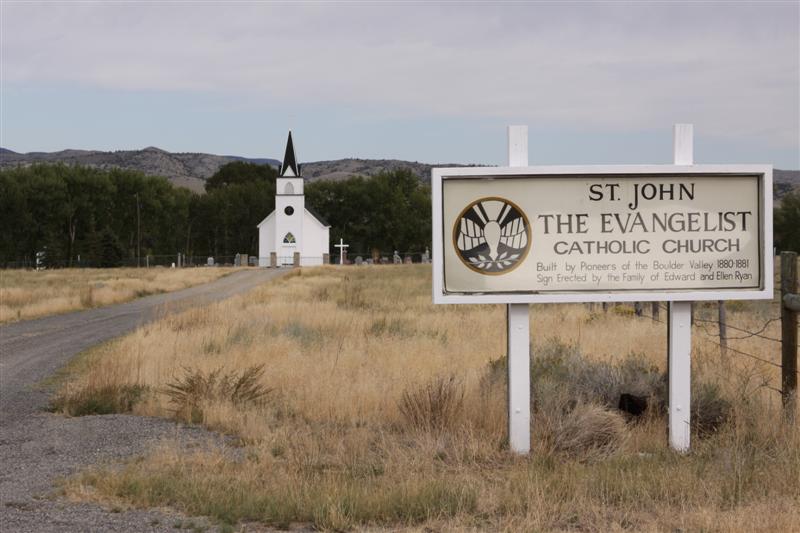
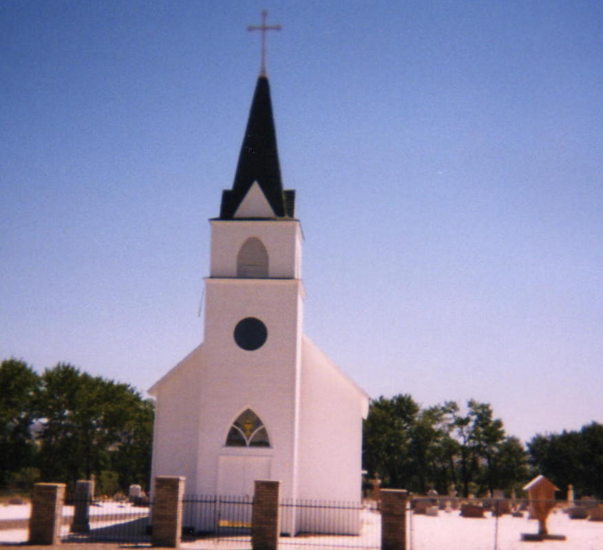
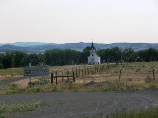
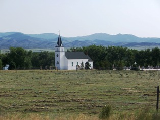
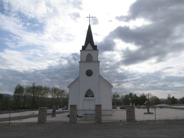
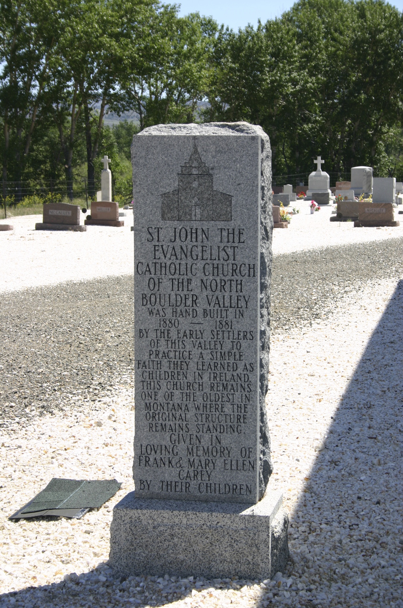
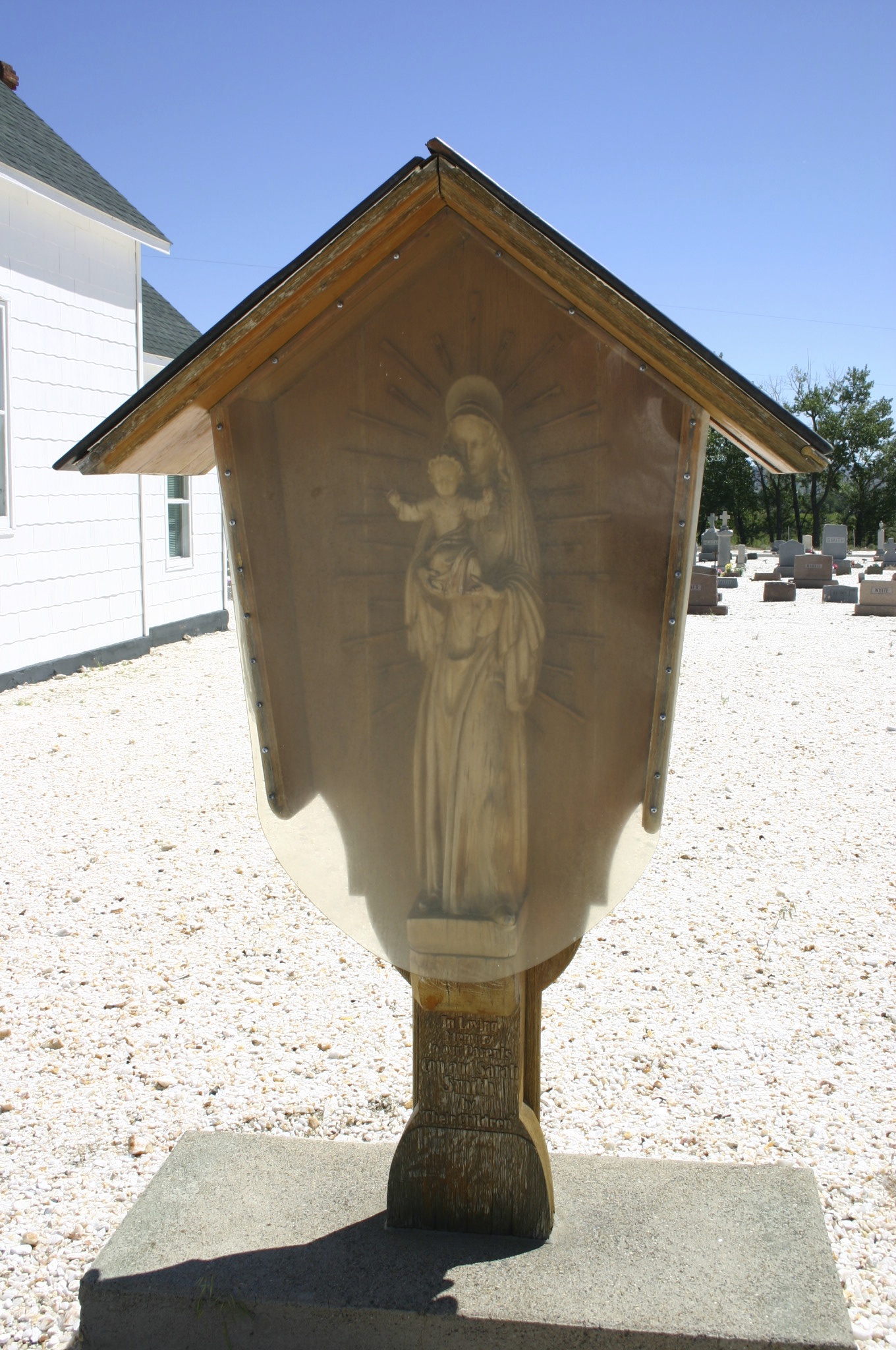
| Description | : | North Boulder Cemetery is located behind St. John The Evangelist Catholic Church, just off Hwy 69 at about mile marker 26. |
frequently asked questions (FAQ):
-
Where is Saint John the Evangelist Catholic Church Cemetery?
Saint John the Evangelist Catholic Church Cemetery is located at Boulder, Jefferson County ,Montana ,USA.
-
Saint John the Evangelist Catholic Church Cemetery cemetery's updated grave count on graveviews.com?
342 memorials
-
Where are the coordinates of the Saint John the Evangelist Catholic Church Cemetery?
Latitude: 46.1234000
Longitude: -111.9505000
Nearby Cemetories:
1. Elkhorn Cemetery
Elkhorn, Jefferson County, USA
Coordinate: 46.2683450, -111.9480010
2. Boulder Cemetery
Boulder, Jefferson County, USA
Coordinate: 46.2393990, -112.1074982
3. Parker Cemetery
Broadwater County, USA
Coordinate: 46.1760000, -111.6130000
4. Radersburg Cemetery
Radersburg, Broadwater County, USA
Coordinate: 46.1765990, -111.6126290
5. Old Whitehall Cemetery
Whitehall, Jefferson County, USA
Coordinate: 45.9077988, -112.1038971
6. Macomber Field Cemetery
Radersburg, Broadwater County, USA
Coordinate: 46.1744100, -111.5986100
7. Rainville Memorial Cemetery
Basin, Jefferson County, USA
Coordinate: 46.2736630, -112.2514180
8. Whitehall Cemetery
Whitehall, Jefferson County, USA
Coordinate: 45.8716050, -112.0875190
9. Jefferson City Cemetery
Jefferson City, Jefferson County, USA
Coordinate: 46.3913000, -112.0308000
10. Charity Jane Dillon Gravesite
Townsend, Broadwater County, USA
Coordinate: 46.2947200, -111.5875770
11. South Boulder Cemetery
Madison County, USA
Coordinate: 45.8168983, -111.9381027
12. Williams Family Cemetery
Jefferson County, USA
Coordinate: 45.8304750, -111.7025450
13. Sappington Cemetery
Gallatin County, USA
Coordinate: 45.7906890, -111.7701390
14. Mount Green Cemetery
Willow Creek, Gallatin County, USA
Coordinate: 45.8300018, -111.6453018
15. Shull Cemetery
Broadwater County, USA
Coordinate: 46.1678760, -111.4242520
16. Missouri Headwaters State Park Cemetery
Trident, Gallatin County, USA
Coordinate: 45.9346470, -111.4937960
17. Centerville Cemetery
Townsend, Broadwater County, USA
Coordinate: 46.3375140, -111.5142990
18. Deep Creek Cemetery
Townsend, Broadwater County, USA
Coordinate: 46.2832000, -111.4667000
19. Stateler Cemetery
Willow Creek, Gallatin County, USA
Coordinate: 45.8170395, -111.6383972
20. Holy Cross Cemetery
Townsend, Broadwater County, USA
Coordinate: 46.3182983, -111.4831009
21. Fairview Cemetery
Three Forks, Gallatin County, USA
Coordinate: 45.8717003, -111.5325012
22. Potters Field
Butte, Silver Bow County, USA
Coordinate: 45.9894470, -112.4773280
23. Fish Creek Cemetery
Whitehall, Jefferson County, USA
Coordinate: 45.7599983, -112.1772003
24. John Montgomery Gravesite
Unionville, Lewis and Clark County, USA
Coordinate: 46.5170000, -112.0845000