| Memorials | : | 7 |
| Location | : | Basin, Jefferson County, USA |
| Coordinate | : | 46.2736630, -112.2514180 |
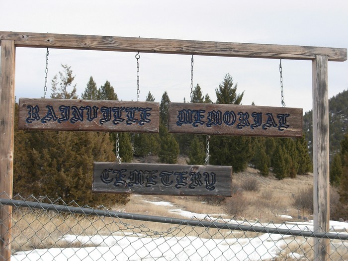
| Description | : | Rainville Cemetery is located behind the Basin landfill off the frontage road. The newer part of the cemetery is in in fairly good condition. But, the older part is in very poor condition. It has four sections, two of them on a hill. |
frequently asked questions (FAQ):
-
Where is Rainville Memorial Cemetery?
Rainville Memorial Cemetery is located at Basin, Jefferson County ,Montana ,USA.
-
Rainville Memorial Cemetery cemetery's updated grave count on graveviews.com?
7 memorials
-
Where are the coordinates of the Rainville Memorial Cemetery?
Latitude: 46.2736630
Longitude: -112.2514180
Nearby Cemetories:
1. Boulder Cemetery
Boulder, Jefferson County, USA
Coordinate: 46.2393990, -112.1074982
2. Jefferson City Cemetery
Jefferson City, Jefferson County, USA
Coordinate: 46.3913000, -112.0308000
3. Elkhorn Cemetery
Elkhorn, Jefferson County, USA
Coordinate: 46.2683450, -111.9480010
4. Saint John the Evangelist Catholic Church Cemetery
Boulder, Jefferson County, USA
Coordinate: 46.1234000, -111.9505000
5. John Montgomery Gravesite
Unionville, Lewis and Clark County, USA
Coordinate: 46.5170000, -112.0845000
6. Old Elliston Cemetery
Elliston, Powell County, USA
Coordinate: 46.5610000, -112.3983000
7. Elliston Cemetery
Elliston, Powell County, USA
Coordinate: 46.5693090, -112.4406270
8. Potters Field
Butte, Silver Bow County, USA
Coordinate: 45.9894470, -112.4773280
9. Saint Johns Columbarium
Butte, Silver Bow County, USA
Coordinate: 45.9923000, -112.5178000
10. Old Catholic Cemetery
Helena, Lewis and Clark County, USA
Coordinate: 46.5779120, -112.0183220
11. Plymouth Congregational Church Columbarium
Helena, Lewis and Clark County, USA
Coordinate: 46.5804000, -112.0109000
12. Calvary Cemetery
Lewis and Clark County, USA
Coordinate: 46.5997009, -112.0714035
13. City Cemetery (Defunct)
Helena, Lewis and Clark County, USA
Coordinate: 46.5896660, -112.0360010
14. Mount Moriah Cemetery
Butte, Silver Bow County, USA
Coordinate: 45.9885500, -112.5423400
15. BNai Israel Cemetery
Butte, Silver Bow County, USA
Coordinate: 45.9865700, -112.5409000
16. Cathedral of the Sacred Hearts of Jesus and Mary
Helena, Lewis and Clark County, USA
Coordinate: 46.5902550, -112.0339480
17. Saint Peters Episcopal Cathedral Columbarium
Helena, Lewis and Clark County, USA
Coordinate: 46.5925598, -112.0400925
18. Saint Patrick's Cemetery
Butte, Silver Bow County, USA
Coordinate: 45.9844017, -112.5406036
19. Montana State Veterans Cemetery
Helena, Lewis and Clark County, USA
Coordinate: 46.6151886, -112.0993042
20. Mountain View Cemetery
Butte, Silver Bow County, USA
Coordinate: 45.9622720, -112.5077200
21. Benton Avenue Cemetery
Helena, Lewis and Clark County, USA
Coordinate: 46.6045265, -112.0415497
22. Fort William Henry Harrison Cemetery
Helena, Lewis and Clark County, USA
Coordinate: 46.6227000, -112.1103000
23. Old Saint Marys Catholic Cemetery
Helena, Lewis and Clark County, USA
Coordinate: 46.5958150, -112.0105560
24. Montana Medal of Honor Grove
Helena, Lewis and Clark County, USA
Coordinate: 46.6227300, -112.0956300

