
| Memorials | : | 6 |
| Location | : | Sleepy Eye, Brown County, USA |
| Coordinate | : | 44.2201100, -94.8469400 |
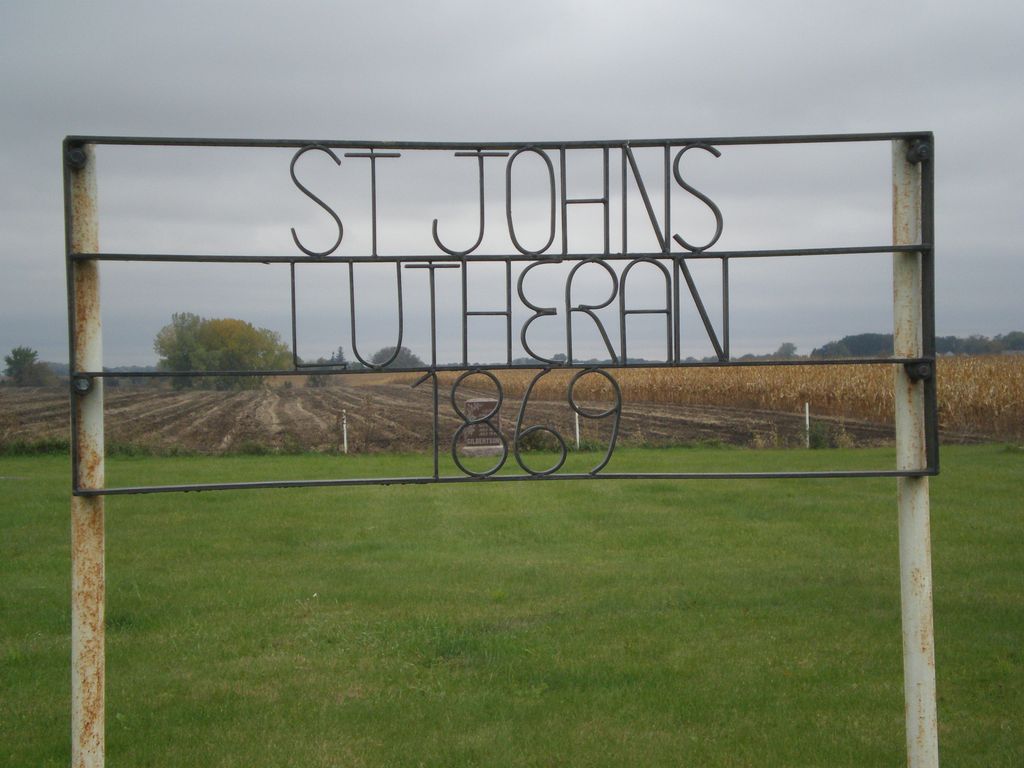
| Description | : | This small cemetery is located on top of a hill on 330th Ave., straight south of Cobden. It is two miles west of Leavenworth and 1/2 mile south of county 24. It is mowed, but not very well maintained. There could be more stones under the grass. |
frequently asked questions (FAQ):
-
Where is Saint Johns Lutheran Cemetery?
Saint Johns Lutheran Cemetery is located at Township Road 199 Sleepy Eye, Brown County ,Minnesota , 56087USA.
-
Saint Johns Lutheran Cemetery cemetery's updated grave count on graveviews.com?
6 memorials
-
Where are the coordinates of the Saint Johns Lutheran Cemetery?
Latitude: 44.2201100
Longitude: -94.8469400
Nearby Cemetories:
1. Japanese Martyrs Church Cemetery
Leavenworth, Brown County, USA
Coordinate: 44.2214320, -94.8056520
2. Saint Johns Lutheran Cemetery
Springfield, Brown County, USA
Coordinate: 44.2289800, -94.9069940
3. Mielke Cemetery
Cobden, Brown County, USA
Coordinate: 44.2677994, -94.8127975
4. Springfield Cemetery
Springfield, Brown County, USA
Coordinate: 44.2308006, -94.9574966
5. Saint Paul Lutheran Cemetery
Springfield, Brown County, USA
Coordinate: 44.2538986, -94.9610977
6. Zion Lutheran Cemetery
Springfield, Brown County, USA
Coordinate: 44.2539902, -94.9623871
7. Moravian Cemetery
Springfield, Brown County, USA
Coordinate: 44.1747017, -94.9599991
8. Dannebod Cemetery
Morgan, Redwood County, USA
Coordinate: 44.3107060, -94.8906330
9. New Hope Faith Lutheran Cemetery
Comfrey, Brown County, USA
Coordinate: 44.1296997, -94.8985977
10. Saint Raphael Catholic Cemetery
Springfield, Brown County, USA
Coordinate: 44.2528000, -94.9768982
11. Oak Ridge Cemetery
Stark, Brown County, USA
Coordinate: 44.2392700, -94.6988700
12. Salem German Lutheran Cemetery
Comfrey, Brown County, USA
Coordinate: 44.1099780, -94.8193220
13. Saint Paul's Catholic Cemetery
Comfrey, Brown County, USA
Coordinate: 44.1140900, -94.8997700
14. Sleepy Eye Depot and Museum
Sleepy Eye, Brown County, USA
Coordinate: 44.2984320, -94.7231580
15. Catholic Cemetery
Sleepy Eye, Brown County, USA
Coordinate: 44.3058014, -94.7193985
16. Home Cemetery
Sleepy Eye, Brown County, USA
Coordinate: 44.3046989, -94.7114029
17. Congregational Cemetery
Cottonwood County, USA
Coordinate: 44.0867004, -94.8780975
18. North Star E.U. B. Cemetery
Brown County, USA
Coordinate: 44.2633018, -95.0468979
19. Union Cemetery
Evan, Brown County, USA
Coordinate: 44.3691000, -94.7918800
20. Christ Lutheran Cemetery
Brown County, USA
Coordinate: 44.1365471, -95.0298462
21. Albion Lutheran Church Cemetery
Albin Township, Brown County, USA
Coordinate: 44.1154500, -94.6794700
22. West Sveadahl Cemetery
Watonwan County, USA
Coordinate: 44.0722198, -94.7375031
23. Saint Johns Lutheran Cemetery
Darfur, Watonwan County, USA
Coordinate: 44.0508003, -94.8450012
24. Bethlehem Cemetery
Darfur, Watonwan County, USA
Coordinate: 44.0505981, -94.8574982