
| Memorials | : | 9 |
| Location | : | Comfrey, Brown County, USA |
| Coordinate | : | 44.1099780, -94.8193220 |
| Description | : | SE corner of Sec. 32 Mulligan Township (4 miles E of Comfrey) |
frequently asked questions (FAQ):
-
Where is Salem German Lutheran Cemetery?
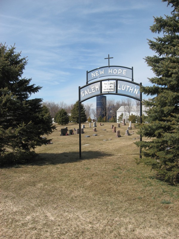
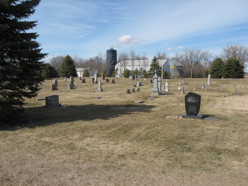
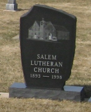
Salem German Lutheran Cemetery is located at Comfrey, Brown County ,Minnesota ,USA.
-
Salem German Lutheran Cemetery cemetery's updated grave count on graveviews.com?
9 memorials
-
Where are the coordinates of the Salem German Lutheran Cemetery?
Latitude: 44.1099780
Longitude: -94.8193220
Nearby Cemetories:
1. Congregational Cemetery
Cottonwood County, USA
Coordinate: 44.0867004, -94.8780975
2. Saint Paul's Catholic Cemetery
Comfrey, Brown County, USA
Coordinate: 44.1140900, -94.8997700
3. New Hope Faith Lutheran Cemetery
Comfrey, Brown County, USA
Coordinate: 44.1296997, -94.8985977
4. Saint Johns Lutheran Cemetery
Darfur, Watonwan County, USA
Coordinate: 44.0508003, -94.8450012
5. Bethlehem Cemetery
Darfur, Watonwan County, USA
Coordinate: 44.0505981, -94.8574982
6. West Sveadahl Cemetery
Watonwan County, USA
Coordinate: 44.0722198, -94.7375031
7. Haseman Post Cemetery
Butterfield, Watonwan County, USA
Coordinate: 44.0215700, -94.8091700
8. First Mennonite Cemetery
Butterfield, Watonwan County, USA
Coordinate: 44.0213690, -94.7781160
9. Albion Lutheran Church Cemetery
Albin Township, Brown County, USA
Coordinate: 44.1154500, -94.6794700
10. Japanese Martyrs Church Cemetery
Leavenworth, Brown County, USA
Coordinate: 44.2214320, -94.8056520
11. Saint Johns Lutheran Cemetery
Sleepy Eye, Brown County, USA
Coordinate: 44.2201100, -94.8469400
12. Mountain Lake Christian Reformed Cemetery
Cottonwood County, USA
Coordinate: 44.0570730, -94.9596980
13. Moravian Cemetery
Springfield, Brown County, USA
Coordinate: 44.1747017, -94.9599991
14. East Sveadahl Cemetery
Saint James, Watonwan County, USA
Coordinate: 44.0486107, -94.6602783
15. Saint Johns Lutheran Cemetery
Springfield, Brown County, USA
Coordinate: 44.2289800, -94.9069940
16. Mennonite Church of Butterfield Cemetery
Watonwan County, USA
Coordinate: 43.9752990, -94.7986450
17. Christ Lutheran Cemetery
Brown County, USA
Coordinate: 44.1365471, -95.0298462
18. Delton Cemetery
Cottonwood County, USA
Coordinate: 44.0539017, -95.0207977
19. Oak Ridge Cemetery
Stark, Brown County, USA
Coordinate: 44.2392700, -94.6988700
20. Springfield Cemetery
Springfield, Brown County, USA
Coordinate: 44.2308006, -94.9574966
21. Mielke Cemetery
Cobden, Brown County, USA
Coordinate: 44.2677994, -94.8127975
22. Butterfield City Cemetery
Butterfield, Watonwan County, USA
Coordinate: 43.9489600, -94.7909400
23. Saint Matthews Evangelical Lutheran Cemetery
Butterfield, Watonwan County, USA
Coordinate: 43.9489100, -94.7899800
24. Fast Family Cemetery
Mountain Lake, Cottonwood County, USA
Coordinate: 43.9851600, -94.9752900