
| Memorials | : | 0 |
| Location | : | Bremen, Randolph County, USA |
| Coordinate | : | 38.0047600, -89.7731100 |
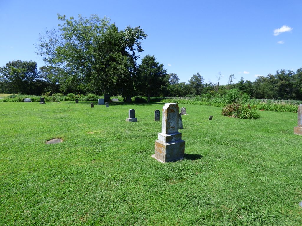
| Description | : | AKA Old Zion Lutheran Cemetery - located on Pinewood Road off of Shawneetown Trail This information is condensed from Lucille Wittenborn Wiechens book "The Wittenborn Family of Randolph County". 1990 The property was purchased for the congregation on Feb 25, 1858 and St. John's Lutheran Congregation was formed. A log church was built. This congregation was active until the organization of Zion Evangelical Lutheran which is located 1/4 mile west and 1/4 mile north of this site. The last two burials on this cemetery were those of Ben Hapke and Henry Lindwedel in 1937. In 1938, the directors held a sale and disposed of... Read More |
frequently asked questions (FAQ):
-
Where is Saint Johns Lutheran Cemetery?
Saint Johns Lutheran Cemetery is located at Pinewood Road Bremen, Randolph County ,Illinois , 62297USA.
-
Saint Johns Lutheran Cemetery cemetery's updated grave count on graveviews.com?
0 memorials
-
Where are the coordinates of the Saint Johns Lutheran Cemetery?
Latitude: 38.0047600
Longitude: -89.7731100
Nearby Cemetories:
1. Zion Lutheran Church Cemetery
Walsh, Randolph County, USA
Coordinate: 38.0194060, -89.7828470
2. Saint Peters Lutheran Cemetery #2
Bremen, Randolph County, USA
Coordinate: 37.9818840, -89.7514760
3. New Palestine Church Cemetery
New Palestine, Randolph County, USA
Coordinate: 37.9969749, -89.8178635
4. Saint John's Evangelical Lutheran Cemetery
Bremen, Randolph County, USA
Coordinate: 37.9752110, -89.7413000
5. Paradise Cemetery
Bremen, Randolph County, USA
Coordinate: 37.9738998, -89.7316971
6. Adams Cemetery
Bremen, Randolph County, USA
Coordinate: 37.9604840, -89.7841900
7. Hughes Cemetery
Randolph County, USA
Coordinate: 38.0346985, -89.8246994
8. Campbell Cemetery
Steeleville, Randolph County, USA
Coordinate: 38.0181380, -89.7064160
9. Hartley Cemetery
Steeleville, Randolph County, USA
Coordinate: 37.9867890, -89.7036390
10. Menard Cemetery
Randolph County, USA
Coordinate: 38.0491791, -89.8212967
11. Mann Cemetery
Randolph County, USA
Coordinate: 37.9639015, -89.8358002
12. Saint John Evangelical Lutheran Cemetery
Chester, Randolph County, USA
Coordinate: 37.9322014, -89.8221970
13. Saint Mark Lutheran Cemetery
Steeleville, Randolph County, USA
Coordinate: 38.0065600, -89.6683500
14. Village Cemetery
Steeleville, Randolph County, USA
Coordinate: 38.0063770, -89.6678560
15. Steeleville City Cemetery
Steeleville, Randolph County, USA
Coordinate: 38.0064500, -89.6674100
16. Old Saint Mary's Cemetery
Chester, Randolph County, USA
Coordinate: 37.9354650, -89.8317720
17. Saint Marys Catholic Cemetery
Chester, Randolph County, USA
Coordinate: 37.9235992, -89.8208008
18. Peace Lutheran Cemetery
Steeleville, Randolph County, USA
Coordinate: 38.0180700, -89.6587400
19. Union Cemetery
Sparta, Randolph County, USA
Coordinate: 38.0881004, -89.7217026
20. Saint Paul Lutheran Cemetery
Wine Hill, Randolph County, USA
Coordinate: 37.9479866, -89.6772766
21. Evergreen Cemetery
Chester, Randolph County, USA
Coordinate: 37.9160995, -89.8249969
22. Saint Peters Lutheran Cemetery
Wine Hill, Randolph County, USA
Coordinate: 37.9438400, -89.6742540
23. Stipe Cemetery
Ellis Grove, Randolph County, USA
Coordinate: 38.0327988, -89.8961029
24. Saint Pius Cemetery
Randolph County, USA
Coordinate: 38.0858002, -89.8507996