
| Memorials | : | 1 |
| Location | : | Bremen, Randolph County, USA |
| Coordinate | : | 37.9818840, -89.7514760 |
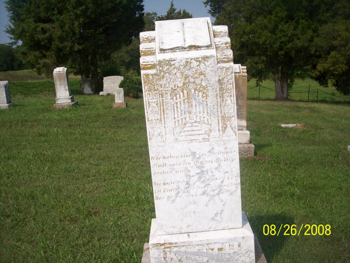
| Description | : | St. Peter's Lutheran Cemetery (#2) is located off the Bremen-Sparta road; it is visible from the road. |
frequently asked questions (FAQ):
-
Where is Saint Peters Lutheran Cemetery #2?
Saint Peters Lutheran Cemetery #2 is located at Bremen, Randolph County ,Illinois ,USA.
-
Saint Peters Lutheran Cemetery #2 cemetery's updated grave count on graveviews.com?
1 memorials
-
Where are the coordinates of the Saint Peters Lutheran Cemetery #2?
Latitude: 37.9818840
Longitude: -89.7514760
Nearby Cemetories:
1. Saint John's Evangelical Lutheran Cemetery
Bremen, Randolph County, USA
Coordinate: 37.9752110, -89.7413000
2. Paradise Cemetery
Bremen, Randolph County, USA
Coordinate: 37.9738998, -89.7316971
3. Saint Johns Lutheran Cemetery
Bremen, Randolph County, USA
Coordinate: 38.0047600, -89.7731100
4. Adams Cemetery
Bremen, Randolph County, USA
Coordinate: 37.9604840, -89.7841900
5. Hartley Cemetery
Steeleville, Randolph County, USA
Coordinate: 37.9867890, -89.7036390
6. Zion Lutheran Church Cemetery
Walsh, Randolph County, USA
Coordinate: 38.0194060, -89.7828470
7. Campbell Cemetery
Steeleville, Randolph County, USA
Coordinate: 38.0181380, -89.7064160
8. New Palestine Church Cemetery
New Palestine, Randolph County, USA
Coordinate: 37.9969749, -89.8178635
9. Saint Paul Lutheran Cemetery
Wine Hill, Randolph County, USA
Coordinate: 37.9479866, -89.6772766
10. Mann Cemetery
Randolph County, USA
Coordinate: 37.9639015, -89.8358002
11. Saint Mark Lutheran Cemetery
Steeleville, Randolph County, USA
Coordinate: 38.0065600, -89.6683500
12. Village Cemetery
Steeleville, Randolph County, USA
Coordinate: 38.0063770, -89.6678560
13. Steeleville City Cemetery
Steeleville, Randolph County, USA
Coordinate: 38.0064500, -89.6674100
14. Saint Peters Lutheran Cemetery
Wine Hill, Randolph County, USA
Coordinate: 37.9438400, -89.6742540
15. Saint John Evangelical Lutheran Cemetery
Chester, Randolph County, USA
Coordinate: 37.9322014, -89.8221970
16. Hughes Cemetery
Randolph County, USA
Coordinate: 38.0346985, -89.8246994
17. Old Saint Mary's Cemetery
Chester, Randolph County, USA
Coordinate: 37.9354650, -89.8317720
18. Saint Marys Catholic Cemetery
Chester, Randolph County, USA
Coordinate: 37.9235992, -89.8208008
19. Mill Creek Cemetery
Randolph County, USA
Coordinate: 37.9174995, -89.6885986
20. Peace Lutheran Cemetery
Steeleville, Randolph County, USA
Coordinate: 38.0180700, -89.6587400
21. Menard Cemetery
Randolph County, USA
Coordinate: 38.0491791, -89.8212967
22. Evergreen Cemetery
Chester, Randolph County, USA
Coordinate: 37.9160995, -89.8249969
23. Draves Cemetery
Randolph County, USA
Coordinate: 37.8950005, -89.7288971
24. Johnson Cemetery
Rockwood, Randolph County, USA
Coordinate: 37.8929120, -89.7489840