| Memorials | : | 7 |
| Location | : | Dunnington, Benton County, USA |
| Coordinate | : | 40.5646439, -87.4910736 |
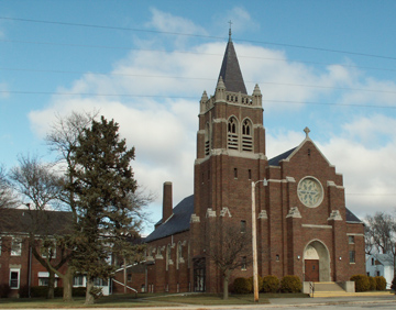
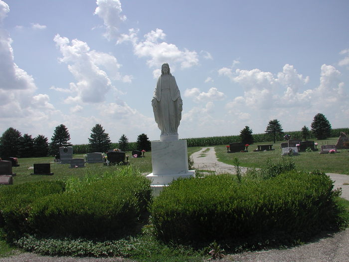
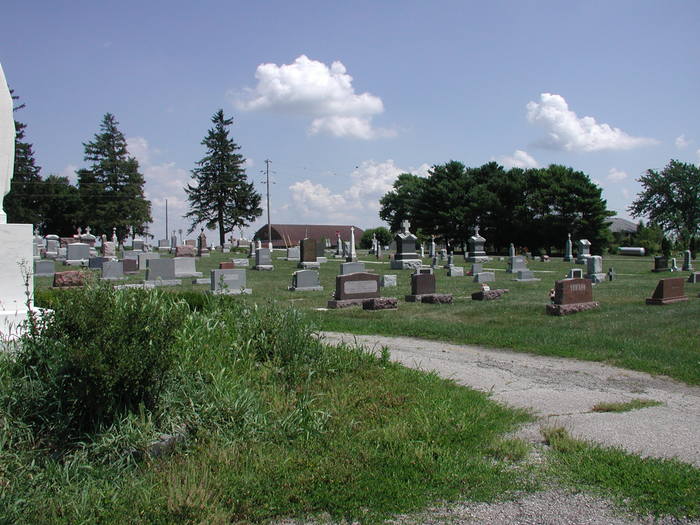
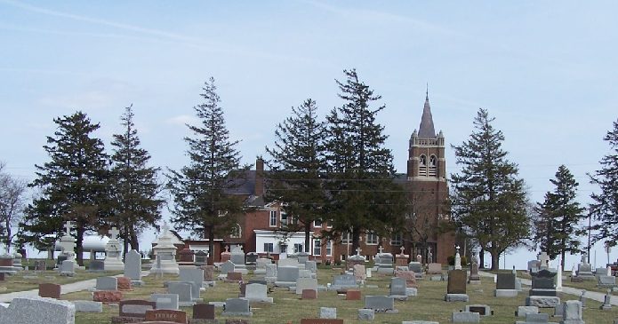
| Description | : | The cemetery is located in Parish Grove Township (SE quadrant of the SE quadrant of the SE quadrant of Section 36 Township 25N Range 10W) on the northwest corner of the intersection of S County Road 900 W (Indiana State Highway 71) and W County Road 300 S. Indiana Cemetery Locations, Volume 3, published by the Indiana Genealogical Society (April 2007), gives the primary cemetery name as Saint Mary Cemetery with an alternate name of Dunnington Catholic Cemetery. The cemetery is listed in the Cemetery and Burial Grounds Registry of the Indiana Department of Natural Resources (DNR) and... Read More |
frequently asked questions (FAQ):
-
Where is Saint Marys Catholic Church Cemetery?
Saint Marys Catholic Church Cemetery is located at S County Road 900 W (Indiana State Highway 71) and W County Road 300 S Dunnington, Benton County ,Indiana , 47944USA.
-
Saint Marys Catholic Church Cemetery cemetery's updated grave count on graveviews.com?
7 memorials
-
Where are the coordinates of the Saint Marys Catholic Church Cemetery?
Latitude: 40.5646439
Longitude: -87.4910736
Nearby Cemetories:
1. Totheroh Cemetery
Boswell, Benton County, USA
Coordinate: 40.5353012, -87.5141983
2. Boswell Cemetery
Boswell, Benton County, USA
Coordinate: 40.5200005, -87.3700027
3. Robertson Cemetery (Defunct)
Dunnington, Benton County, USA
Coordinate: 40.6503270, -87.3810730
4. Saint John the Baptist Cemetery
Earl Park, Benton County, USA
Coordinate: 40.6747017, -87.4222031
5. Sumner Cemetery
Earl Park, Benton County, USA
Coordinate: 40.6753883, -87.4227905
6. Earl Park Cemetery
Earl Park, Benton County, USA
Coordinate: 40.6755981, -87.4225006
7. Perigo Cemetery
Chase, Benton County, USA
Coordinate: 40.5094330, -87.3456730
8. Sugar Creek Cemetery
Stockland, Iroquois County, USA
Coordinate: 40.6253014, -87.6358032
9. Sacred Heart Cemetery
Fowler, Benton County, USA
Coordinate: 40.6075516, -87.3341980
10. Fowler Cemetery
Fowler, Benton County, USA
Coordinate: 40.6086731, -87.3342514
11. Blue Ridge Cemetery
Raub, Benton County, USA
Coordinate: 40.6932983, -87.5008011
12. Smith Cemetery
Boswell, Benton County, USA
Coordinate: 40.4818993, -87.3589020
13. Locust Grove Cemetery
Prairie Township, Warren County, USA
Coordinate: 40.4372292, -87.4354630
14. Rosenberger Family Cemetery
Iroquois County, USA
Coordinate: 40.6000214, -87.6766663
15. Pigeon Creek Cemetery
Dunningsville, Washington County, USA
Coordinate: 40.4422478, -87.6092734
16. West Pine Chapel Cemetery
Pine Village, Warren County, USA
Coordinate: 40.4732500, -87.3297500
17. Floral Hill Cemetery
Lovejoy Township, Iroquois County, USA
Coordinate: 40.4906006, -87.6699982
18. Cimetero di Fanna
Fanna, Provincia di Pordenone, Italy
Coordinate: 40.4364429, -87.6098716
19. Suche Cemetery
Suche, okres Michalovce, Slovakia
Coordinate: 40.4346700, -87.6099600
20. Peddicord Family Cemetery
Hebbville, Baltimore County, USA
Coordinate: 40.4346700, -87.6099600
21. Anglican Cathedral Cemetery
Mazowe District, Zimbabwe
Coordinate: 40.4346700, -87.6099600
22. Friedhof Altenkessel
Altenkessel, Regionalverband Saarbrücken, Germany
Coordinate: 40.4346700, -87.6099600
23. Chateau Herqueville
Herqueville, Departement de l'Eure, France
Coordinate: 40.4346700, -87.6099600
24. Cimitero comunale
Brembate, Provincia di Bergamo, Italy
Coordinate: 40.4346700, -87.6099600


