
| Memorials | : | 0 |
| Location | : | Earl Park, Benton County, USA |
| Coordinate | : | 40.6747017, -87.4222031 |
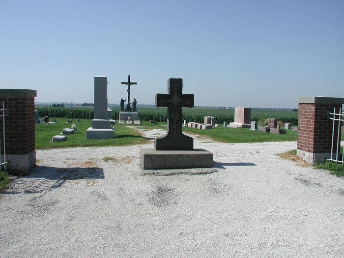
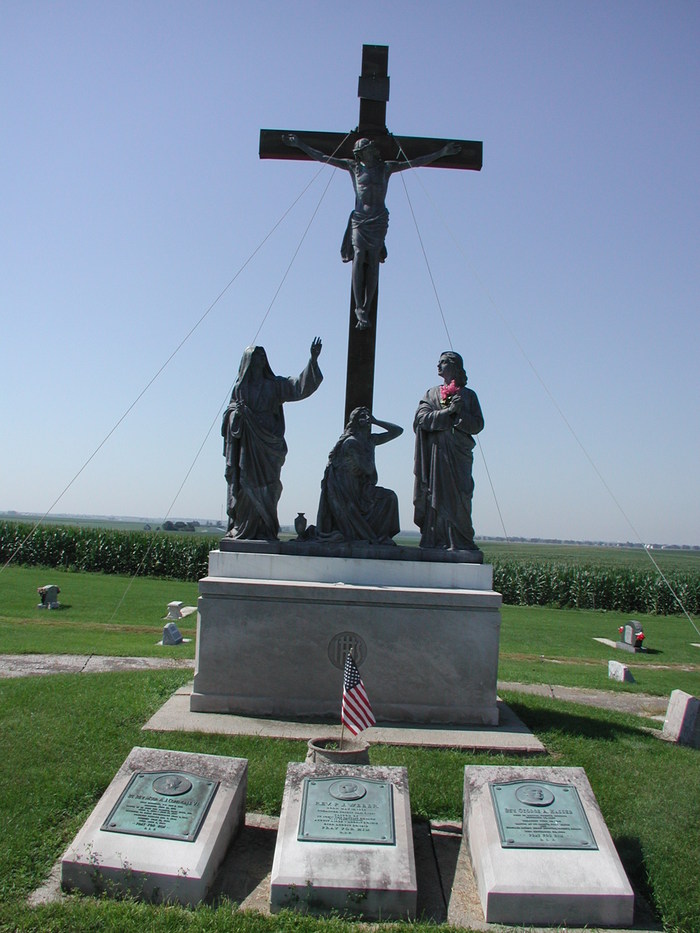
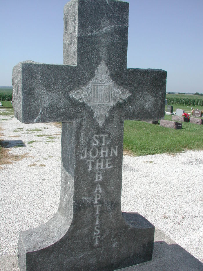
| Description | : | Cemetery notes: Saint John the Baptist cemetery is on the south side of the road, across from both Earl Park & Sumner Cemetery. The cemetery is located in Richland Township (N half of the SE quadrant of the NE quadrant of Section 27 Township 26N Range 9W) on the south side of County Road 475 N about 0.1 miles west of its intersection with N County Road 500 W. Indiana Cemetery Locations, Volume 3, published by the Indiana Genealogical Society (April 2007), gives the primary cemetery name as Saint John the Baptist Cemetery with an alternate... Read More |
frequently asked questions (FAQ):
-
Where is Saint John the Baptist Cemetery?
Saint John the Baptist Cemetery is located at County Road 475 N Earl Park, Benton County ,Indiana , 47942USA.
-
Saint John the Baptist Cemetery cemetery's updated grave count on graveviews.com?
0 memorials
-
Where are the coordinates of the Saint John the Baptist Cemetery?
Latitude: 40.6747017
Longitude: -87.4222031
Nearby Cemetories:
1. Sumner Cemetery
Earl Park, Benton County, USA
Coordinate: 40.6753883, -87.4227905
2. Earl Park Cemetery
Earl Park, Benton County, USA
Coordinate: 40.6755981, -87.4225006
3. Robertson Cemetery (Defunct)
Dunnington, Benton County, USA
Coordinate: 40.6503270, -87.3810730
4. Blue Ridge Cemetery
Raub, Benton County, USA
Coordinate: 40.6932983, -87.5008011
5. Dehner Cemetery
Earl Park, Benton County, USA
Coordinate: 40.7219009, -87.3632965
6. Saint Josephs Cemetery
Kentland, Newton County, USA
Coordinate: 40.7514310, -87.4465640
7. Fairlawn Cemetery
Kentland, Newton County, USA
Coordinate: 40.7522011, -87.4436035
8. Fleming Cemetery
Benton County, USA
Coordinate: 40.7225880, -87.5198900
9. Fowler Cemetery
Fowler, Benton County, USA
Coordinate: 40.6086731, -87.3342514
10. Sacred Heart Cemetery
Fowler, Benton County, USA
Coordinate: 40.6075516, -87.3341980
11. Saint Marys Catholic Church Cemetery
Dunnington, Benton County, USA
Coordinate: 40.5646439, -87.4910736
12. Sheldon Cemetery
Sheldon, Iroquois County, USA
Coordinate: 40.7616997, -87.5633011
13. Mount Calvary Cemetery
Goodland, Newton County, USA
Coordinate: 40.7733002, -87.2861023
14. Goodland Cemetery
Goodland, Newton County, USA
Coordinate: 40.7757988, -87.2874985
15. Pleasant Grove Cemetery
Newton County, USA
Coordinate: 40.8210983, -87.4364014
16. Doran Cemetery
Kentland, Newton County, USA
Coordinate: 40.8194008, -87.4916992
17. Totheroh Cemetery
Boswell, Benton County, USA
Coordinate: 40.5353012, -87.5141983
18. Benton County Poor Farm Cemetery
Center Township, Benton County, USA
Coordinate: 40.5841904, -87.2491302
19. Boswell Cemetery
Boswell, Benton County, USA
Coordinate: 40.5200005, -87.3700027
20. Sugar Creek Cemetery
Stockland, Iroquois County, USA
Coordinate: 40.6253014, -87.6358032
21. Buswell Cemetery
Kentland, Newton County, USA
Coordinate: 40.8372800, -87.4858200
22. Niesz Cemetery
Brook, Newton County, USA
Coordinate: 40.8364000, -87.3445000
23. Montgomery Cemetery
Brook, Newton County, USA
Coordinate: 40.8392410, -87.3444170
24. Perigo Cemetery
Chase, Benton County, USA
Coordinate: 40.5094330, -87.3456730