| Memorials | : | 1 |
| Location | : | Bunker Hill, Macoupin County, USA |
| Coordinate | : | 39.0032997, -89.9171982 |
| Description | : | Directions: From Bunker Hill, going south on IL 159 about 1 to 1/2 miles and turn left onto Catholic Springs Road. There is a blue water tower on the west side of the highway. The road on west side that goes directly in front of the tower is called Moulton Road. Once on Catholic Springs Road go about 2 to 2-1/2 miles to first crossroads (Prairietown Road). Cross over and continued to go about 1/4 to 1/2 mile and cemetery will be on right side. If traveling north on IL 159 towards Bunker Hill, then Catholic... Read More |
frequently asked questions (FAQ):
-
Where is Saint Marys Cemetery?
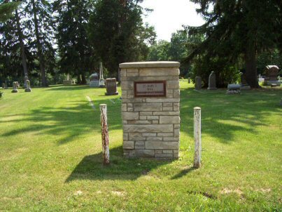
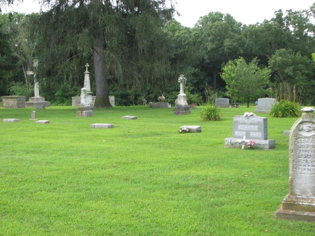
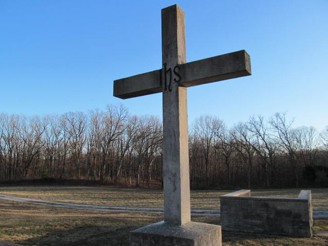
Saint Marys Cemetery is located at Catholic Springs Road Bunker Hill, Macoupin County ,Illinois , 62014USA.
-
Saint Marys Cemetery cemetery's updated grave count on graveviews.com?
1 memorials
-
Where are the coordinates of the Saint Marys Cemetery?
Latitude: 39.0032997
Longitude: -89.9171982
Nearby Cemetories:
1. Goodnight Gravesite
Bunker Hill, Macoupin County, USA
Coordinate: 39.0077800, -89.9369570
2. Wieseman Cemetery
Madison County, USA
Coordinate: 38.9743996, -89.9113998
3. Hand Cemetery
Dorchester, Macoupin County, USA
Coordinate: 39.0024986, -89.8758011
4. Saint Peter's Cemetery
Prairietown, Madison County, USA
Coordinate: 38.9639400, -89.9278800
5. Prairietown Cemetery
Prairietown, Madison County, USA
Coordinate: 38.9639015, -89.9278030
6. Bunker Hill Cemetery
Bunker Hill, Macoupin County, USA
Coordinate: 39.0417000, -89.9425000
7. Funderburk Cemetery
Macoupin County, USA
Coordinate: 39.0057983, -89.8563995
8. Friedrich Meyer Cemetery
Prairietown, Madison County, USA
Coordinate: 38.9533005, -89.8936005
9. Zimmerman Cemetery
Madison County, USA
Coordinate: 38.9925003, -89.9882965
10. McGaughey Cemetery
Madison County, USA
Coordinate: 38.9839363, -89.8437119
11. Randle Cemetery
Madison County, USA
Coordinate: 38.9491997, -89.8827972
12. Ridgely Cemetery
Prairietown, Madison County, USA
Coordinate: 38.9570999, -89.9688034
13. Omphghent Burying Ground
Prairietown, Madison County, USA
Coordinate: 38.9336433, -89.9097061
14. Belk Cemetery
Madison County, USA
Coordinate: 38.9333000, -89.9150009
15. Wayne Cemetery
Dorchester, Macoupin County, USA
Coordinate: 39.0661100, -89.8761100
16. Sandrach Cemetery
Worden, Madison County, USA
Coordinate: 38.9522018, -89.8506012
17. Cooper Cemetery
Prairietown, Madison County, USA
Coordinate: 38.9421997, -89.9685974
18. Emmaus Lutheran Church Cemetery
Dorsey, Madison County, USA
Coordinate: 38.9858850, -90.0194640
19. Luken Cemetery
Dorchester, Macoupin County, USA
Coordinate: 39.0847015, -89.9231033
20. Saint John United Church of Christ Cemetery
Midway, Madison County, USA
Coordinate: 38.9308014, -89.9672012
21. Tine Sawyer Cemetery
Wilsonville, Macoupin County, USA
Coordinate: 39.0572014, -89.8339005
22. Woodburn Cemetery
Woodburn, Macoupin County, USA
Coordinate: 39.0430565, -90.0149994
23. Worden Village Cemetery
Worden, Madison County, USA
Coordinate: 38.9394600, -89.8425700
24. Wood Cemetery
Macoupin County, USA
Coordinate: 39.0135990, -90.0281410


