
| Memorials | : | 0 |
| Location | : | Tucson, Pima County, USA |
| Coordinate | : | 32.2111600, -110.7998000 |
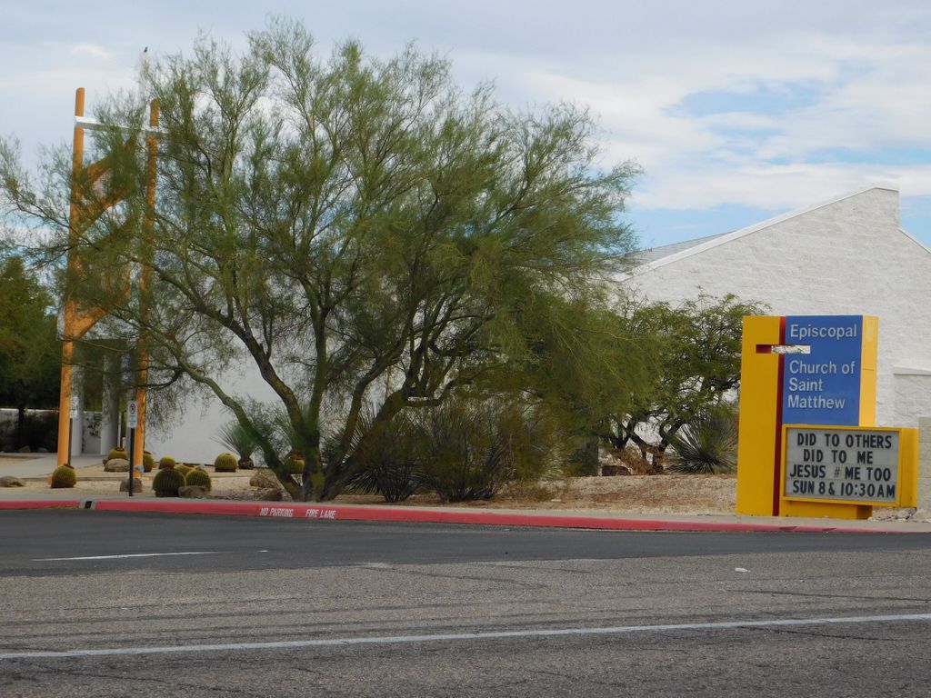
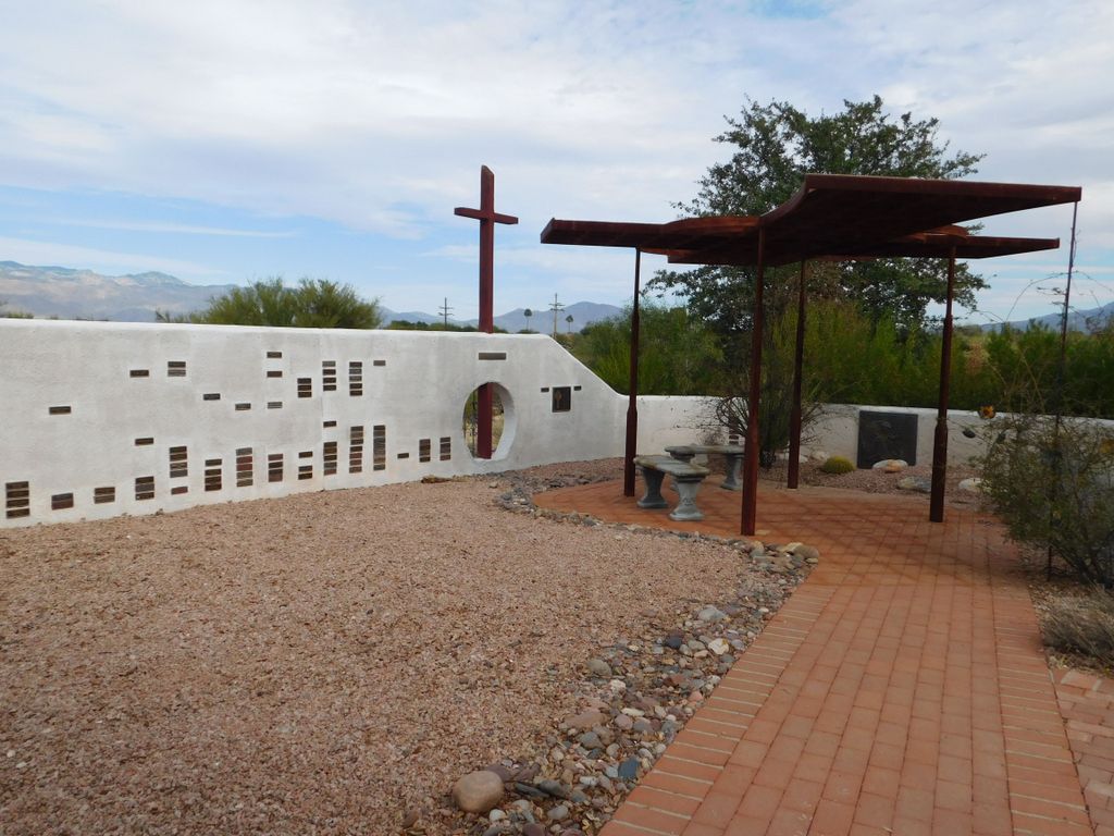
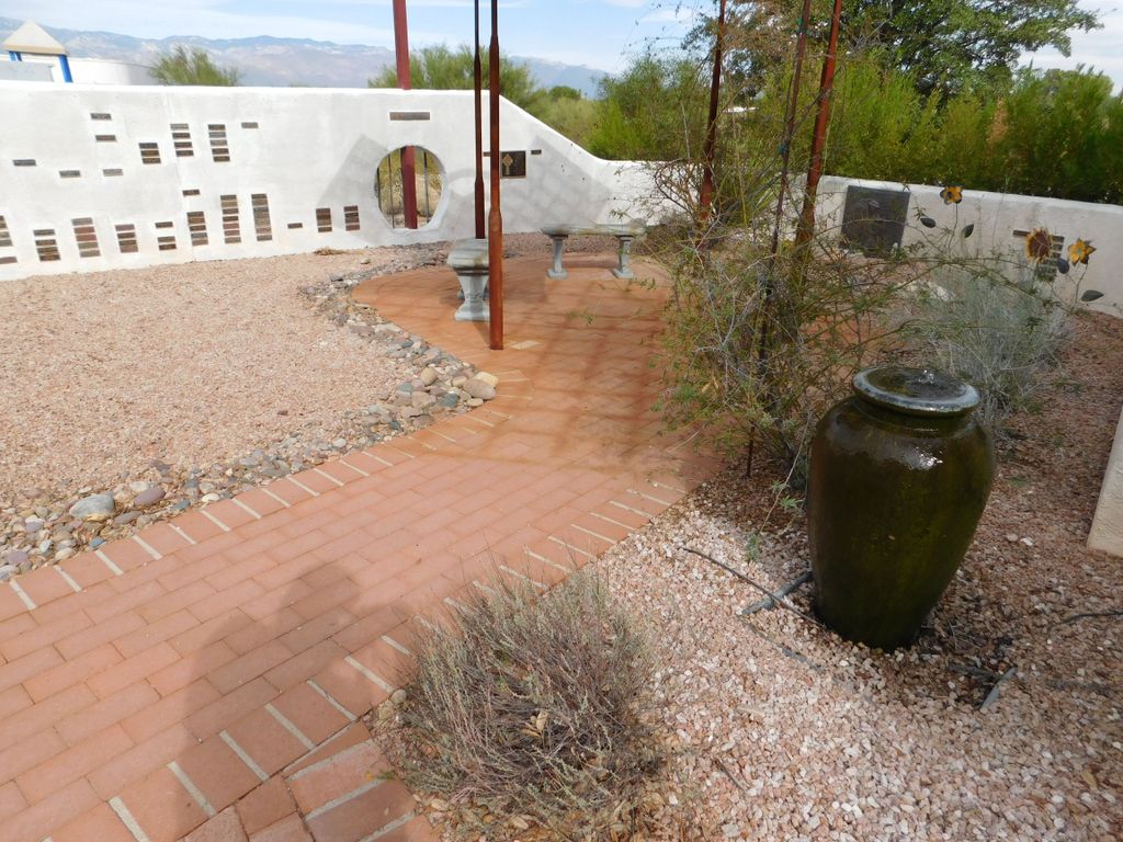
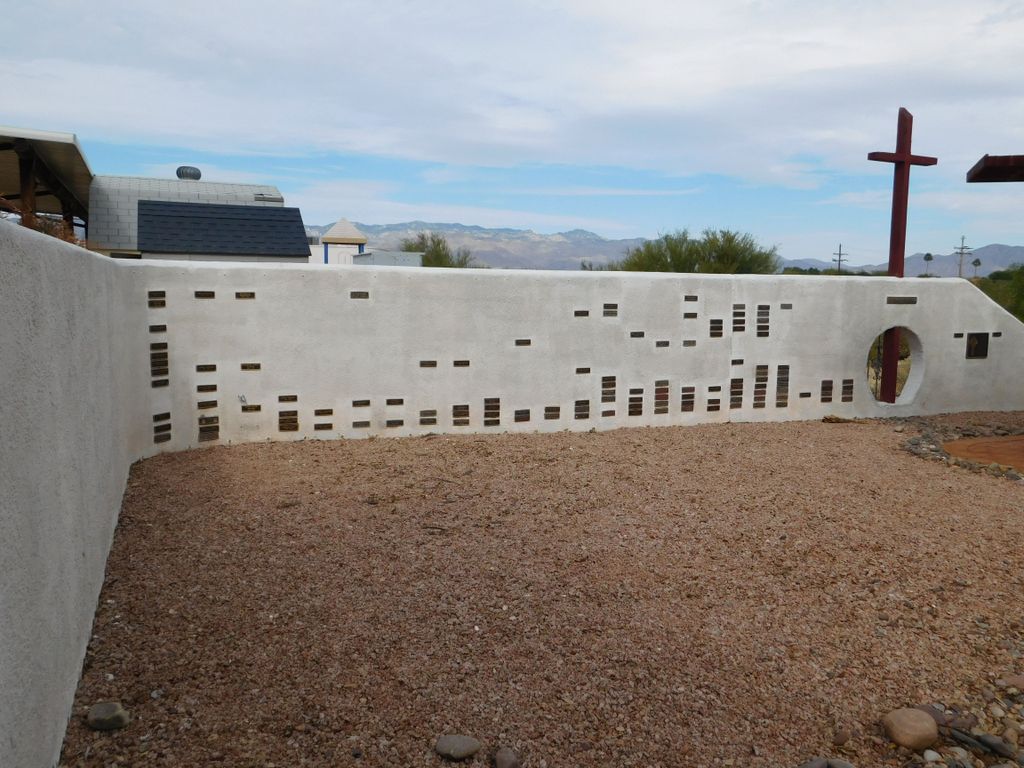
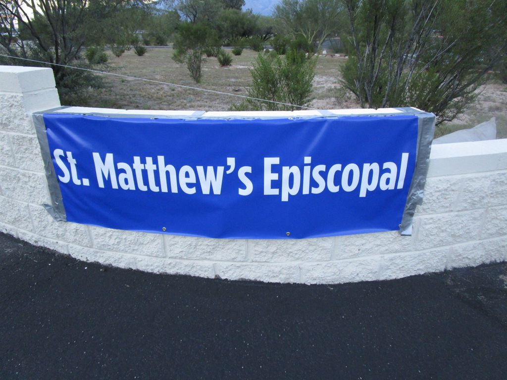
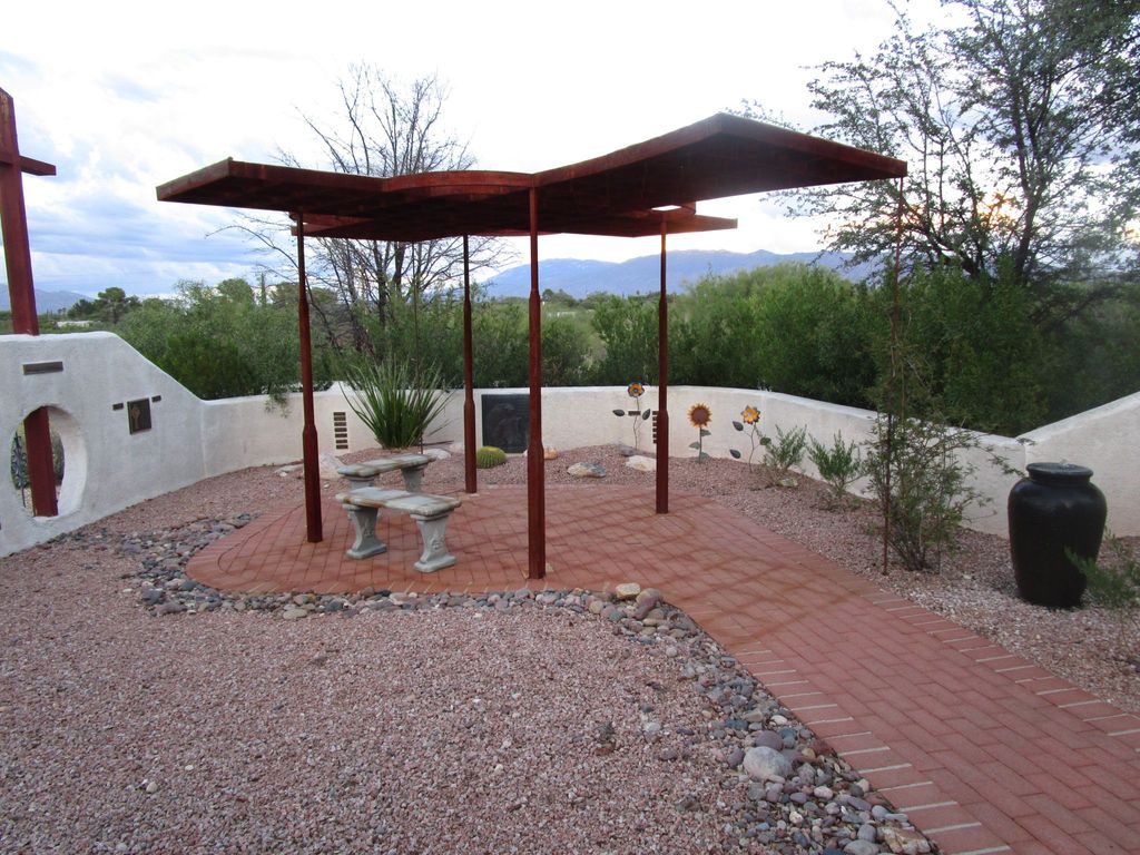
| Description | : | Memorial Garden of the Episcopal Church of St. Matthew 9071 East Old Spanish Trail Tucson, AZ 85710 (520) 298-9782 |
frequently asked questions (FAQ):
-
Where is Saint Matthew Episcopal Church Memorial Garden?
Saint Matthew Episcopal Church Memorial Garden is located at Tucson, Pima County ,Arizona ,USA.
-
Saint Matthew Episcopal Church Memorial Garden cemetery's updated grave count on graveviews.com?
0 memorials
-
Where are the coordinates of the Saint Matthew Episcopal Church Memorial Garden?
Latitude: 32.2111600
Longitude: -110.7998000
Nearby Cemetories:
1. Immanuel Presbyterian Church Memorial Garden
Tucson, Pima County, USA
Coordinate: 32.2055930, -110.7948940
2. New Spirit Lutheran Church Columbarium
Tucson, Pima County, USA
Coordinate: 32.2167690, -110.8054810
3. Saguaro Christian Church Memorial Garden
Tucson, Pima County, USA
Coordinate: 32.2202400, -110.8148300
4. Saint Pauls Memorial Garden
Tucson, Pima County, USA
Coordinate: 32.2218020, -110.8207650
5. Fountain of Life Lutheran Church Columbarium
Tucson, Pima County, USA
Coordinate: 32.2122730, -110.8418410
6. All Faiths Memorial Park
Tucson, Pima County, USA
Coordinate: 32.1958008, -110.7596970
7. Christ Presbyterian Church Memorial Garden
Tucson, Pima County, USA
Coordinate: 32.2214500, -110.8529200
8. Tanque Verde Lutheran Church Columbarium
Tucson, Pima County, USA
Coordinate: 32.2603140, -110.8068040
9. Saint Michael and All Angels Episc. Church Garden
Tucson, Pima County, USA
Coordinate: 32.2293400, -110.8569500
10. Tanque Verde Cemetery
Tanque Verde, Pima County, USA
Coordinate: 32.2391777, -110.7361984
11. Rincon Congregational Church Columbarium
Tucson, Pima County, USA
Coordinate: 32.2241880, -110.8749300
12. Christ Church United Methodist Memorial Garden
Tucson, Pima County, USA
Coordinate: 32.2304100, -110.8757900
13. East Lawn Palms Cemetery and Mortuary
Tucson, Pima County, USA
Coordinate: 32.2543983, -110.8668976
14. Saint Albans Episcopal Church Columbarium
Tucson, Pima County, USA
Coordinate: 32.2754600, -110.8381400
15. Pet Cemetery of Tucson
Tucson, Pima County, USA
Coordinate: 32.2549900, -110.8705500
16. Firemans Cemetery
Tucson, Pima County, USA
Coordinate: 32.1436410, -110.8506770
17. Fort Lowell Cemetery
Tucson, Pima County, USA
Coordinate: 32.2616000, -110.8961000
18. Saint Marks Presbyterian Church Cemetery
Tucson, Pima County, USA
Coordinate: 32.2330170, -110.9119560
19. Tanque Verde Ranch Cemetery
Tucson, Pima County, USA
Coordinate: 32.2408218, -110.6870422
20. Lutheran Church of the Foothills Memorial Garden
Tucson, Pima County, USA
Coordinate: 32.2993800, -110.8748650
21. Catalina United Methodist Church Memorial Garden
Tucson, Pima County, USA
Coordinate: 32.2350650, -110.9313480
22. Binghampton Cemetery
Tucson, Pima County, USA
Coordinate: 32.2797012, -110.9100037
23. Rincon Cemetery
Tucson, Pima County, USA
Coordinate: 32.1216660, -110.7129974
24. Grace Saint Pauls Memorial Garden
Tucson, Pima County, USA
Coordinate: 32.2409000, -110.9370000