
| Memorials | : | 177 |
| Location | : | Elwood, Gosper County, USA |
| Coordinate | : | 40.3519000, -99.9630000 |
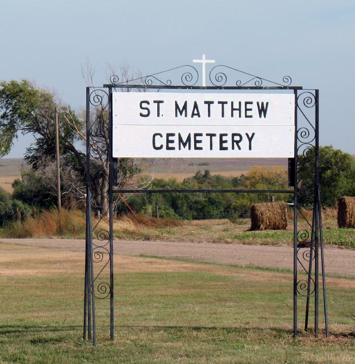
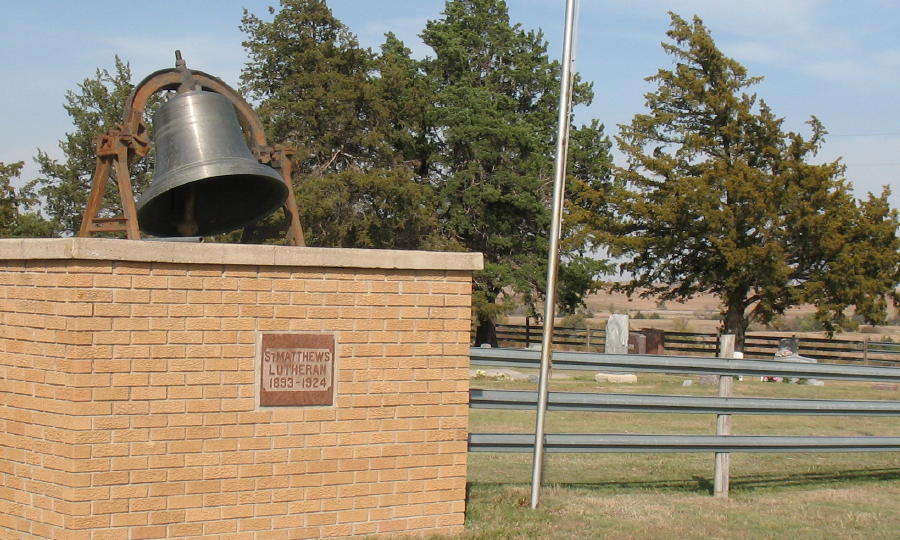
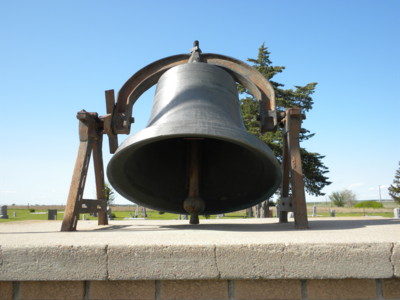
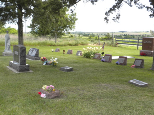
| Description | : | St. Matthew Lutheran Cemetery is located along the Gosper, Furnas county line, in southern Gosper County Nebraska. The original 1st Saint Matthews church (1889 - 1924) as well as a newer, larger church (1924 - 1971) both have been torn down and no longer exist. However; a beautiful, 100+ year old cedar tree lined cemetery remains. This family cemetery marks the lives and final resting place of my husbands Ancestors. Please make note: there is a seperate listing for St. Matthew; Arapahoe, Furnas County that you may want to research as well. God's Blessings; Ronda Hilker, August 2010. |
frequently asked questions (FAQ):
-
Where is Saint Matthew Lutheran Cemetery?
Saint Matthew Lutheran Cemetery is located at Elwood, Gosper County ,Nebraska ,USA.
-
Saint Matthew Lutheran Cemetery cemetery's updated grave count on graveviews.com?
177 memorials
-
Where are the coordinates of the Saint Matthew Lutheran Cemetery?
Latitude: 40.3519000
Longitude: -99.9630000
Nearby Cemetories:
1. Holbrook Cemetery
Holbrook, Furnas County, USA
Coordinate: 40.3138000, -100.0045000
2. Arapahoe Cemetery
Arapahoe, Furnas County, USA
Coordinate: 40.3239600, -99.8985500
3. Miller Cemetery
Elwood, Gosper County, USA
Coordinate: 40.3514980, -100.0374350
4. Norwegian Lutheran Cemetery
Holbrook, Furnas County, USA
Coordinate: 40.3380910, -100.0425560
5. East Muddy Cemetery
Gosper County, USA
Coordinate: 40.4166985, -99.9614029
6. Immanuel Lutheran Cemetery
Elwood, Gosper County, USA
Coordinate: 40.4206500, -99.8672000
7. McGuire Cemetery
Gosper County, USA
Coordinate: 40.4380989, -99.8664017
8. Garfield Cemetery
Furnas County, USA
Coordinate: 40.2491989, -99.8992004
9. Pleasant Grove Cemetery
Gosper County, USA
Coordinate: 40.4664001, -99.9250031
10. Homerville Cemetery
Gosper County, USA
Coordinate: 40.4668999, -99.8593979
11. Edison Cemetery
Edison, Furnas County, USA
Coordinate: 40.2919006, -99.7902985
12. Salem East Cemetery
Gosper County, USA
Coordinate: 40.4972000, -99.9803009
13. Salem West Cemetery
Frontier County, USA
Coordinate: 40.4968987, -99.9886017
14. Pleasantview Cemetery
Arapahoe, Furnas County, USA
Coordinate: 40.2043991, -99.9669037
15. Stump Cemetery
Furnas County, USA
Coordinate: 40.3478012, -99.7621994
16. Stowe Cemetery
Stockville, Frontier County, USA
Coordinate: 40.4900017, -100.0753021
17. Saint John's Catholic Cemetery
Cambridge, Furnas County, USA
Coordinate: 40.2850000, -100.1817000
18. Fairview Cemetery
Cambridge, Furnas County, USA
Coordinate: 40.2849998, -100.1817017
19. Highland Union Cemetery
Gosper County, USA
Coordinate: 40.3513990, -99.7172360
20. Fairfield Cemetery
Gosper County, USA
Coordinate: 40.4672012, -99.7549973
21. Denny Cemetery
Frontier County, USA
Coordinate: 40.4393997, -100.2082977
22. Zion Cemetery
Gosper County, USA
Coordinate: 40.4085999, -99.7005997
23. Hammond Cemetery
Frontier County, USA
Coordinate: 40.4002953, -100.2353134
24. Evergreen Cemetery
Frontier County, USA
Coordinate: 40.5689011, -100.0571976