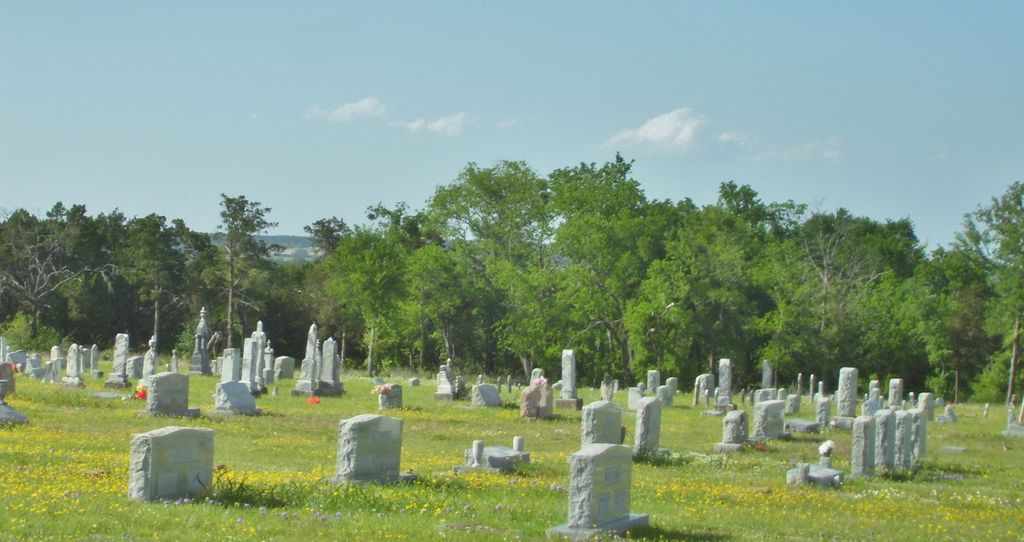
| Memorials | : | 2 |
| Location | : | Cranfills Gap, Bosque County, USA |
| Coordinate | : | 31.7922180, -97.7738100 |
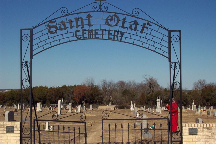
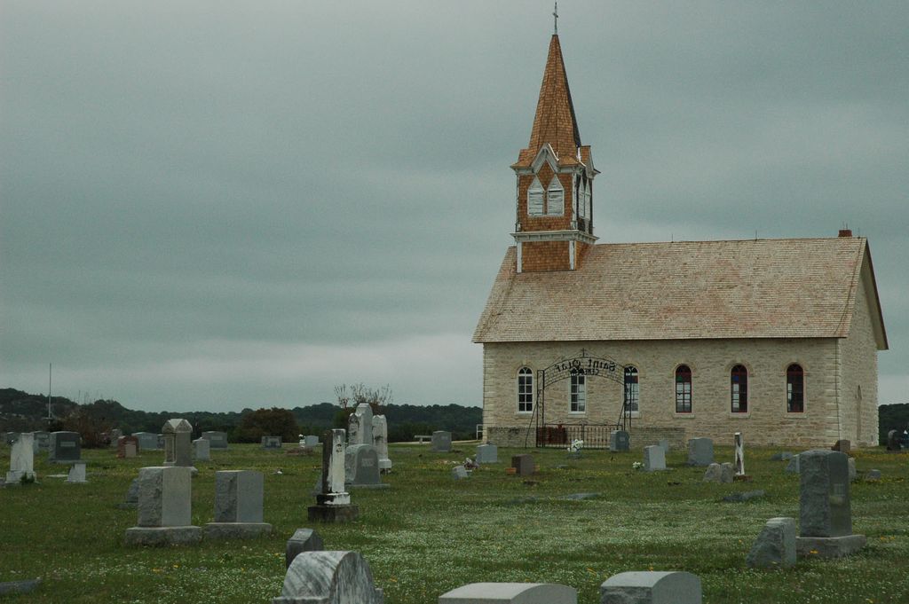
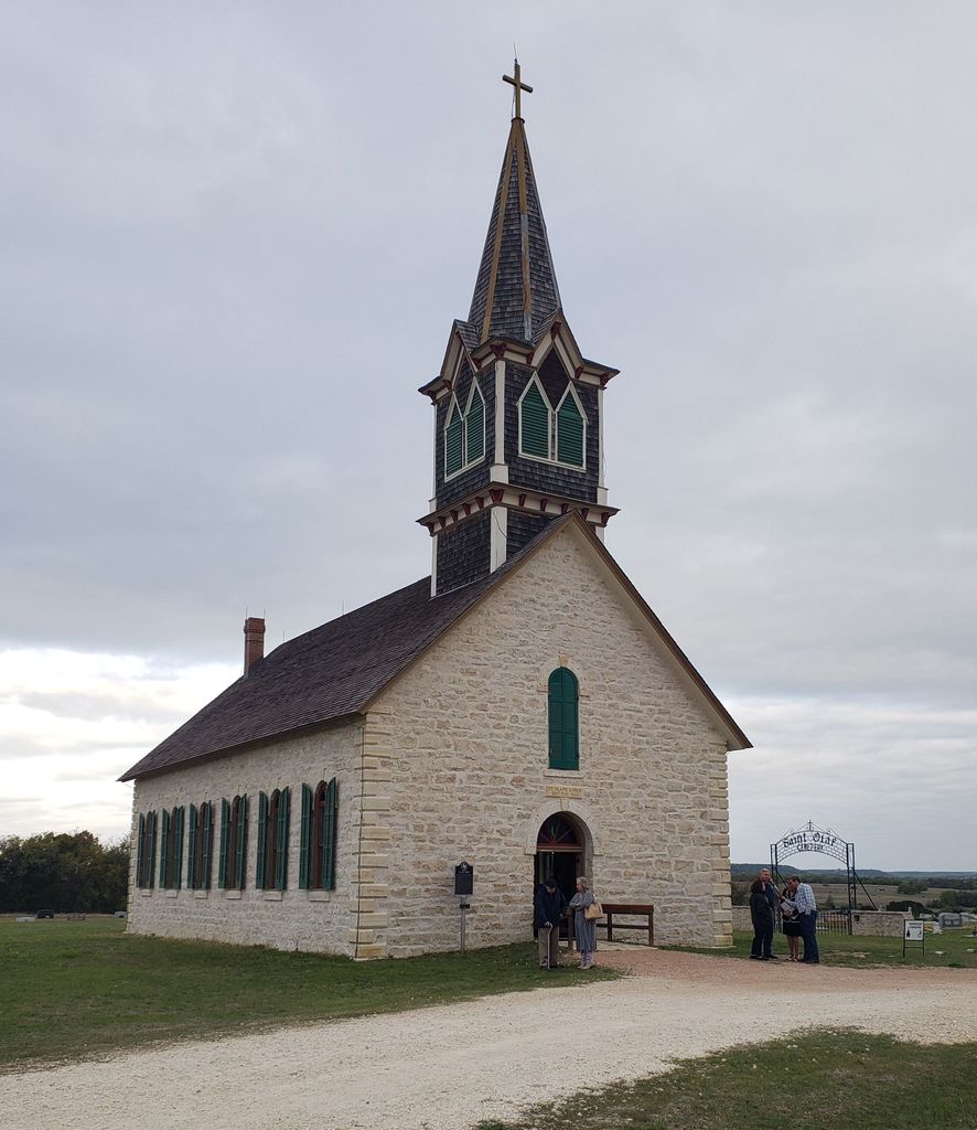
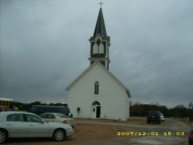
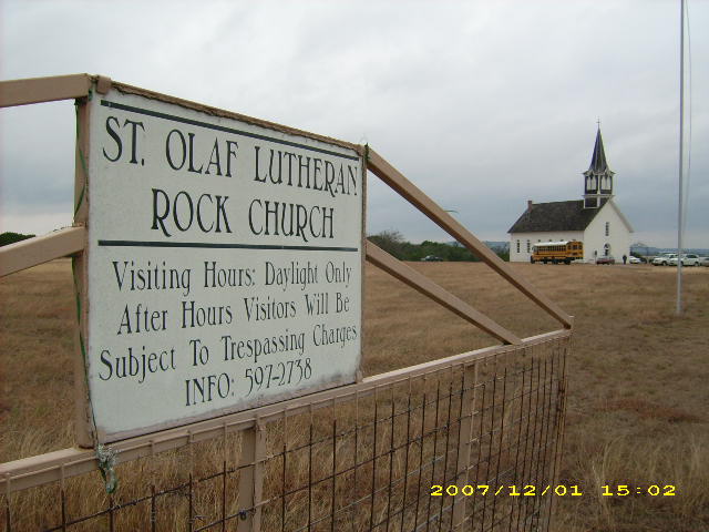
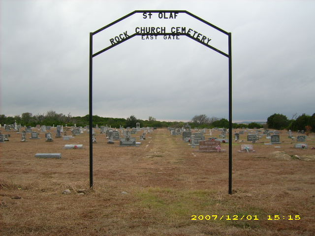
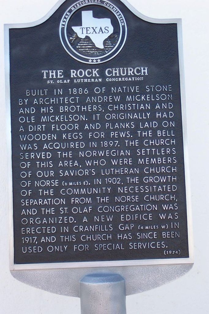
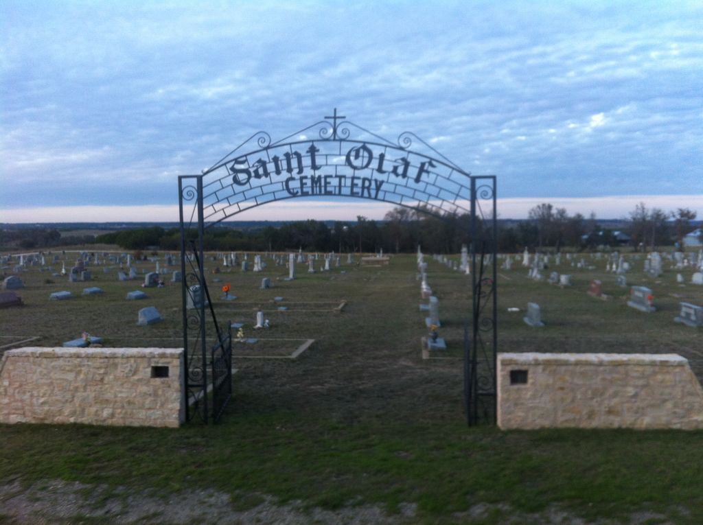
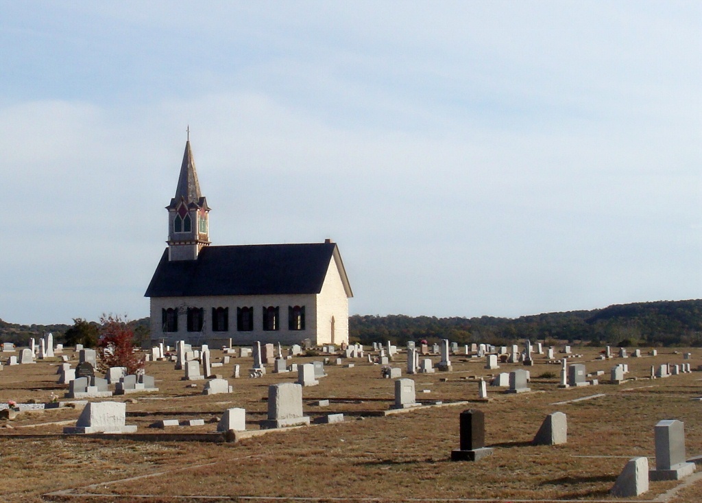
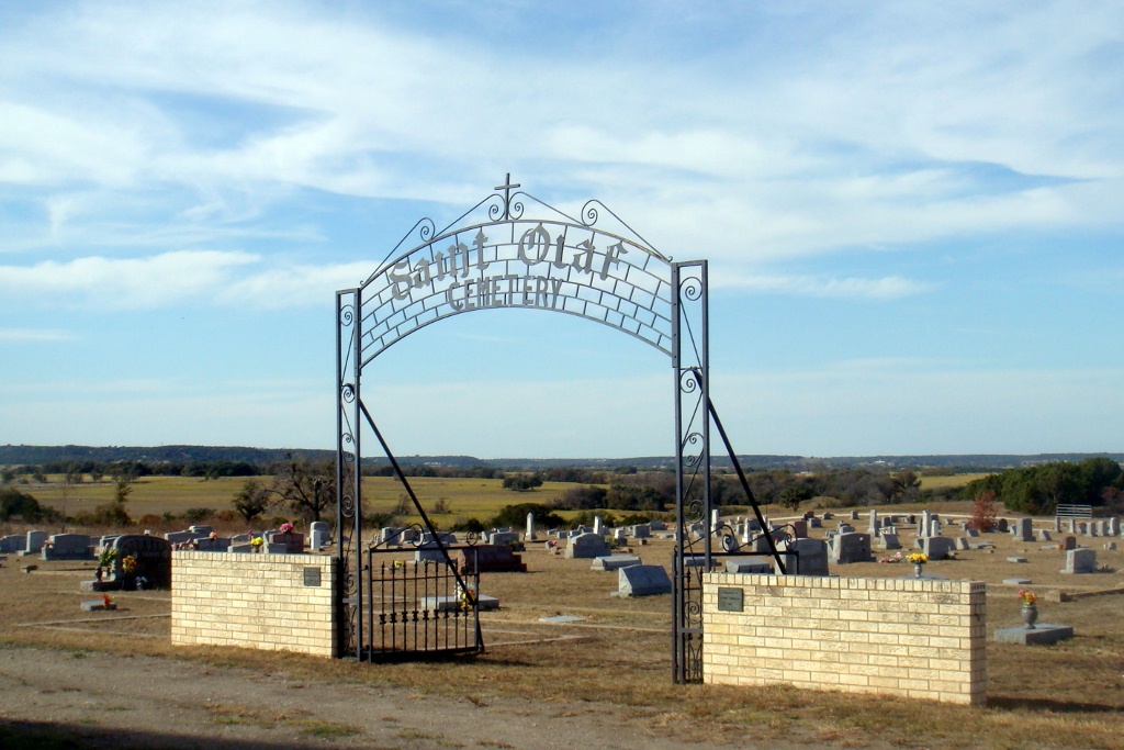
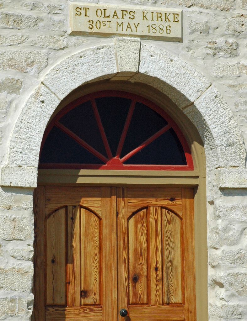
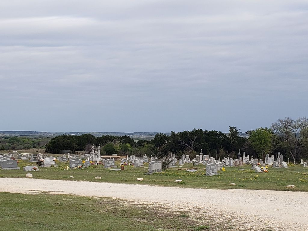
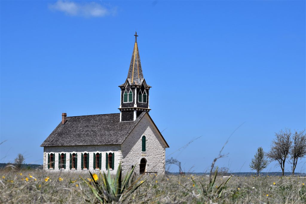
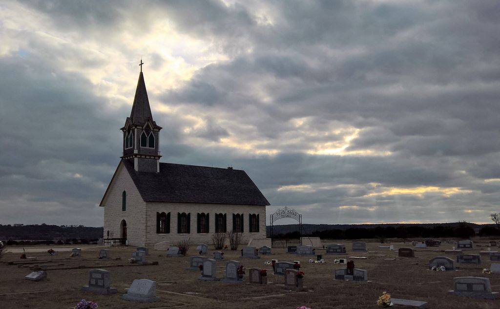
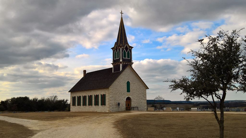
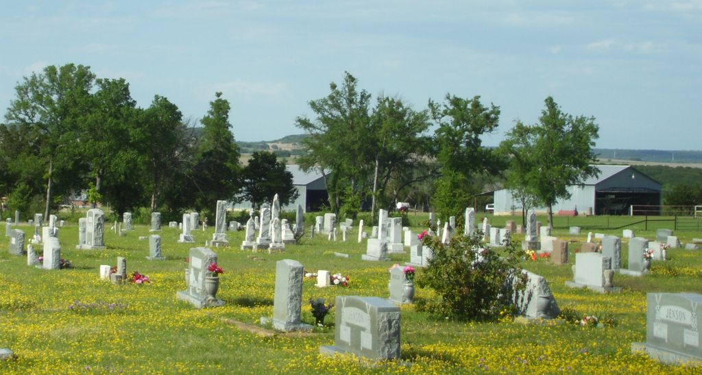
| Description | : | Driving directions: From intersection of TX 22 and 3rd Street in Cranfills Gap, drive north 0.4 mile on TX 22, turn right on CR 4145and drive 3.4 mile to Saint Olaf Lutheran Rock Church (on left); cemetery is beside and north of the church and easily seen. Short history: Saint Olaf Lutheran Kirke (Rock Church) was built by hand from stone dug from nearby Swenson Mountain near Gary Creek and hauled by wagon to the present hilltop site by volunteers of the Norwegian community. The church is basically the same today as it was when it was built and first services held in... Read More |
frequently asked questions (FAQ):
-
Where is Saint Olaf Cemetery?
Saint Olaf Cemetery is located at FMR 4145 Cranfills Gap, Bosque County ,Texas , 76637USA.
-
Saint Olaf Cemetery cemetery's updated grave count on graveviews.com?
2 memorials
-
Where are the coordinates of the Saint Olaf Cemetery?
Latitude: 31.7922180
Longitude: -97.7738100
Nearby Cemetories:
1. Evans Family Cemetery
Cranfills Gap, Bosque County, USA
Coordinate: 31.7930550, -97.7219580
2. Parks Family Cemetery
Cranfills Gap, Bosque County, USA
Coordinate: 31.8298170, -97.7270500
3. Cranfill Family Cemetery
Cranfills Gap, Bosque County, USA
Coordinate: 31.7836080, -97.8394420
4. Cox-Burton Graves
Hamilton County, USA
Coordinate: 31.7730999, -97.8386002
5. Bruton-Cox Graves
Bosque County, USA
Coordinate: 31.7675540, -97.8378960
6. Cranfills Gap Cemetery
Hamilton County, USA
Coordinate: 31.7670500, -97.8385500
7. Tucker Gravesite
Cranfills Gap, Bosque County, USA
Coordinate: 31.8344500, -97.8283700
8. Kidd Thompson Cemetery
Hamilton County, USA
Coordinate: 31.7922001, -97.8506012
9. Cove Springs Cemetery
Bosque County, USA
Coordinate: 31.8577310, -97.7622400
10. Boggy Cemetery
Cranfills Gap, Bosque County, USA
Coordinate: 31.7259000, -97.7583270
11. Daniel-Harding Graves
Bosque County, USA
Coordinate: 31.8633400, -97.7598000
12. Our Savior's Lutheran Cemetery
Norse, Bosque County, USA
Coordinate: 31.7722321, -97.6781006
13. Greene Family Cemetery
Norse, Bosque County, USA
Coordinate: 31.7716520, -97.6777880
14. Norse Seventh-Day Adventist Church Cemetery
Clifton, Bosque County, USA
Coordinate: 31.7910330, -97.6710500
15. German Valley Cemetery
Hamilton County, USA
Coordinate: 31.6917000, -97.8274994
16. Spring Creek Cemetery
Iredell, Bosque County, USA
Coordinate: 31.8971195, -97.8277283
17. Prairie View Cemetery
Coryell County, USA
Coordinate: 31.6706009, -97.7386017
18. Viertel Cemetery
Hamilton County, USA
Coordinate: 31.7341995, -97.9143982
19. Brummett Family Cemetery
Fairy, Hamilton County, USA
Coordinate: 31.7899270, -97.9326370
20. Norway Mills Cemetery
Bosque County, USA
Coordinate: 31.6977997, -97.6564026
21. Rainey Cemetery
Hurst Springs, Coryell County, USA
Coordinate: 31.6570111, -97.6860333
22. Lanham Cemetery
Lanham, Hamilton County, USA
Coordinate: 31.7529760, -97.9539990
23. Boone - Dollins Cemetery
Turnersville, Coryell County, USA
Coordinate: 31.6321180, -97.7602100
24. Seljos Gravesite
Clifton, Bosque County, USA
Coordinate: 31.7442330, -97.5929670

