| Memorials | : | 383 |
| Location | : | Gage County, USA |
| Coordinate | : | 40.4186330, -96.8187780 |
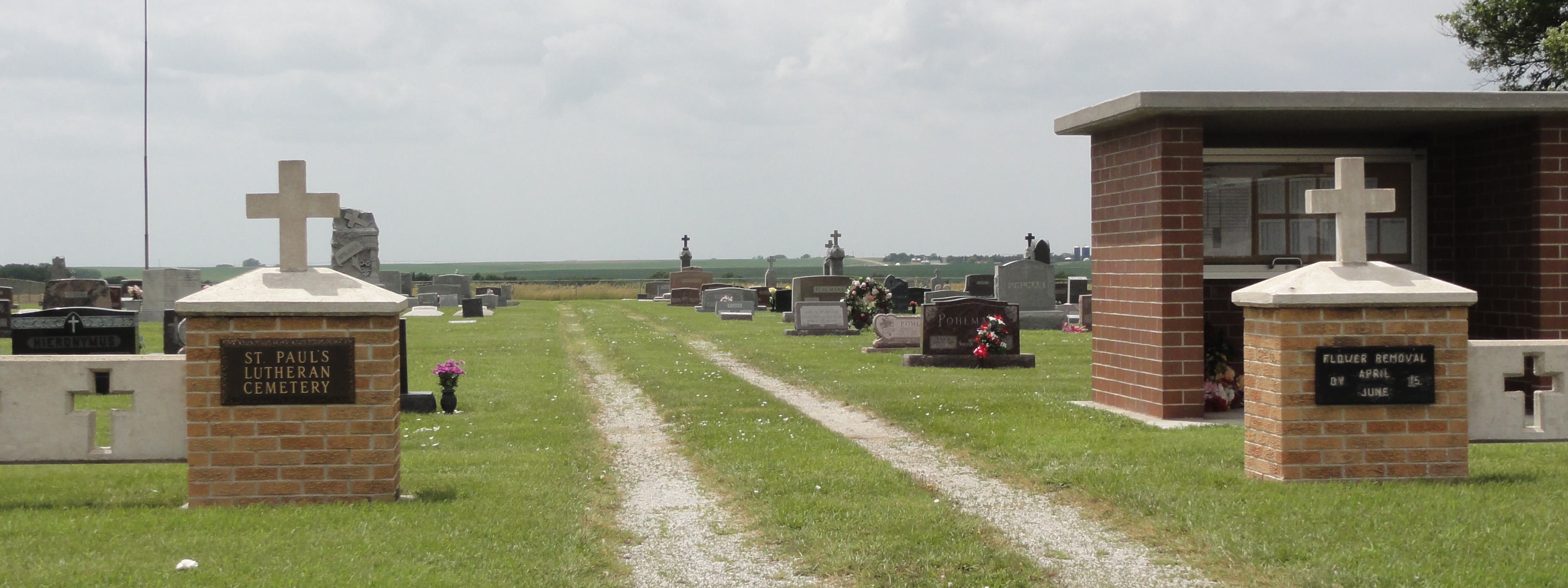
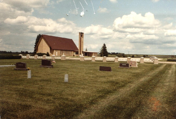
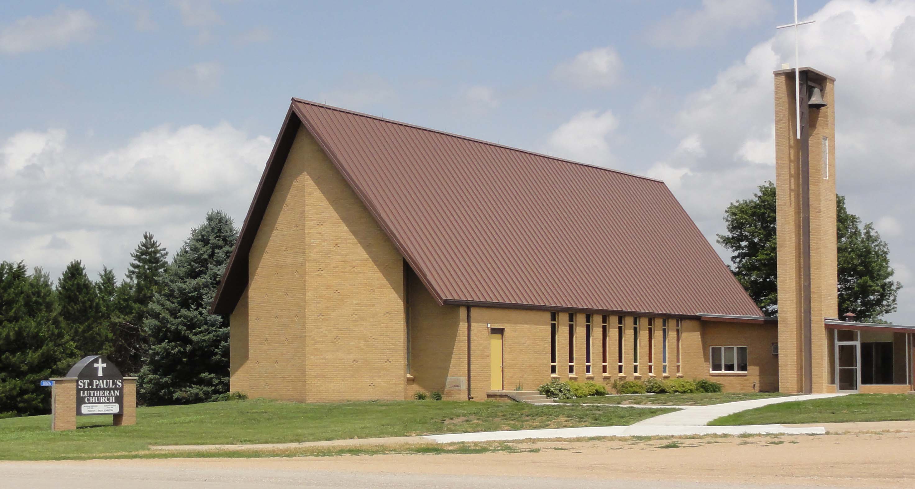
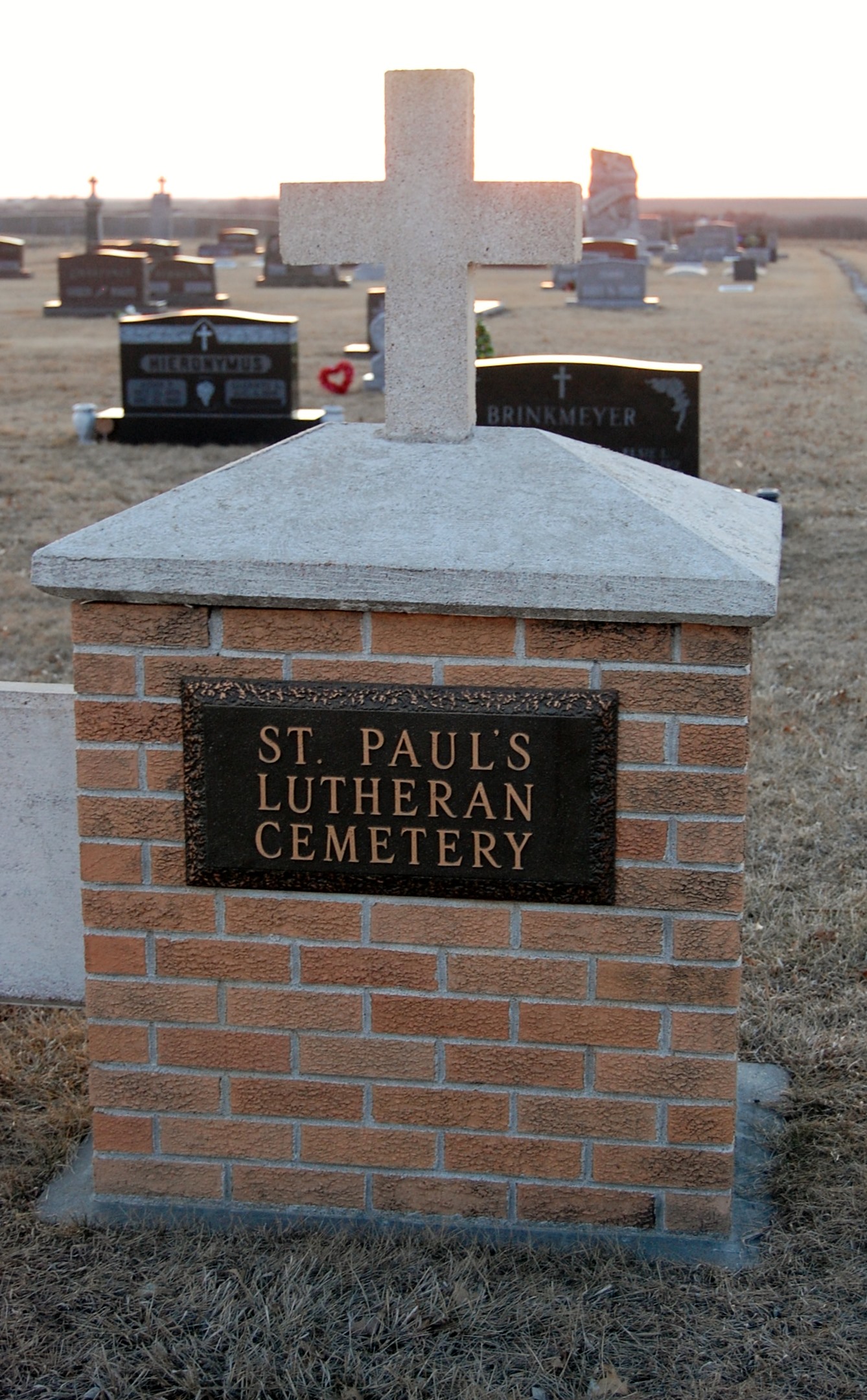
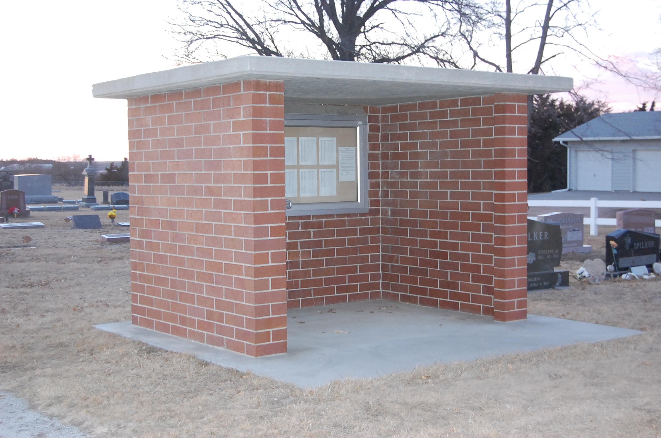
| Description | : | St. Paul's Lutheran Church Cemetery was also known as Soap Creek Cemetery. Early church records written in German go back to 1883. The church and cemetery are located in Section 11 of Gage Co. NE three miles south, two east and 1/4 miles south of Clatonia. Claus Siems was among the earliest members of the St.Paul Lutheran Church founded in 1884 in Gage County near the town of DeWitt which is in Saline County. This first structure was only 18 x 26 feet, and was replaced in 1891 by one 32x56, which burned when struck by lightening in 1896. From the... Read More |
frequently asked questions (FAQ):
-
Where is Saint Paul's Lutheran Cemetery?
Saint Paul's Lutheran Cemetery is located at Gage County ,Nebraska ,USA.
-
Saint Paul's Lutheran Cemetery cemetery's updated grave count on graveviews.com?
3 memorials
-
Where are the coordinates of the Saint Paul's Lutheran Cemetery?
Latitude: 40.4186330
Longitude: -96.8187780
Nearby Cemetories:
1. Rose Hill Cemetery
Gage County, USA
Coordinate: 40.3936005, -96.8553009
2. Clatonia Cemetery
Clatonia, Gage County, USA
Coordinate: 40.4614500, -96.8556600
3. Zion Evangelical Lutheran Cemetery
Clatonia, Gage County, USA
Coordinate: 40.4666910, -96.8749310
4. Highland Center Cemetery
Cortland, Gage County, USA
Coordinate: 40.4660988, -96.7611008
5. Trinity Cemetery
Clatonia, Gage County, USA
Coordinate: 40.4508018, -96.8936005
6. Marsh Cemetery
Clatonia, Gage County, USA
Coordinate: 40.4867230, -96.8185310
7. Sykes Family Cemetery
Clatonia, Gage County, USA
Coordinate: 40.4868330, -96.8186260
8. Dolen Cemetery
Gage County, USA
Coordinate: 40.3494950, -96.8225930
9. Immanuel Cemetery
Gage County, USA
Coordinate: 40.5088005, -96.8133011
10. Oak Grove Cemetery
De Witt, Saline County, USA
Coordinate: 40.4049988, -96.9483032
11. Christ Lutheran Church Cemetery
Pickrell, Gage County, USA
Coordinate: 40.4079410, -96.6848370
12. Pleasant View Cemetery
Pickrell, Gage County, USA
Coordinate: 40.3493240, -96.7101000
13. Cortland Cemetery
Cortland, Gage County, USA
Coordinate: 40.4879200, -96.7041250
14. Saint James Cemetery
Cortland, Gage County, USA
Coordinate: 40.4886050, -96.7036050
15. Austin Creek Cemetery
Beatrice, Gage County, USA
Coordinate: 40.3282280, -96.7233020
16. First Trinity Lutheran Cemetery
Beatrice, Gage County, USA
Coordinate: 40.3053600, -96.8794400
17. Freeman Cemetery
Beatrice, Gage County, USA
Coordinate: 40.2966933, -96.8435666
18. Hallam Community Cemetery
Hallam, Lancaster County, USA
Coordinate: 40.5419006, -96.7885971
19. Saint Joseph Cemetery
Beatrice, Gage County, USA
Coordinate: 40.3054700, -96.7460700
20. Homestead National Historical Park
Beatrice, Gage County, USA
Coordinate: 40.2864800, -96.8271100
21. First Mennonite Church Cemetery
Beatrice, Gage County, USA
Coordinate: 40.2856800, -96.8120500
22. Sunny Side Cemetery
Wilber, Saline County, USA
Coordinate: 40.4942017, -96.9685974
23. Sunnyside Cemetery
Cortland, Gage County, USA
Coordinate: 40.4799200, -96.6511800
24. Wilber Czech Cemetery
Wilber, Saline County, USA
Coordinate: 40.4803100, -96.9867500

