
| Memorials | : | 10 |
| Location | : | Beatrice, Gage County, USA |
| Website | : | www.usgennet.org/usa/ne/county/gage/cemeteries/freeman.htm |
| Coordinate | : | 40.2966933, -96.8435666 |
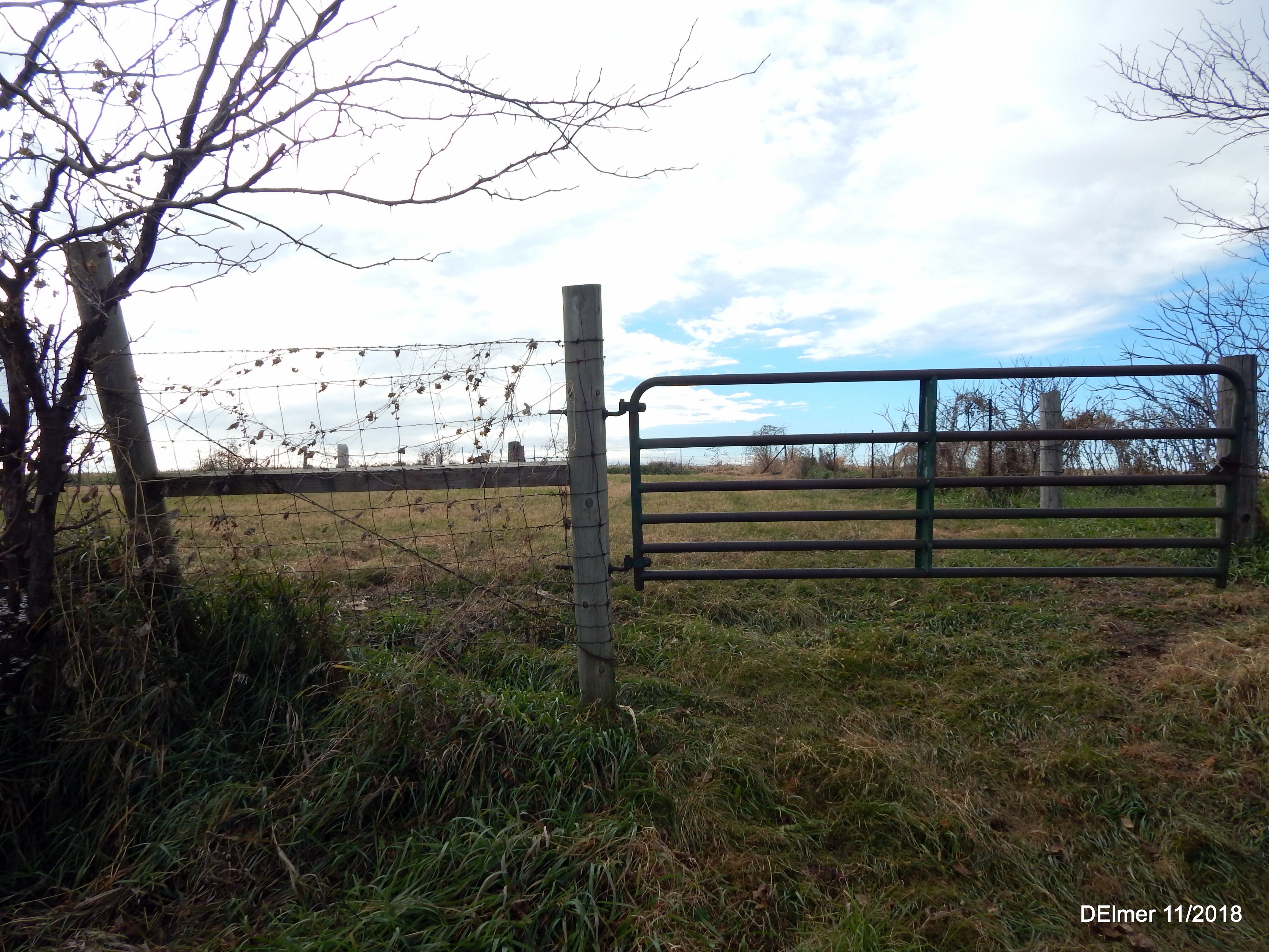
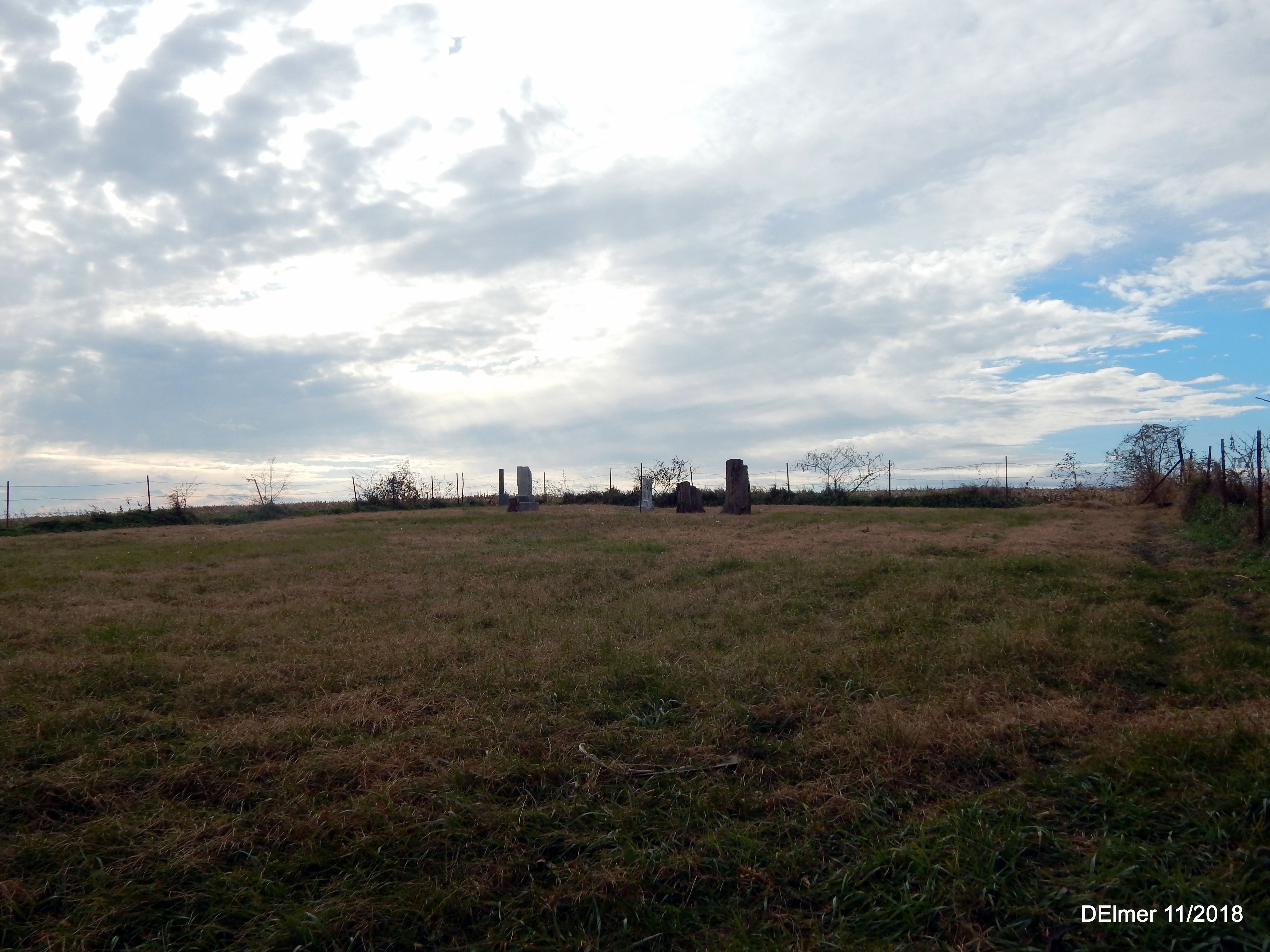
| Description | : | The Freeman Cemetery is located in SE 1/4 of 22-4-5, Blakely Township, Gage County, Nebraska. This cemetery, located near the present-day Homestead National Monument, received its name from the First Homesteader Daniel Freeman. The Daniel Freeman School was also used as a church (1870-1875), and this became the church cemetery. John Scheve donated his land for these such purposes on September 7, 1871. The cemetery was petitioned and approved for abandonedment on June 21, 1994 by the Gage County Board of Supervisors and is currently maintained by Boy Scout Troop #221 of Beatrice. |
frequently asked questions (FAQ):
-
Where is Freeman Cemetery?
Freeman Cemetery is located at SW 89th Road Beatrice, Gage County ,Nebraska , 68310USA.
-
Freeman Cemetery cemetery's updated grave count on graveviews.com?
10 memorials
-
Where are the coordinates of the Freeman Cemetery?
Latitude: 40.2966933
Longitude: -96.8435666
Nearby Cemetories:
1. Homestead National Historical Park
Beatrice, Gage County, USA
Coordinate: 40.2864800, -96.8271100
2. First Mennonite Church Cemetery
Beatrice, Gage County, USA
Coordinate: 40.2856800, -96.8120500
3. First Trinity Lutheran Cemetery
Beatrice, Gage County, USA
Coordinate: 40.3053600, -96.8794400
4. Dolen Cemetery
Gage County, USA
Coordinate: 40.3494950, -96.8225930
5. Sparks Cemetery
Beatrice, Gage County, USA
Coordinate: 40.2485180, -96.8984970
6. Kilpatrick Cemetery
Plymouth, Jefferson County, USA
Coordinate: 40.2919006, -96.9338989
7. Walnut Grove Pet Cemetery
Beatrice, Gage County, USA
Coordinate: 40.2613200, -96.7605920
8. Saint Joseph Cemetery
Beatrice, Gage County, USA
Coordinate: 40.3054700, -96.7460700
9. Ellis Cemetery
Beatrice, Gage County, USA
Coordinate: 40.2260017, -96.8785019
10. Immanuel Lutheran Cemetery
Plymouth, Jefferson County, USA
Coordinate: 40.3075430, -96.9529750
11. Beatrice Cemetery
Beatrice, Gage County, USA
Coordinate: 40.2625970, -96.7332670
12. Zion Lutheran Cemetery
Harbine, Jefferson County, USA
Coordinate: 40.2346610, -96.9350780
13. Austin Creek Cemetery
Beatrice, Gage County, USA
Coordinate: 40.3282280, -96.7233020
14. Rose Hill Cemetery
Gage County, USA
Coordinate: 40.3936005, -96.8553009
15. Evergreen Home Cemetery
Beatrice, Gage County, USA
Coordinate: 40.2677994, -96.7052994
16. Woodlawn Cemetery
Plymouth, Jefferson County, USA
Coordinate: 40.2991982, -96.9906006
17. Pleasant View Cemetery
Pickrell, Gage County, USA
Coordinate: 40.3493240, -96.7101000
18. Saint Paul's Lutheran Cemetery
Gage County, USA
Coordinate: 40.4186330, -96.8187780
19. Saint Pauls Evangelical Lutheran Cemetery
Plymouth, Jefferson County, USA
Coordinate: 40.3074989, -97.0085983
20. Oak Grove Cemetery
De Witt, Saline County, USA
Coordinate: 40.4049988, -96.9483032
21. Harbine Cemetery
Harbine, Jefferson County, USA
Coordinate: 40.2042007, -96.9717026
22. Old Plymouth Cemetery
Plymouth, Jefferson County, USA
Coordinate: 40.2621994, -97.0235977
23. Hope Church Cemetery
Harbine, Jefferson County, USA
Coordinate: 40.1826480, -96.9540828
24. Anyon Cemetery
Beatrice, Gage County, USA
Coordinate: 40.1548600, -96.8128800