
| Memorials | : | 0 |
| Location | : | Society Hill, Macon County, USA |
| Coordinate | : | 32.4021500, -85.4910300 |
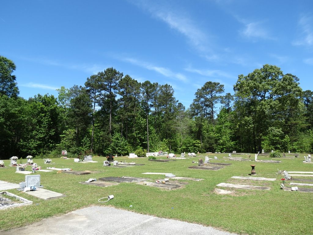
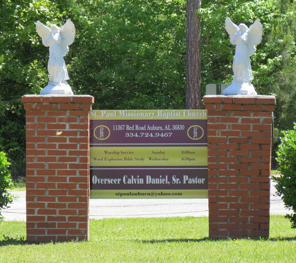
| Description | : | The church's postal address is Auburn, Alabama, but it is actually located about 20 miles south of the city in Macon County's unincorporated Society Hill community. There is another St. Paul Baptist Church Cemetery at the southern end of Macon County on Co. Rd. 2 in Armstrong. |
frequently asked questions (FAQ):
-
Where is Saint Paul Missionary Baptist Church Cemetery?
Saint Paul Missionary Baptist Church Cemetery is located at 11367 Red Road Society Hill, Macon County ,Alabama ,USA.
-
Saint Paul Missionary Baptist Church Cemetery cemetery's updated grave count on graveviews.com?
0 memorials
-
Where are the coordinates of the Saint Paul Missionary Baptist Church Cemetery?
Latitude: 32.4021500
Longitude: -85.4910300
Nearby Cemetories:
1. Darlington Cemetery
Macon County, USA
Coordinate: 32.4272003, -85.5203018
2. Society Hill Baptist Church Cemetery
Society Hill, Macon County, USA
Coordinate: 32.4253006, -85.4447021
3. Lynn Family Cemetery
Lee County, USA
Coordinate: 32.4259630, -85.4451370
4. Mount Pleasant Cemetery
Macon County, USA
Coordinate: 32.3905983, -85.5503006
5. Pine Grove Cemetery
Macon County, USA
Coordinate: 32.4230995, -85.5591965
6. Holt Cemetery
Society Hill, Macon County, USA
Coordinate: 32.4636002, -85.4494019
7. Zion at the Hill A.M.E. Zion Church Cemetery
Opelika, Lee County, USA
Coordinate: 32.4499420, -85.4272790
8. Little Texas Cemetery
Little Texas, Macon County, USA
Coordinate: 32.4411011, -85.5708008
9. Cobb Cemetery
Macon County, USA
Coordinate: 32.4796982, -85.4753036
10. Whatley Cemetery
Society Hill, Macon County, USA
Coordinate: 32.4785995, -85.4524994
11. Little Ark Baptist Church Cemetery
Marvyn, Lee County, USA
Coordinate: 32.4618000, -85.4218000
12. New Life Baptist Church Cemetery
Marvyn, Lee County, USA
Coordinate: 32.4367300, -85.3923800
13. Pine Level Church Cemetery
Hatchechubbee, Russell County, USA
Coordinate: 32.3830670, -85.3851070
14. Jennings & Clark Cemetery
Society Hill, Macon County, USA
Coordinate: 32.4927100, -85.4737500
15. Union Cemetery
Alliance, Macon County, USA
Coordinate: 32.4740200, -85.5631300
16. Bethel Missionary Baptist Church Cemetery #2
Opelika, Lee County, USA
Coordinate: 32.4777710, -85.4201360
17. Bethel #2 Missionary Baptist Church Cemetery
Marvyn, Lee County, USA
Coordinate: 32.4778700, -85.4201200
18. Magnolia Cemetery
Macon County, USA
Coordinate: 32.3513985, -85.5907974
19. Mount Esther AME Zion Church Cemetery
Macon County, USA
Coordinate: 32.4802430, -85.5626970
20. Oak Grove Missionary Baptist Church Cemetery
Macon County, USA
Coordinate: 32.4935989, -85.5505981
21. Scarbrough Cemetery
Hurtsboro, Russell County, USA
Coordinate: 32.3229680, -85.4082390
22. Warrior Stand Cemetery
Macon County, USA
Coordinate: 32.3027992, -85.5389023
23. Borom Family Cemetery
Macon County, USA
Coordinate: 32.3036003, -85.4405975
24. Creek Stand Cemetery
Creek Stand, Macon County, USA
Coordinate: 32.2947006, -85.4811020