
| Memorials | : | 0 |
| Location | : | Lock Haven, Clinton County, USA |
| Coordinate | : | 41.1368599, -77.4454213 |
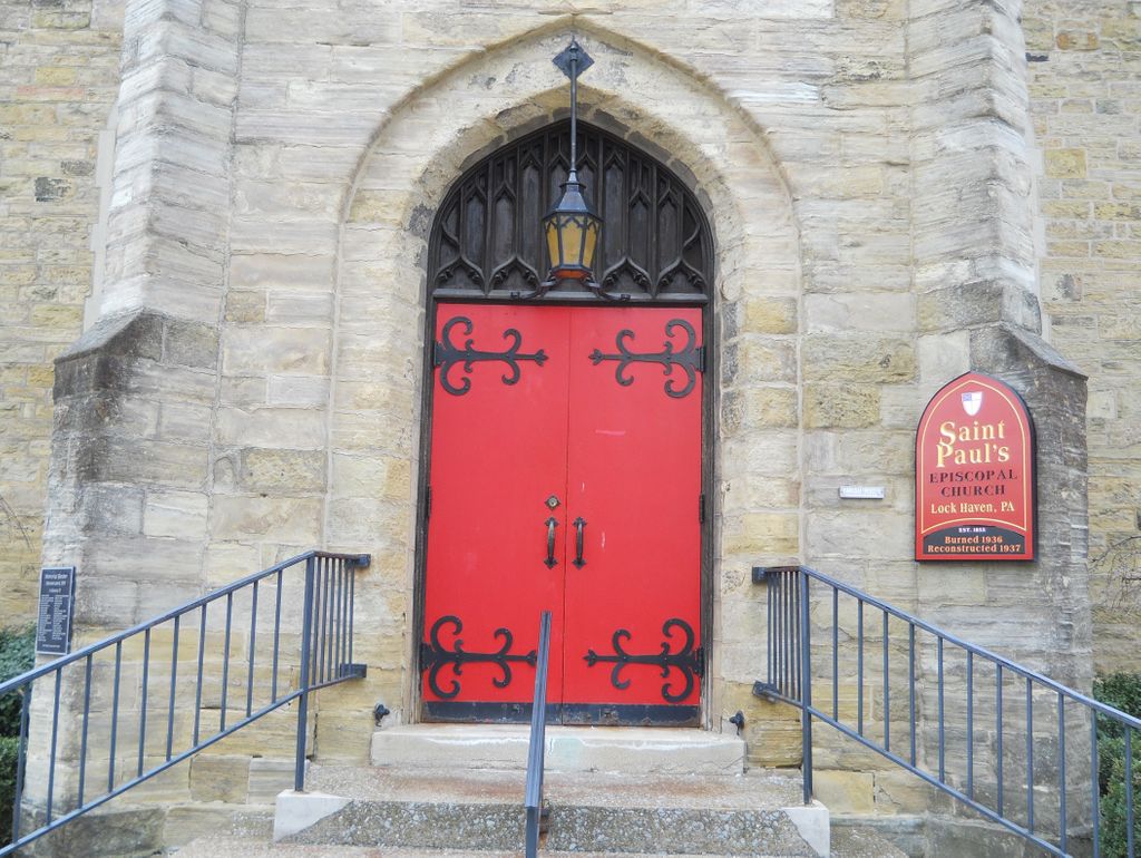
| Description | : | Provided By The Clinton County Genealogical Society www.clintoncogensociety.org History: The Protestant Episcopal Church, the American component of the Anglican Communion, began to take root in the Lock Haven area in the mid-19th century. Occasional services were held in the area, and on September 19, 1855, at the Clinton Hotel, St. Paul’s congregation was organized with twelve vestrymen. Rev. Samuel B. Dalrymple was the first resident rector, beginning his service in July 1856. The church building was begun in 1857, and consecrated on June 22, 1863, by Bishop Potter. The congregation has existed to the present day, participating in the... Read More |
frequently asked questions (FAQ):
-
Where is Saint Pauls Episcopal Church Columbarium?
Saint Pauls Episcopal Church Columbarium is located at 112 East Main Street Lock Haven, Clinton County ,Pennsylvania , 17745USA.
-
Saint Pauls Episcopal Church Columbarium cemetery's updated grave count on graveviews.com?
0 memorials
-
Where are the coordinates of the Saint Pauls Episcopal Church Columbarium?
Latitude: 41.1368599
Longitude: -77.4454213

Nearby Cemetories:
1. Presbyterian Cemetery
Lock Haven, Clinton County, USA
Coordinate: 41.1332500, -77.4569800
2. Fairview Cemetery
Lock Haven, Clinton County, USA
Coordinate: 41.1353300, -77.4619700
3. Highland Cemetery
Lock Haven, Clinton County, USA
Coordinate: 41.1371994, -77.4625015
4. Saint Mary's Cemetery
Lock Haven, Clinton County, USA
Coordinate: 41.1450005, -77.4669037
5. Flemington Cemetery
Flemington, Clinton County, USA
Coordinate: 41.1277650, -77.4681650
6. Beth Yehuda Cemetery
Lock Haven, Clinton County, USA
Coordinate: 41.1383018, -77.4713974
7. Dunnstown Cemetery
Dunnstown, Clinton County, USA
Coordinate: 41.1424000, -77.4199000
8. Saint Agnes Cemetery
Lock Haven, Clinton County, USA
Coordinate: 41.1371994, -77.4725037
9. Bartholomew Family Cemetery
Lock Haven, Clinton County, USA
Coordinate: 41.1575388, -77.4654450
10. Smith Family Cemetery
Lock Haven, Clinton County, USA
Coordinate: 41.1598833, -77.4692000
11. Swissdale Cemetery
Swissdale, Clinton County, USA
Coordinate: 41.1752000, -77.4385000
12. Weise Family Cemetery
Lock Haven, Clinton County, USA
Coordinate: 41.1759830, -77.4131310
13. Sunnyside Cemetery
Mill Hall, Clinton County, USA
Coordinate: 41.1217003, -77.5074997
14. Swissdale Evangelical Cemetery
Swissdale, Clinton County, USA
Coordinate: 41.1833000, -77.4210000
15. Methodist Episcopal Cemetery
Salona, Clinton County, USA
Coordinate: 41.0844000, -77.4513000
16. Brown Cemetery
Mill Hall, Clinton County, USA
Coordinate: 41.1053009, -77.5074997
17. Saint Johns Cemetery
Dunnstable Township, Clinton County, USA
Coordinate: 41.1644000, -77.3792000
18. Disciples Cemetery
Salona, Clinton County, USA
Coordinate: 41.0811005, -77.4644012
19. Rest Haven Memorial Park
Lock Haven, Clinton County, USA
Coordinate: 41.1688530, -77.3761080
20. Union-Throne Cemetery
McElhattan, Clinton County, USA
Coordinate: 41.1574000, -77.3675000
21. Snyder Cemetery
Mill Hall, Clinton County, USA
Coordinate: 41.0951000, -77.3840000
22. Linnwood Cemetery
McElhattan, Clinton County, USA
Coordinate: 41.1559000, -77.3648000
23. Cedar Hill Cemetery
Mill Hall, Clinton County, USA
Coordinate: 41.0780800, -77.4779000
24. Rich Cemetery
Crestmont, Clinton County, USA
Coordinate: 41.1731380, -77.3705750