
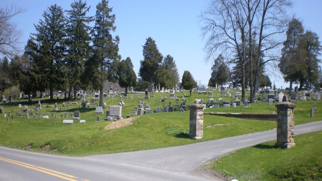
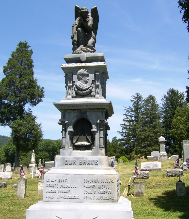
| Memorials | : | 29 |
| Location | : | Mill Hall, Clinton County, USA |
| Coordinate | : | 41.0780800, -77.4779000 |
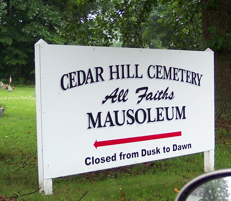
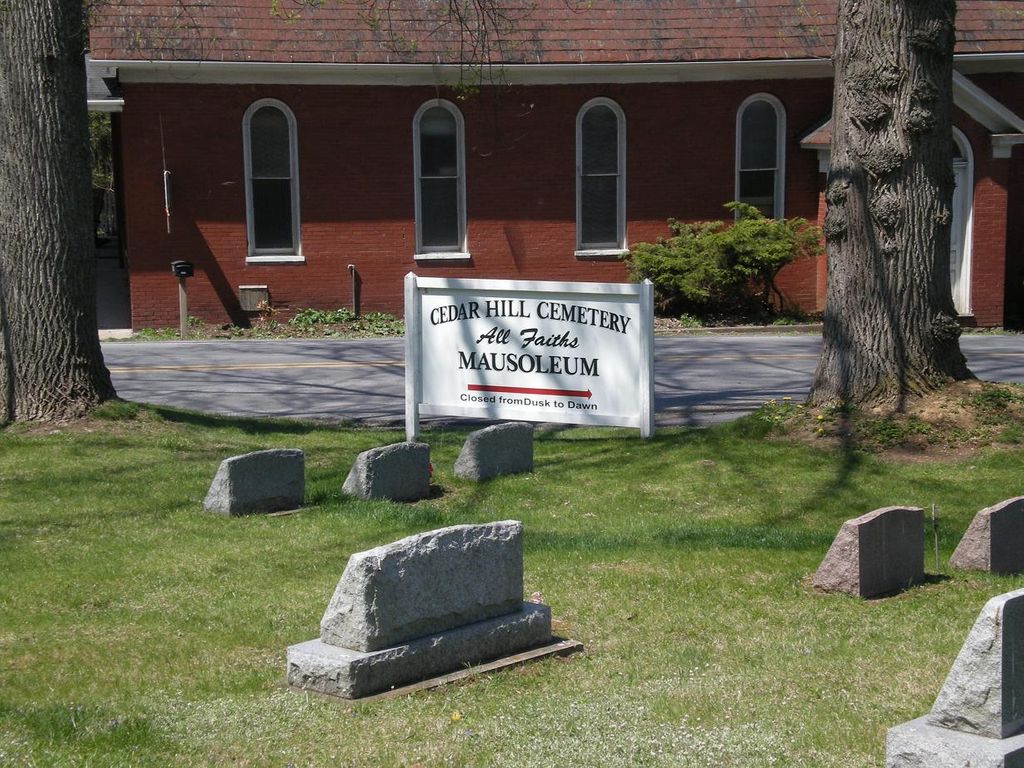
| Description | : | From the I-80 Exit at Lamar, Exit 25, travel East on Route 64 (turn left if getting off east bound, right if getting of west bound lanes). Travel 3.9 miles to Mackeyville Road. Turn right and travel 0.2 miles. The entrance to the cemetery is on your left. |
frequently asked questions (FAQ):
-
Where is Cedar Hill Cemetery?
Cedar Hill Cemetery is located at Maple Street Mill Hall, Clinton County ,Pennsylvania , 17751USA.
-
Cedar Hill Cemetery cemetery's updated grave count on graveviews.com?
26 memorials
-
Where are the coordinates of the Cedar Hill Cemetery?
Latitude: 41.0780800
Longitude: -77.4779000


Nearby Cemetories:
1. Disciples Cemetery
Salona, Clinton County, USA
Coordinate: 41.0811005, -77.4644012
2. Methodist Episcopal Cemetery
Salona, Clinton County, USA
Coordinate: 41.0844000, -77.4513000
3. Long Cemetery
Mill Hall, Clinton County, USA
Coordinate: 41.0584667, -77.4948000
4. Mackeyville Cemetery
Mackeyville, Clinton County, USA
Coordinate: 41.0516000, -77.4637000
5. Brown Cemetery
Mill Hall, Clinton County, USA
Coordinate: 41.1053009, -77.5074997
6. East End Amish Cemetery
Clinton County, USA
Coordinate: 41.0701000, -77.4281000
7. Parkman Mausoleum
Mackeyville, Clinton County, USA
Coordinate: 41.0380960, -77.4611740
8. Saint Pauls Lutheran Cemetery
Lamar, Clinton County, USA
Coordinate: 41.0425000, -77.5085000
9. Mount Bethel United Church of Christ Cemetery
Lamar, Clinton County, USA
Coordinate: 41.0390000, -77.5136000
10. Sunnyside Cemetery
Mill Hall, Clinton County, USA
Coordinate: 41.1217003, -77.5074997
11. Flemington Cemetery
Flemington, Clinton County, USA
Coordinate: 41.1277650, -77.4681650
12. Presbyterian Cemetery
Lock Haven, Clinton County, USA
Coordinate: 41.1332500, -77.4569800
13. Fairview Cemetery
Lock Haven, Clinton County, USA
Coordinate: 41.1353300, -77.4619700
14. Saint Agnes Cemetery
Lock Haven, Clinton County, USA
Coordinate: 41.1371994, -77.4725037
15. Highland Cemetery
Lock Haven, Clinton County, USA
Coordinate: 41.1371994, -77.4625015
16. Beth Yehuda Cemetery
Lock Haven, Clinton County, USA
Coordinate: 41.1383018, -77.4713974
17. Saint Pauls Episcopal Church Columbarium
Lock Haven, Clinton County, USA
Coordinate: 41.1368599, -77.4454213
18. Saint Mary's Cemetery
Lock Haven, Clinton County, USA
Coordinate: 41.1450005, -77.4669037
19. Bossert Family Cemetery
Beech Creek, Clinton County, USA
Coordinate: 41.0709320, -77.5695600
20. Hays-Fearon Cemetery
Beech Creek, Clinton County, USA
Coordinate: 41.0703011, -77.5706024
21. Snyder Cemetery
Mill Hall, Clinton County, USA
Coordinate: 41.0951000, -77.3840000
22. Nestlerode Cemetery
Centre County, USA
Coordinate: 41.0638333, -77.5761167
23. Dunnstown Cemetery
Dunnstown, Clinton County, USA
Coordinate: 41.1424000, -77.4199000
24. Bartholomew Family Cemetery
Lock Haven, Clinton County, USA
Coordinate: 41.1575388, -77.4654450