| Memorials | : | 1 |
| Location | : | Vesper, Wood County, USA |
| Coordinate | : | 44.4424210, -89.9630051 |
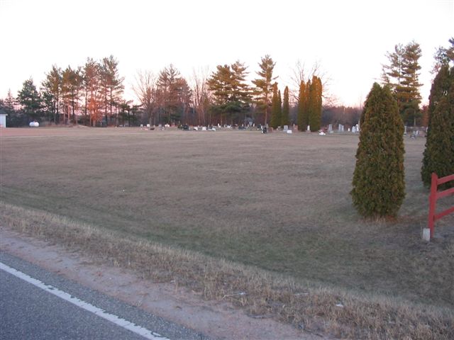
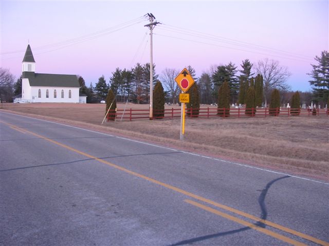
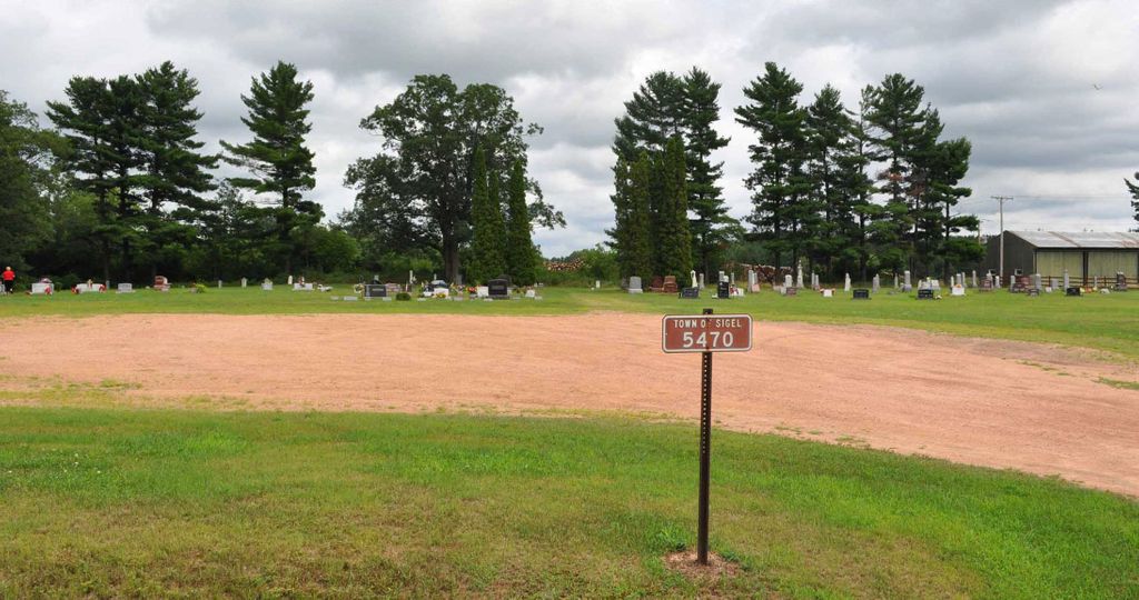
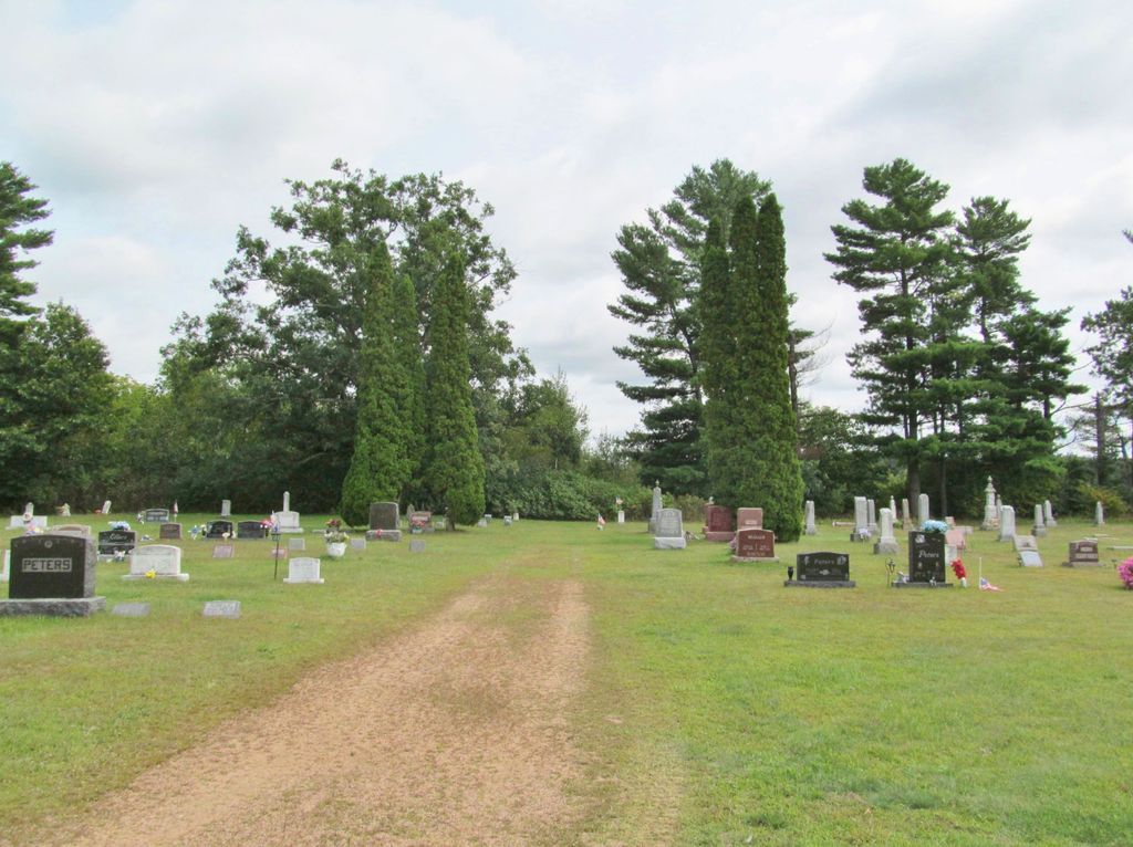
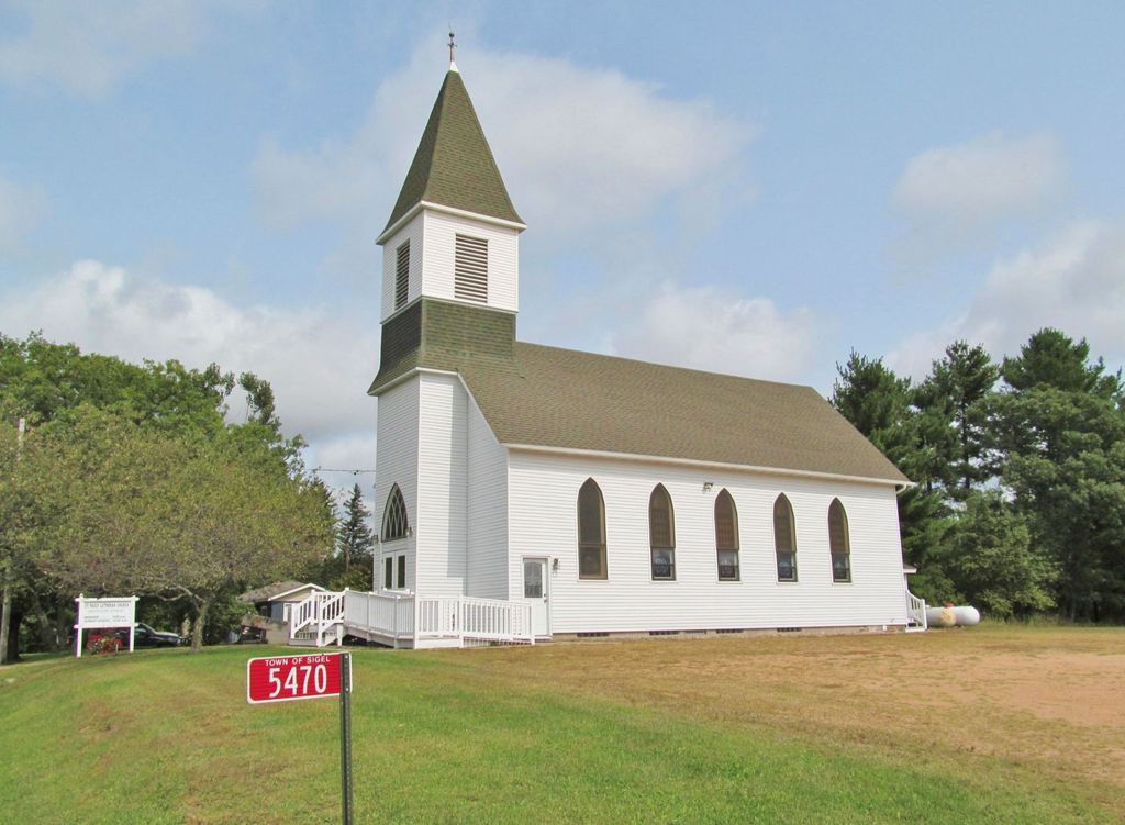
| Description | : | Saint Paul's Lutheran Cemetery Town of Sigel Wood County Wisconsin About 2 1/2 miles south of Vesper. On the east side of County Highway D, 1/4 mile south of the junction of State Highway 73 and State Highway 186 (known as Seneca Corners). Once known as Hansen, Seneca, Forest City, Little Mill. |
frequently asked questions (FAQ):
-
Where is Saint Pauls Lutheran Cemetery?
Saint Pauls Lutheran Cemetery is located at Vesper, Wood County ,Wisconsin ,USA.
-
Saint Pauls Lutheran Cemetery cemetery's updated grave count on graveviews.com?
1 memorials
-
Where are the coordinates of the Saint Pauls Lutheran Cemetery?
Latitude: 44.4424210
Longitude: -89.9630051
Nearby Cemetories:
1. Griesbach Cemetery
Vesper, Wood County, USA
Coordinate: 44.4450645, -89.9543304
2. Saint Josephs Catholic Cemetery
Vesper, Wood County, USA
Coordinate: 44.4172440, -89.9886932
3. White Indian Cemetery
Seneca, Wood County, USA
Coordinate: 44.4061000, -89.9479000
4. Faith Reformed Church Cemetery
Vesper, Wood County, USA
Coordinate: 44.4823570, -89.9764820
5. Saint James Cemetery
Vesper, Wood County, USA
Coordinate: 44.4880981, -89.9794006
6. Waub-Mee-Mee Cemetery
Seneca, Wood County, USA
Coordinate: 44.4051600, -89.9212100
7. Saint John Lutheran Cemetery
Wisconsin Rapids, Wood County, USA
Coordinate: 44.4453011, -89.8933029
8. Trinity Lutheran Cemetery
Vesper, Wood County, USA
Coordinate: 44.4902992, -89.9878006
9. Christian Reformed Cemetery
Vesper, Wood County, USA
Coordinate: 44.5113983, -89.9300003
10. Holy Rosary Cemetery
Wisconsin Rapids, Wood County, USA
Coordinate: 44.4706001, -89.8683014
11. Bethany Lutheran Cemetery
Wisconsin Rapids, Wood County, USA
Coordinate: 44.4961900, -89.8842920
12. First English Lutheran Cemetery
Wisconsin Rapids, Wood County, USA
Coordinate: 44.4635582, -89.8542557
13. Saint Johns Cemetery
Pittsville, Wood County, USA
Coordinate: 44.4413986, -90.0785980
14. Immanuel Lutheran Church Cemetery
Arpin, Wood County, USA
Coordinate: 44.5196991, -90.0250015
15. Wood County Cemetery
Wisconsin Rapids, Wood County, USA
Coordinate: 44.3660100, -89.8744600
16. Saint Philip Catholic Cemetery
Rudolph, Wood County, USA
Coordinate: 44.4886017, -89.8285980
17. Arpin Cemetery
Arpin, Wood County, USA
Coordinate: 44.5344009, -90.0456009
18. Port Edwards Municipal Cemetery
Port Edwards, Wood County, USA
Coordinate: 44.3430023, -89.8971786
19. Saint John Episcopal Church
Wisconsin Rapids, Wood County, USA
Coordinate: 44.3904780, -89.8235940
20. Indian Bill Cemetery
Bethel, Wood County, USA
Coordinate: 44.5261002, -90.0718994
21. John Ne-Wee Cemetery
Bethel, Wood County, USA
Coordinate: 44.5289001, -90.0702972
22. Mound Cemetery
Pittsville, Wood County, USA
Coordinate: 44.4500008, -90.1288986
23. Saint Johns Cemetery
Rudolph, Wood County, USA
Coordinate: 44.4357986, -89.7968979
24. Founders Cemetery
Pittsville, Wood County, USA
Coordinate: 44.4421616, -90.1299667

