
| Memorials | : | 8 |
| Location | : | Lincoln, Lincoln County, USA |
| Coordinate | : | 38.9463272, -98.0782166 |
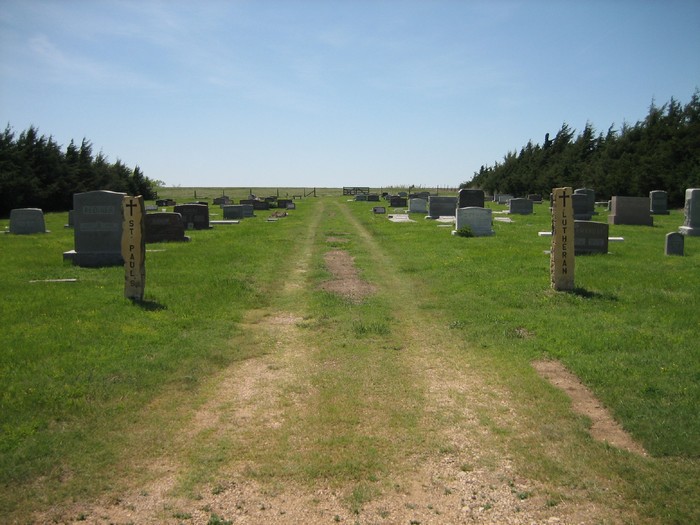
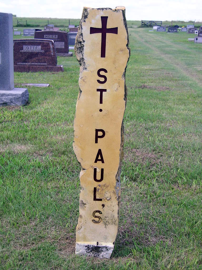
| Description | : | ST. PAUL'S LUTHERAN Township: Franklin Location: NE 1/4 of SE 1/4, Section 3, Township 13, Range 7 Directions: From Lincoln, go south on Highway 14 for 7.4 miles (to the Westfall turnoff; there is a sign for St. Paul's Church as well). Turn left (east) on 190th Rd. You'll come to a stop sign almost immediately. Turn left at the stop sign, onto Elk Drive. Go four miles, then turn left on 230th Rd. Cemetery is on the left (west) side of this road, past the church. |
frequently asked questions (FAQ):
-
Where is Saint Pauls Lutheran Cemetery?
Saint Pauls Lutheran Cemetery is located at Lincoln, Lincoln County ,Kansas ,USA.
-
Saint Pauls Lutheran Cemetery cemetery's updated grave count on graveviews.com?
7 memorials
-
Where are the coordinates of the Saint Pauls Lutheran Cemetery?
Latitude: 38.9463272
Longitude: -98.0782166
Nearby Cemetories:
1. Hammer Cemetery
Lincoln, Lincoln County, USA
Coordinate: 38.9575005, -98.0868988
2. Washam Cemetery
Lincoln County, USA
Coordinate: 38.9300003, -98.0211029
3. Shady Bend Cemetery
Lincoln County, USA
Coordinate: 39.0112900, -98.0402420
4. Saint John Lutheran Cemetery
Lincoln, Lincoln County, USA
Coordinate: 38.9919701, -98.1549454
5. Monroe Cemetery
Beverly, Lincoln County, USA
Coordinate: 38.9813995, -97.9847031
6. Saint Patricks Cemetery
Lincoln, Lincoln County, USA
Coordinate: 39.0161018, -98.1508026
7. Lincoln Cemetery
Lincoln, Lincoln County, USA
Coordinate: 39.0377998, -98.1342010
8. Lienhard Family Cemetery
Lincoln, Lincoln County, USA
Coordinate: 38.9453926, -98.2194901
9. Beverly Cemetery
Beverly, Lincoln County, USA
Coordinate: 39.0236015, -97.9749985
10. Heiser Cemetery
Lincoln County, USA
Coordinate: 38.9975014, -98.2063980
11. Lincoln County Poor Farm Cemetery
Lincoln, Lincoln County, USA
Coordinate: 39.0588100, -98.0954300
12. Prairie Mound Cemetery
Mulberry Township, Ellsworth County, USA
Coordinate: 38.8703800, -97.9505300
13. Elkhorn-McCoy Farm Cemetery
Ellsworth County, USA
Coordinate: 38.8278230, -98.1321980
14. Price Cemetery
Tescott, Ottawa County, USA
Coordinate: 39.0311012, -97.9143982
15. Saint John Cemetery
Vesper, Lincoln County, USA
Coordinate: 39.0167007, -98.2589035
16. Voss Cemetery
Lincoln County, USA
Coordinate: 38.9444008, -98.2802963
17. Emanuels Cemetery
Vesper, Lincoln County, USA
Coordinate: 38.9799995, -98.2797012
18. Franklin Cemetery
Tescott, Ottawa County, USA
Coordinate: 38.9841995, -97.8739014
19. Clear Creek Cemetery
Ellsworth County, USA
Coordinate: 38.7839012, -98.1082993
20. Sunnyside Cemetery
Barnard, Lincoln County, USA
Coordinate: 39.1130981, -98.0627975
21. Glendale Cemetery
Saline County, USA
Coordinate: 38.9001000, -97.8681100
22. Simmons Family Cemetery
Vesper, Lincoln County, USA
Coordinate: 39.0490600, -98.2600100
23. Saint Paul's Lutheran Cemetery
Ellsworth, Ellsworth County, USA
Coordinate: 38.8208030, -98.2628440
24. Fairview Cemetery
Ellsworth County, USA
Coordinate: 38.8424988, -98.2910995