
| Memorials | : | 1365 |
| Location | : | Swanton, Fulton County, USA |
| Coordinate | : | 41.5888000, -83.8972700 |
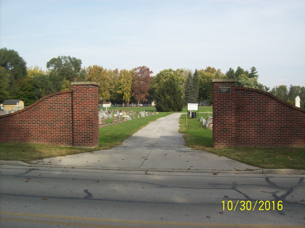
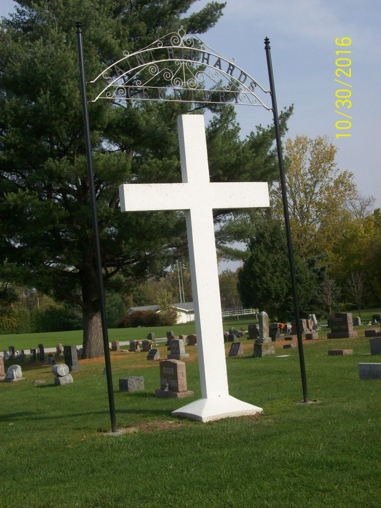
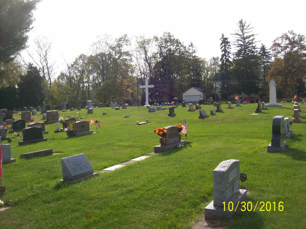
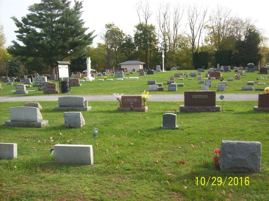
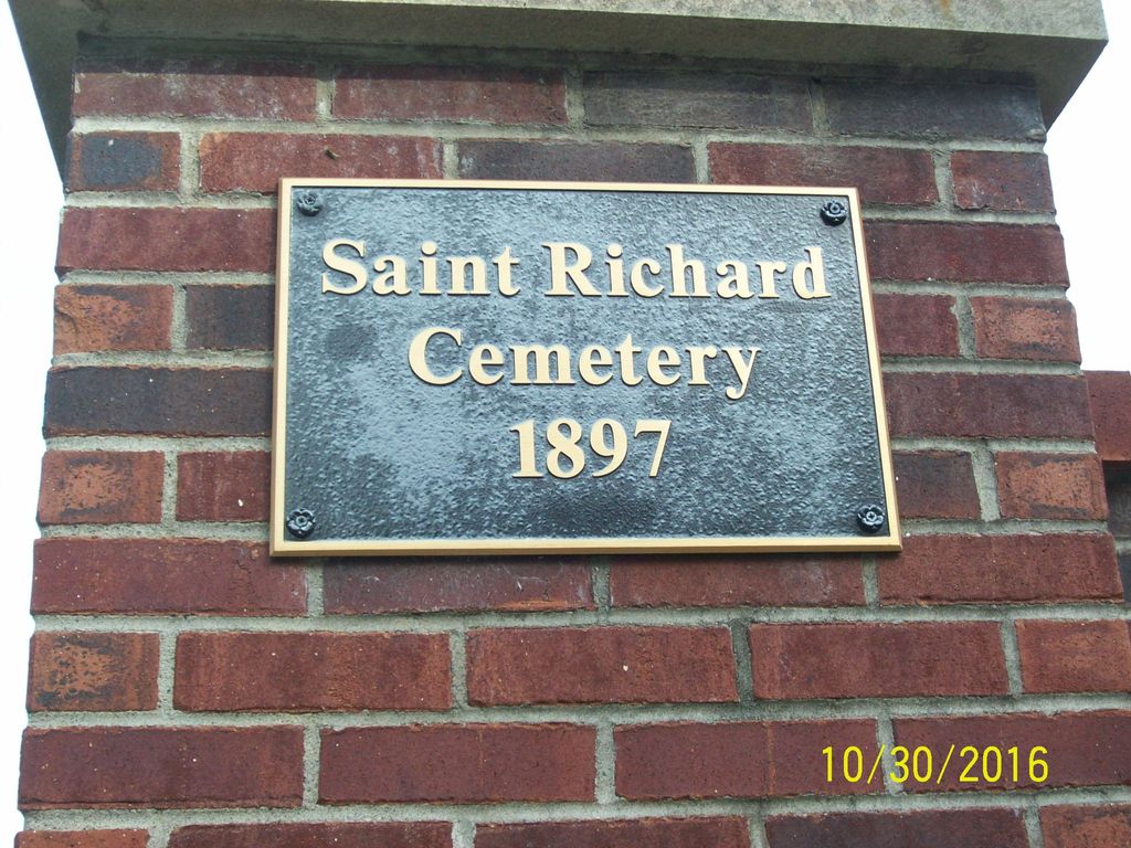
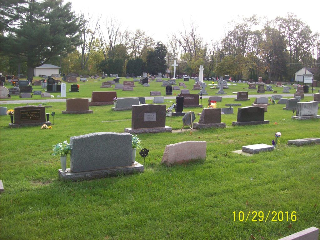
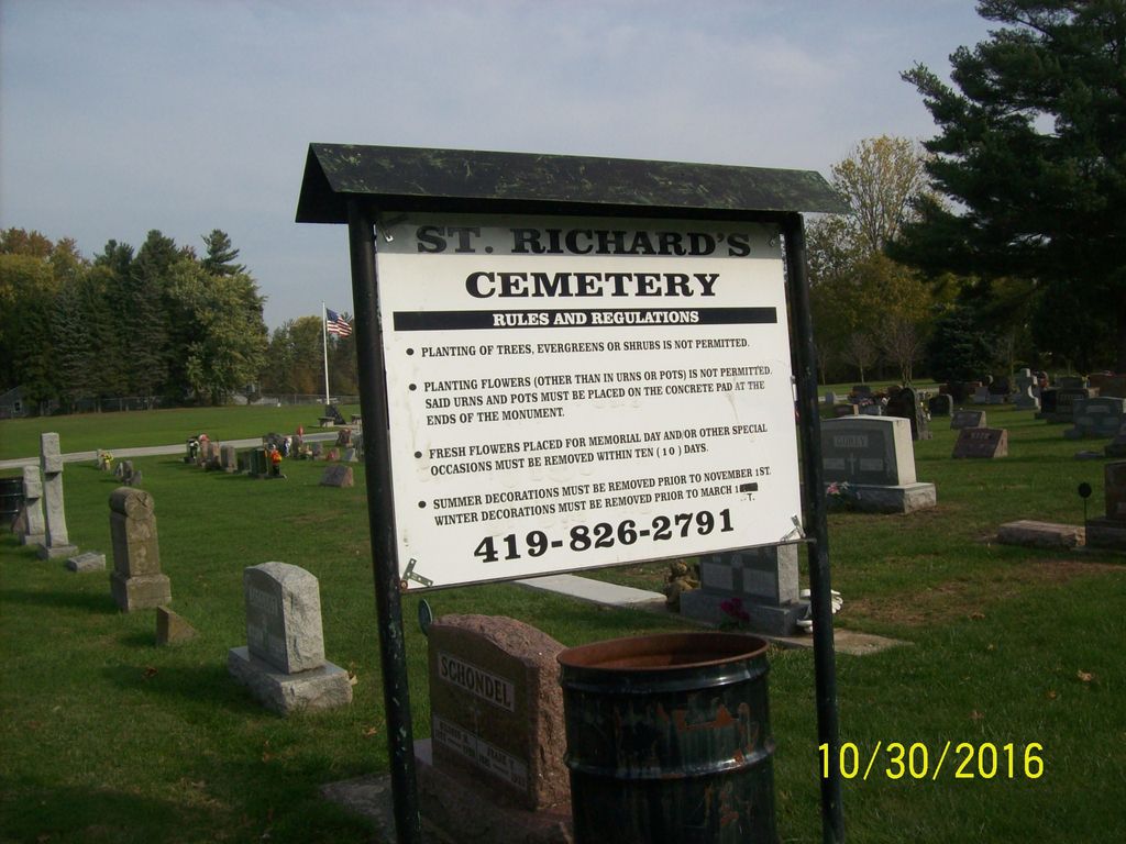
| Description | : | The St. Richard's Cemetery is located on the north side of Dodge Street, west of Swanton, in Fulton Township. In 1890 land was purchased along Dodge Street, west of Swanton, as the site for the St. Richard Catholic Church. At the same time a two acre plot was purchased to be used as a cemetery for the church. The cemetery is registered with the Ohio Division of Real Estate and Professional Licensing (ODRE) as St. Richard Parish Cemetery with registration license number CBR.0000982013. The U.S. Geological Survey (USGS) Geographic Names Information System (GNIS) feature ID for the cemetery is... Read More |
frequently asked questions (FAQ):
-
Where is Saint Richards Cemetery?
Saint Richards Cemetery is located at Dodge Street Swanton, Fulton County ,Ohio , 43588USA.
-
Saint Richards Cemetery cemetery's updated grave count on graveviews.com?
1365 memorials
-
Where are the coordinates of the Saint Richards Cemetery?
Latitude: 41.5888000
Longitude: -83.8972700
Nearby Cemetories:
1. Swanton Cemetery
Swanton, Fulton County, USA
Coordinate: 41.5777800, -83.8873400
2. East Swanton Cemetery
East Swanton, Lucas County, USA
Coordinate: 41.5850500, -83.8621600
3. Ai Cemetery
Ai, Fulton County, USA
Coordinate: 41.6283000, -83.9388100
4. Fulton Union Cemetery
Delta, Fulton County, USA
Coordinate: 41.5936012, -83.9642029
5. Bird Family Cemetery
Swanton Township, Lucas County, USA
Coordinate: 41.5499220, -83.8541060
6. Sharples Cemetery
Sharples, Lucas County, USA
Coordinate: 41.6286600, -83.8341100
7. Franklin Cemetery
East Swanton, Lucas County, USA
Coordinate: 41.5295110, -83.8550380
8. Dutch Ridge Cemetery
Fulton Township, Fulton County, USA
Coordinate: 41.6460991, -83.9558029
9. Keen Cemetery
Delta, Fulton County, USA
Coordinate: 41.5416985, -83.9713974
10. Lutheran Cemetery
Fulton County, USA
Coordinate: 41.5236000, -83.9419000
11. King Cemetery
Fulton County, USA
Coordinate: 41.5590600, -84.0008800
12. Saint Marys Catholic Cemetery
Assumption, Fulton County, USA
Coordinate: 41.6712400, -83.9120100
13. Old Delta Cemetery
Delta, Fulton County, USA
Coordinate: 41.5811005, -84.0117035
14. Greenlawn Cemetery
Delta, Fulton County, USA
Coordinate: 41.5752983, -84.0124969
15. Marygrove Cemetery
Raab Corners, Lucas County, USA
Coordinate: 41.6528300, -83.8174400
16. Raker Cemetery
Delta, Fulton County, USA
Coordinate: 41.5293999, -83.9852982
17. Winslow Cemetery
Whitehouse, Lucas County, USA
Coordinate: 41.5345000, -83.8007700
18. Amboy Township Cemetery
Fulton County, USA
Coordinate: 41.6869957, -83.9121649
19. Shiloh Cemetery
Fulton County, USA
Coordinate: 41.5008011, -83.9606018
20. Rupp Cemetery
Whitehouse, Lucas County, USA
Coordinate: 41.5323067, -83.7855759
21. Hubell Cemetery
Wauseon, Fulton County, USA
Coordinate: 41.5591670, -84.0310670
22. Mennonite Cemetery
Whitehouse, Lucas County, USA
Coordinate: 41.5235176, -83.7817841
23. Whitehouse Cemetery
Whitehouse, Lucas County, USA
Coordinate: 41.5197983, -83.7845001
24. Saint Elizabeth Cemetery
Berkey, Lucas County, USA
Coordinate: 41.6870000, -83.8243800