
| Memorials | : | 342 |
| Location | : | Brooke, Lanark County, Canada |
| Coordinate | : | 44.8620605, -76.4229584 |
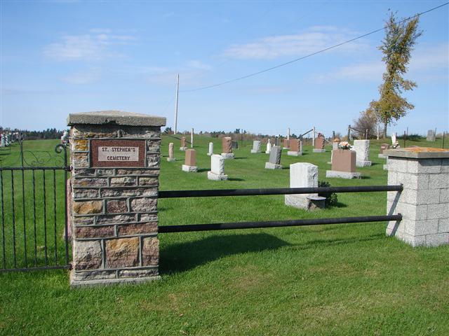
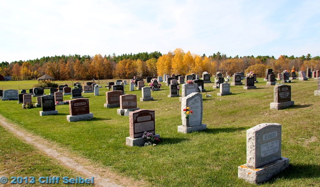
| Description | : | Located on Lot 7, Concession 6 in Brooke Ontario. The deed for St. Stephens Cemetery, registered on March 23rd,1866, states that Richard and Mary Ann White sold part lot 7 on the 6 th concession of Bathurst to the Anglican Diocese for $1. The cemetery was once known as "White's Cemetery", and currently, people of any religion are able to purchase plots there. There are different sections of the cemetery, with the old section being across from St. Stephen's Church, and the new part being on the other side of the laneway. Some burials may date back as far as... Read More |
frequently asked questions (FAQ):
-
Where is Saint Stephen's Anglican Cemetery?
Saint Stephen's Anglican Cemetery is located at 712 Anglican Church Rd Brooke, Lanark County ,Ontario ,Canada.
-
Saint Stephen's Anglican Cemetery cemetery's updated grave count on graveviews.com?
340 memorials
-
Where are the coordinates of the Saint Stephen's Anglican Cemetery?
Latitude: 44.8620605
Longitude: -76.4229584
Nearby Cemetories:
1. Brooke Methodist Cemetery
Brooke, Lanark County, Canada
Coordinate: 44.8591537, -76.4263916
2. McVeigh Cemetery
Bathurst, Lanark County, Canada
Coordinate: 44.8968580, -76.4134040
3. Rokeby Anglican Cemetery
South Sherbrooke, Lanark County, Canada
Coordinate: 44.8564244, -76.5140888
4. Scotch Line Cemetery
Scotch Line, Lanark County, Canada
Coordinate: 44.8397000, -76.3219100
5. Maberly United Church Cemetery
Maberly, Lanark County, Canada
Coordinate: 44.8490700, -76.5536900
6. Olde Burying Site
Bathurst, Lanark County, Canada
Coordinate: 44.8682970, -76.2904380
7. Saint Bridget's Cemetery
Stanleyville, Lanark County, Canada
Coordinate: 44.8048900, -76.3153700
8. Highland Line Cemetery
McDonald Corners, Lanark County, Canada
Coordinate: 44.9491000, -76.5171080
9. Pinehurst Cemetery
Playfairville, Lanark County, Canada
Coordinate: 44.9748260, -76.4146990
10. Bolingbroke Cemetery
Bolingbroke, Lanark County, Canada
Coordinate: 44.7615600, -76.5231900
11. Saint Columbkill's Parish Cemetery
McDonald Corners, Lanark County, Canada
Coordinate: 44.9609800, -76.5278630
12. Elmwood Cemetery
Perth, Lanark County, Canada
Coordinate: 44.9152500, -76.2622600
13. Saint John the Baptist Catholic Church
Perth, Lanark County, Canada
Coordinate: 44.8952293, -76.2466666
14. Saint Bridget's Catholic Church Cemetery (Defunct)
Perth, Lanark County, Canada
Coordinate: 44.8998300, -76.2447800
15. Old Burying Ground
Perth, Lanark County, Canada
Coordinate: 44.8990040, -76.2405260
16. Crawford Cemetery
Elphin, Lanark County, Canada
Coordinate: 44.9379800, -76.5825400
17. Saint Paul's United Church Cemetery
Perth, Lanark County, Canada
Coordinate: 44.8963120, -76.2363810
18. Campbell's Cemetery
Balderson, Lanark County, Canada
Coordinate: 44.9634420, -76.2879760
19. Zealand United Church Cemetery
Zealand, Frontenac County, Canada
Coordinate: 44.8327740, -76.6152300
20. Saint John's Parish Cemetery
Perth, Lanark County, Canada
Coordinate: 44.9055700, -76.2316700
21. Saint Pauls Anglican Cemetery
Sharbot Lake, Frontenac County, Canada
Coordinate: 44.8339010, -76.6284110
22. Chalmers Cemetery
Lanark County, Canada
Coordinate: 44.9832140, -76.5546520
23. Easton Family Cemetery
Lanark County, Canada
Coordinate: 45.0001100, -76.5161000
24. Gibson Family Burial Site
Lammermoor, Lanark County, Canada
Coordinate: 45.0001100, -76.5161000