| Memorials | : | 19 |
| Location | : | Scotch Line, Lanark County, Canada |
| Coordinate | : | 44.8397000, -76.3219100 |
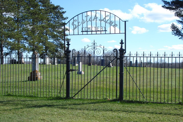
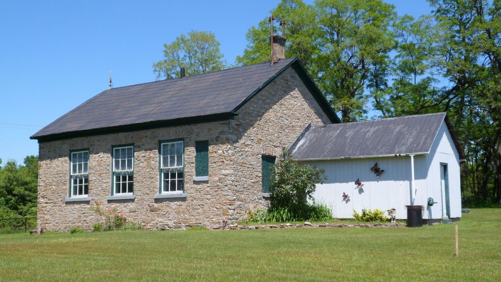
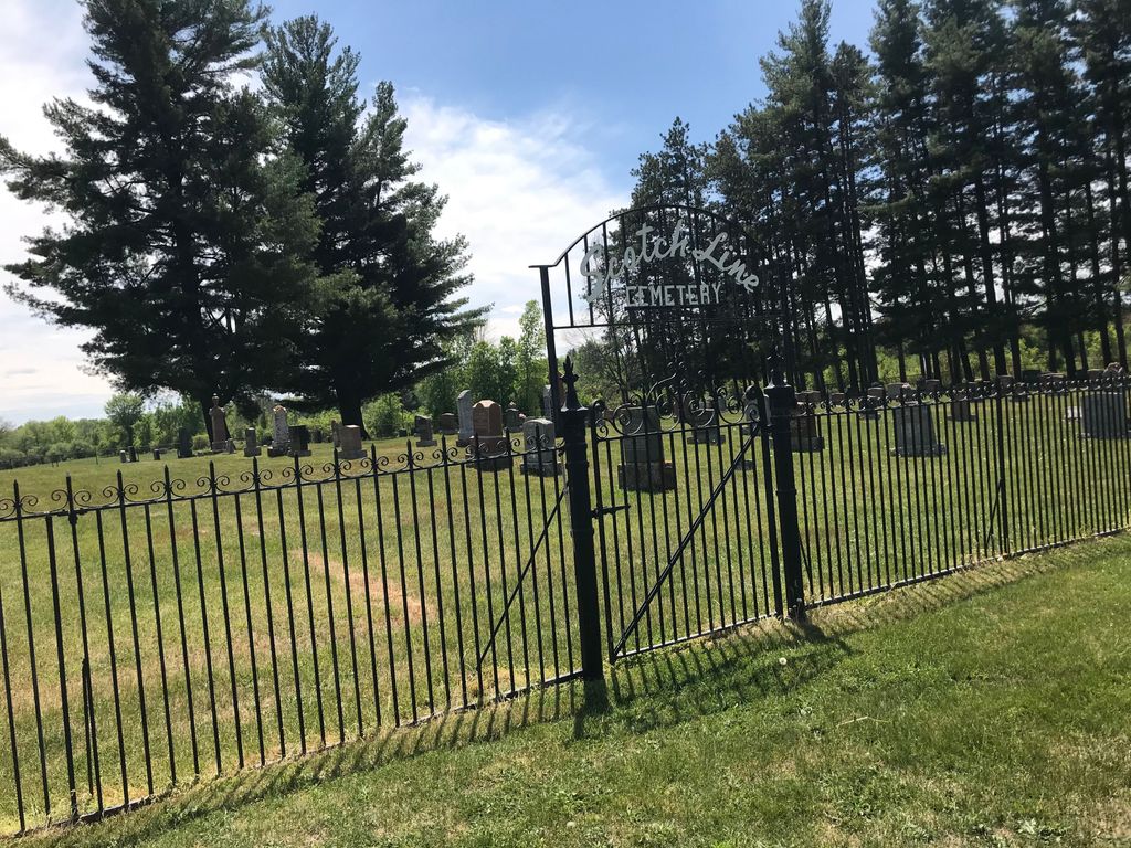
| Description | : | Lot 12, Concession 10, Upper Scotch Line, North Burgess In 1886, a half-acre of land on the Upper Scotch Line passed hands from Gilbert Wilson and his wife Marian, to a group of men wishing to have a community cemetery. The cemetery trustees were John Wilson, Robert Allan and Robert Hendry. They purchased the half-acre for $75. Although the land was not officially a cemetery until 1886, around ten people had been buried there previous to the purchase. In the same year as its purchase, the Scotch Line Cemetery had its first official burial. The man's name was Mr.... Read More |
frequently asked questions (FAQ):
-
Where is Scotch Line Cemetery?
Scotch Line Cemetery is located at 513 Upper Scotch Line Scotch Line, Lanark County ,Ontario ,Canada.
-
Scotch Line Cemetery cemetery's updated grave count on graveviews.com?
18 memorials
-
Where are the coordinates of the Scotch Line Cemetery?
Latitude: 44.8397000
Longitude: -76.3219100
Nearby Cemetories:
1. Saint Bridget's Cemetery
Stanleyville, Lanark County, Canada
Coordinate: 44.8048900, -76.3153700
2. Olde Burying Site
Bathurst, Lanark County, Canada
Coordinate: 44.8682970, -76.2904380
3. Saint Stephen's Anglican Cemetery
Brooke, Lanark County, Canada
Coordinate: 44.8620605, -76.4229584
4. Brooke Methodist Cemetery
Brooke, Lanark County, Canada
Coordinate: 44.8591537, -76.4263916
5. Saint John the Baptist Catholic Church
Perth, Lanark County, Canada
Coordinate: 44.8952293, -76.2466666
6. Saint Bridget's Catholic Church Cemetery (Defunct)
Perth, Lanark County, Canada
Coordinate: 44.8998300, -76.2447800
7. Old Burying Ground
Perth, Lanark County, Canada
Coordinate: 44.8990040, -76.2405260
8. Saint Paul's United Church Cemetery
Perth, Lanark County, Canada
Coordinate: 44.8963120, -76.2363810
9. McVeigh Cemetery
Bathurst, Lanark County, Canada
Coordinate: 44.8968580, -76.4134040
10. Elmwood Cemetery
Perth, Lanark County, Canada
Coordinate: 44.9152500, -76.2622600
11. Saint John's Parish Cemetery
Perth, Lanark County, Canada
Coordinate: 44.9055700, -76.2316700
12. Millar Brooke Farm Cemetery
Lanark County, Canada
Coordinate: 44.8791300, -76.1973330
13. Rideau Ferry Cemetery
Rideau Ferry, Lanark County, Canada
Coordinate: 44.8568700, -76.1634000
14. Campbell Cemetery
Perth, Lanark County, Canada
Coordinate: 44.9241486, -76.1950183
15. Campbell's Cemetery
Balderson, Lanark County, Canada
Coordinate: 44.9634420, -76.2879760
16. Rokeby Anglican Cemetery
South Sherbrooke, Lanark County, Canada
Coordinate: 44.8564244, -76.5140888
17. Pinehurst Cemetery
Playfairville, Lanark County, Canada
Coordinate: 44.9748260, -76.4146990
18. Saint James Anglican Cemetery
Port Elmsley, Lanark County, Canada
Coordinate: 44.8917210, -76.1153860
19. Bolingbroke Cemetery
Bolingbroke, Lanark County, Canada
Coordinate: 44.7615600, -76.5231900
20. Lombardy Methodist Cemetery
Lombardy, Leeds and Grenville United Counties, Canada
Coordinate: 44.8205630, -76.0932530
21. Maberly United Church Cemetery
Maberly, Lanark County, Canada
Coordinate: 44.8490700, -76.5536900
22. Polk Family Cemetery
Portland, Leeds and Grenville United Counties, Canada
Coordinate: 44.7272080, -76.1521370
23. Blessed Sacrament Cemetery
Lombardy, Leeds and Grenville United Counties, Canada
Coordinate: 44.8232500, -76.0866200
24. Holy Trinity Anglican Cemetery
Lombardy, Leeds and Grenville United Counties, Canada
Coordinate: 44.8227720, -76.0861150


