| Memorials | : | 0 |
| Location | : | Marion, Perry County, USA |
| Phone | : | 334-683-6562 |
| Coordinate | : | 32.6361008, -87.3189011 |
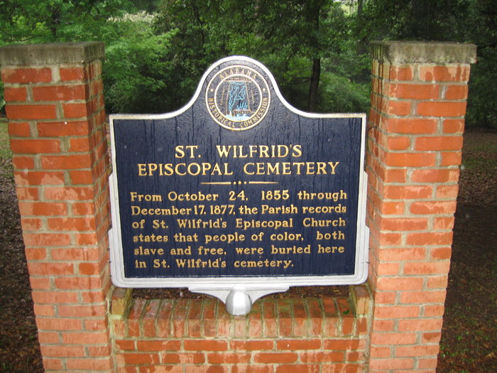
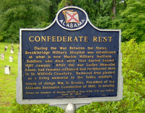
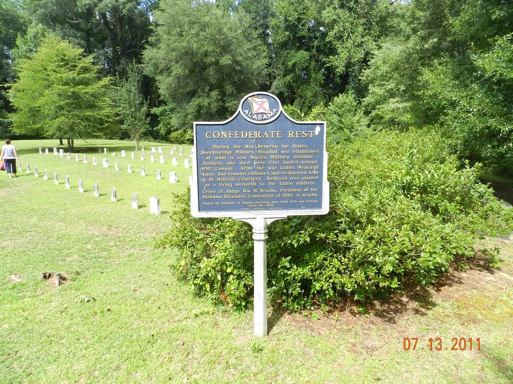
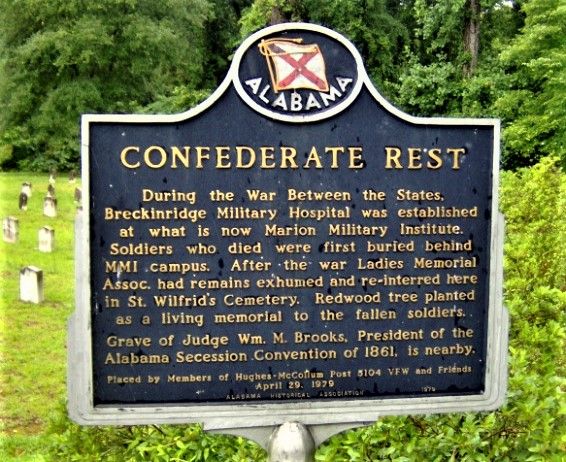
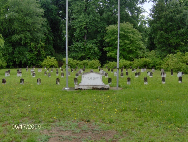
| Description | : | From October 24, 1855 through December 17, 1877, the Parrish records of St. Wilfrid's Episcopal Church state that people of color, both slave and free, were buried in St. Wilfrid's Cemetery. Located behind the church, the historic cemetery contains, among others, 77 graves of soldiers who died at the Breckenridge Hospital on Howard College campus (now the Marion Military Institute campus). The soldiers were originally buried behind the campus. The Ladies Memorial Association moved them to this site in 1872. Also buried here is William M. Brooks, President of the Alabama Secession Convention of 1861. The cemetery was originally established... Read More |
frequently asked questions (FAQ):
-
Where is Saint Wilfrids Cemetery?
Saint Wilfrids Cemetery is located at 104 Clements Street Marion, Perry County ,Alabama , 36756USA.
-
Saint Wilfrids Cemetery cemetery's updated grave count on graveviews.com?
0 memorials
-
Where are the coordinates of the Saint Wilfrids Cemetery?
Latitude: 32.6361008
Longitude: -87.3189011
Nearby Cemetories:
1. Marion Cemetery
Marion, Perry County, USA
Coordinate: 32.6333008, -87.3143997
2. Mount Nebo Cemetery
Marion, Perry County, USA
Coordinate: 32.6664009, -87.3106003
3. Pinecrest Memorial Cemetery
Marion, Perry County, USA
Coordinate: 32.6032982, -87.3063965
4. Scarborough Cemetery
Marion, Perry County, USA
Coordinate: 32.6618996, -87.2889023
5. Simpson Chapel Cemetery
Marion, Perry County, USA
Coordinate: 32.6323230, -87.2688870
6. Heard Cemetery
Marion, Perry County, USA
Coordinate: 32.6577988, -87.2731018
7. Old Heard Family Cemetery
Marion, Perry County, USA
Coordinate: 32.6580440, -87.2731900
8. Friendship Cemetery
Zimmerman, Perry County, USA
Coordinate: 32.5903015, -87.3386002
9. Bethel Church Cemetery
Marion, Perry County, USA
Coordinate: 32.5905140, -87.3403860
10. Oakes Gravesite
Perry County, USA
Coordinate: 32.5908089, -87.3446732
11. Mars Hill Cemetery
Perry County, USA
Coordinate: 32.6058006, -87.2636032
12. Mount Ararat Baptist Church Cemetery
Marion, Perry County, USA
Coordinate: 32.5810120, -87.3092290
13. Coles Chapel Cemetery
Perry County, USA
Coordinate: 32.5735700, -87.3435400
14. Hopewell Baptist Church Cemetery
Marion, Perry County, USA
Coordinate: 32.6425018, -87.4056015
15. Morning Star Cemetery
Marion, Perry County, USA
Coordinate: 32.6705300, -87.3969180
16. Eagle Grove Baptist Church Cemetery
Marion, Perry County, USA
Coordinate: 32.5559550, -87.3221000
17. Poole Family Cemetery
Marion, Perry County, USA
Coordinate: 32.5638283, -87.2712895
18. Kynard Cemetery
Marion, Perry County, USA
Coordinate: 32.5734830, -87.2528500
19. Union Baptist Church Cemetery
Marion, Perry County, USA
Coordinate: 32.7205480, -87.3321290
20. Marietta Church Cemetery
Marion, Perry County, USA
Coordinate: 32.7150380, -87.2772950
21. Trigg Family Graveyard
Perry County, USA
Coordinate: 32.5579700, -87.2653200
22. Turner Cemetery
Perry County, USA
Coordinate: 32.6866989, -87.4100037
23. Fairview Cemetery
Marion, Perry County, USA
Coordinate: 32.6561012, -87.4297028
24. Barron-Wells Cemetery
Perry County, USA
Coordinate: 32.6453018, -87.2024994

