| Memorials | : | 177 |
| Location | : | Lower Salem, Washington County, USA |
| Coordinate | : | 39.5480003, -81.3970032 |
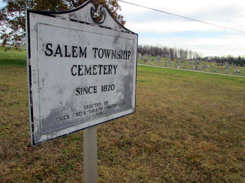
| Description | : | The cemetery is located on the side of Old Planck Road (Ohio State Route 821) about 0.8 miles north of its intersection with Germantown Road (County Road 15). The cemetery was established in 1820. The cemetery is located in Salem Township, Washington County, Ohio, and is # 12523 (Lower Salem Cemetery / Salem Township Cemetery / Universalist Cemetery) in “Ohio Cemeteries 1803-2003”, compiled by the Ohio Genealogical Society. The cemetery is registered with the Ohio Division of Real Estate and Professional Licensing (ODRE) as Hope Cemetery with registration license number CGR.0000980076. The U.S. Geological Survey (USGS) Geographic Names Information... Read More |
frequently asked questions (FAQ):
-
Where is Salem Township Cemetery?
Salem Township Cemetery is located at St Rte #821, Old Planck Rd Lower Salem, Washington County ,Ohio ,45745USA.
-
Salem Township Cemetery cemetery's updated grave count on graveviews.com?
153 memorials
-
Where are the coordinates of the Salem Township Cemetery?
Latitude: 39.5480003
Longitude: -81.3970032
Nearby Cemetories:
1. Porter Cemetery
Washington County, USA
Coordinate: 39.5617142, -81.4031525
2. Paw Paw Creek Cemetery
Lower Salem, Washington County, USA
Coordinate: 39.5483910, -81.3643440
3. Gerkin Cemetery
Bonn, Washington County, USA
Coordinate: 39.5263367, -81.3693390
4. Bonn Cemetery
Bonn, Washington County, USA
Coordinate: 39.5240440, -81.3691020
5. Brown-Beardmore Family Cemetery
Lowell, Washington County, USA
Coordinate: 39.5350730, -81.4430910
6. Tick Ridge Cemetery
Lower Salem, Washington County, USA
Coordinate: 39.5768250, -81.3642400
7. Good Hope Cemetery
Washington County, USA
Coordinate: 39.5623360, -81.4440540
8. Waxler Church Cemetery
Dalzell, Washington County, USA
Coordinate: 39.5417137, -81.3452606
9. Berg Cemetery
Washington County, USA
Coordinate: 39.5023003, -81.3979034
10. Flanders Cemetery
Washington County, USA
Coordinate: 39.5074997, -81.4285965
11. Paw Paw Cemetery
Germantown, Washington County, USA
Coordinate: 39.5682980, -81.3378500
12. Mount Ephraim Cemetery
Washington County, USA
Coordinate: 39.5956940, -81.3766390
13. David Jackson Cemetery
Washington County, USA
Coordinate: 39.5735092, -81.4575729
14. Highland Ridge Cemetery
Lowell, Washington County, USA
Coordinate: 39.5160942, -81.4581757
15. Scott Ridge Cemetery
Gasville, Washington County, USA
Coordinate: 39.5436325, -81.3218307
16. Koon Cemetery
Germantown, Washington County, USA
Coordinate: 39.5718231, -81.3277512
17. Pleasant Hill United Methodist Church Cemetery
Washington County, USA
Coordinate: 39.5103516, -81.3381728
18. Mossberg Cemetery
Dalzell, Washington County, USA
Coordinate: 39.5528340, -81.3179030
19. Ludwig Cemetery
Washington County, USA
Coordinate: 39.4991989, -81.3463974
20. Epler Cemetery
Gasville, Washington County, USA
Coordinate: 39.5252304, -81.3166809
21. Stephens Cemetery
Harriettsville, Noble County, USA
Coordinate: 39.6141170, -81.3736270
22. Smith Ridge Cemetery
Macksburg, Washington County, USA
Coordinate: 39.6073723, -81.4421234
23. Hill Grove Cemetery
Adams Township, Washington County, USA
Coordinate: 39.5922000, -81.4700000
24. Liberty Hill Cemetery
Adams Township, Washington County, USA
Coordinate: 39.5922000, -81.4700000


