
| Memorials | : | 16 |
| Location | : | New Richmond, Clermont County, USA |
| Coordinate | : | 38.9621670, -84.2761000 |
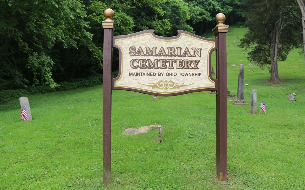
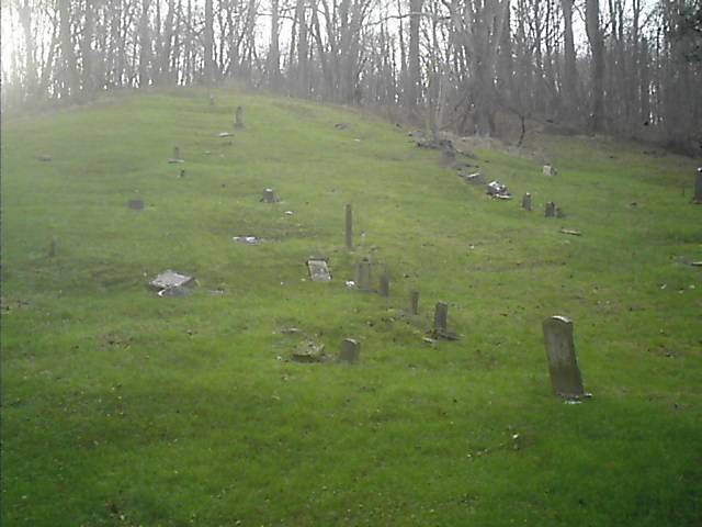
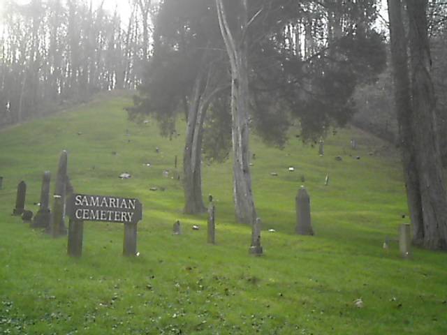
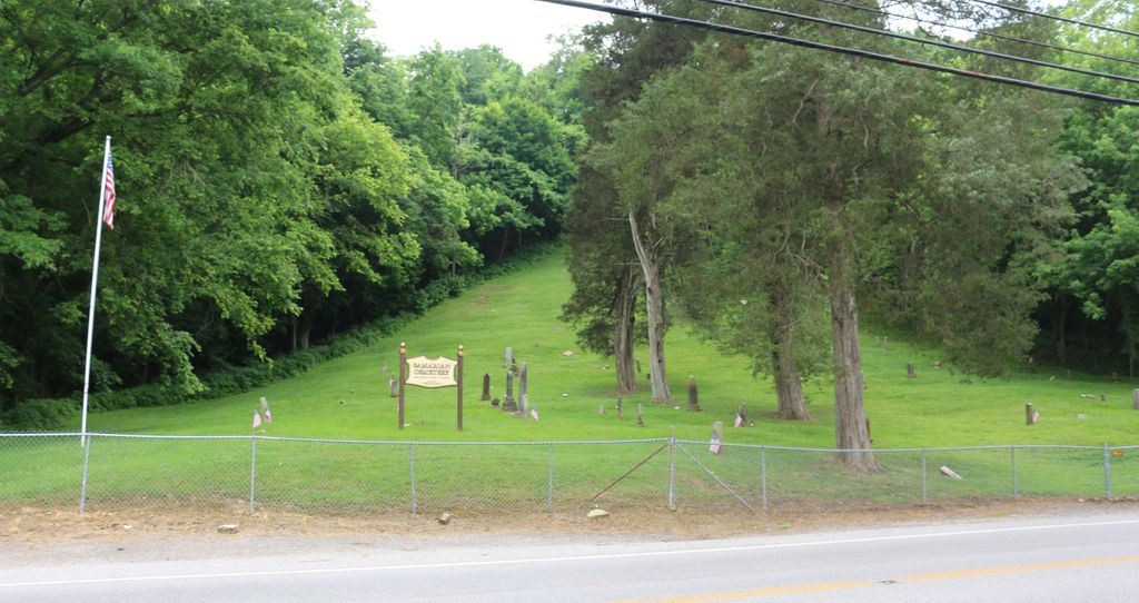
| Description | : | The cemetery is located north of New Richmond on the east side of Ohio State Route 132 about 0.7 miles north of its intersection with the Ohio River Scenic Byway (US 52) and is currently maintained by the Ohio Township trustees. The cemetery is located on a steep hillside and is believed to have only Afro-American burials. There is a pull-off in front of the cemetery large enough for a single vehicle. Another larger pull-off is across from the cemetery of the west side of the roadway. The cemetery is located in Ohio Township, Clermont County, Ohio, and is # 14495... Read More |
frequently asked questions (FAQ):
-
Where is Samarian Cemetery?
Samarian Cemetery is located at Ohio State Route 132 New Richmond, Clermont County ,Ohio , 45157USA.
-
Samarian Cemetery cemetery's updated grave count on graveviews.com?
13 memorials
-
Where are the coordinates of the Samarian Cemetery?
Latitude: 38.9621670
Longitude: -84.2761000
Nearby Cemetories:
1. Light-Springer Cemetery
New Richmond, Clermont County, USA
Coordinate: 38.9612070, -84.2748170
2. Citizens Cemetery
New Richmond, Clermont County, USA
Coordinate: 38.9605103, -84.2806320
3. Warren Cemetery
New Richmond, Clermont County, USA
Coordinate: 38.9648132, -84.2716599
4. Old Town Cemetery
New Richmond, Clermont County, USA
Coordinate: 38.9595604, -84.2857895
5. Atkinson Cemetery
New Richmond, Clermont County, USA
Coordinate: 38.9688600, -84.2839640
6. Watkins Hill Cemetery
New Richmond, Clermont County, USA
Coordinate: 38.9510994, -84.2707977
7. Saint Peters Cemetery
New Richmond, Clermont County, USA
Coordinate: 38.9702988, -84.2613983
8. Goble Cemetery
New Richmond, Clermont County, USA
Coordinate: 38.9702339, -84.2589035
9. Moreland Cemetery
New Richmond, Clermont County, USA
Coordinate: 38.9646988, -84.2525024
10. Greenmound Cemetery
New Richmond, Clermont County, USA
Coordinate: 38.9435997, -84.2703018
11. James Lindsey Cemetery
California, Campbell County, USA
Coordinate: 38.9453680, -84.2926330
12. Rardin Cemetery
Carthage, Campbell County, USA
Coordinate: 38.9409500, -84.3002900
13. Collard Cemetery
Clermontville, Clermont County, USA
Coordinate: 38.9317861, -84.2624250
14. Tarvin-Moore Cemetery
Carthage, Campbell County, USA
Coordinate: 38.9328070, -84.2974950
15. Alexander Robb Cemetery
Monroe Township, Clermont County, USA
Coordinate: 38.9582330, -84.2329500
16. Ball Family Graveyard
California, Campbell County, USA
Coordinate: 38.9276670, -84.2864170
17. Old Mount Gilead Cemetery
Carthage, Campbell County, USA
Coordinate: 38.9356030, -84.3099730
18. Donham Family Cemetery
Pierce Township, Clermont County, USA
Coordinate: 38.9976520, -84.2580560
19. Willard Neal Farm Cemetery
Alexandria, Campbell County, USA
Coordinate: 38.9571660, -84.3254490
20. Mount Gilead Methodist Evangelical Church Cemetery
Carthage, Campbell County, USA
Coordinate: 38.9342430, -84.3111630
21. Dunlap Grave
California, Campbell County, USA
Coordinate: 38.9223520, -84.2742330
22. Carmack Cemetery
Carthage, Campbell County, USA
Coordinate: 38.9582510, -84.3272630
23. Franklin Cemetery
Laurel, Clermont County, USA
Coordinate: 38.9455700, -84.2278600
24. Shaw Cemetery
New Richmond, Clermont County, USA
Coordinate: 38.9572670, -84.2236000