
| Memorials | : | 45 |
| Location | : | Carthage, Campbell County, USA |
| Coordinate | : | 38.9342430, -84.3111630 |
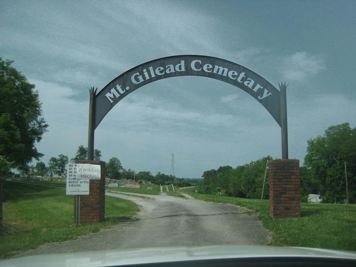
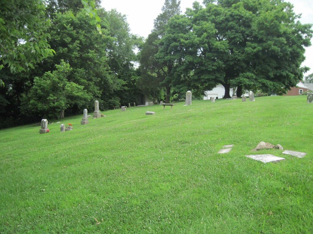
| Description | : | Mount Gilead Methodist Evangelical Church Cemetery is also known as the Carthage United Methodist Church Cemetery. The church was established on February 12, 1844 by Elijah and Catherine Herndon. The cemetery is located on the south side of Carthage Road (Kentucky State Highway 1996) about 0.1 mile east of its intersection with AA Highway (Kentucky State Highway 9). |
frequently asked questions (FAQ):
-
Where is Mount Gilead Methodist Evangelical Church Cemetery?
Mount Gilead Methodist Evangelical Church Cemetery is located at 3427 Carthage Road Carthage, Campbell County ,Kentucky , 41007USA.
-
Mount Gilead Methodist Evangelical Church Cemetery cemetery's updated grave count on graveviews.com?
44 memorials
-
Where are the coordinates of the Mount Gilead Methodist Evangelical Church Cemetery?
Latitude: 38.9342430
Longitude: -84.3111630
Nearby Cemetories:
1. Old Mount Gilead Cemetery
Carthage, Campbell County, USA
Coordinate: 38.9356030, -84.3099730
2. Tarvin-Moore Cemetery
Carthage, Campbell County, USA
Coordinate: 38.9328070, -84.2974950
3. Rardin Cemetery
Carthage, Campbell County, USA
Coordinate: 38.9409500, -84.3002900
4. James Lindsey Cemetery
California, Campbell County, USA
Coordinate: 38.9453680, -84.2926330
5. Ball Family Graveyard
California, Campbell County, USA
Coordinate: 38.9276670, -84.2864170
6. Herndon-Bartlow Family Cemetery
Carthage, Campbell County, USA
Coordinate: 38.9155556, -84.3305556
7. Willard Neal Farm Cemetery
Alexandria, Campbell County, USA
Coordinate: 38.9571660, -84.3254490
8. Carmack Cemetery
Carthage, Campbell County, USA
Coordinate: 38.9582510, -84.3272630
9. Corbin Family Cemetery
Carthage, Campbell County, USA
Coordinate: 38.9168500, -84.2828330
10. Dunlap Grave
California, Campbell County, USA
Coordinate: 38.9223520, -84.2742330
11. Old Town Cemetery
New Richmond, Clermont County, USA
Coordinate: 38.9595604, -84.2857895
12. Greenmound Cemetery
New Richmond, Clermont County, USA
Coordinate: 38.9435997, -84.2703018
13. Citizens Cemetery
New Richmond, Clermont County, USA
Coordinate: 38.9605103, -84.2806320
14. Watkins Hill Cemetery
New Richmond, Clermont County, USA
Coordinate: 38.9510994, -84.2707977
15. Cherry Family Cemetery
Persimmon Grove, Campbell County, USA
Coordinate: 38.9101700, -84.3451110
16. Collard Cemetery
Clermontville, Clermont County, USA
Coordinate: 38.9317861, -84.2624250
17. Samarian Cemetery
New Richmond, Clermont County, USA
Coordinate: 38.9621670, -84.2761000
18. Light-Springer Cemetery
New Richmond, Clermont County, USA
Coordinate: 38.9612070, -84.2748170
19. Stephens Farm Cemetery
Alexandria, Campbell County, USA
Coordinate: 38.9566350, -84.3528650
20. Atkinson Cemetery
New Richmond, Clermont County, USA
Coordinate: 38.9688600, -84.2839640
21. Persimmon Grove Cemetery
Persimmon Grove, Campbell County, USA
Coordinate: 38.9011500, -84.3444700
22. Warren Cemetery
New Richmond, Clermont County, USA
Coordinate: 38.9648132, -84.2716599
23. Robert Shaw Family Cemetery
Alexandria, Campbell County, USA
Coordinate: 38.9623330, -84.3635670
24. Saint Peters Cemetery
New Richmond, Clermont County, USA
Coordinate: 38.9702988, -84.2613983