
| Memorials | : | 1 |
| Location | : | Panco, Clay County, USA |
| Coordinate | : | 37.2494500, -83.5366500 |
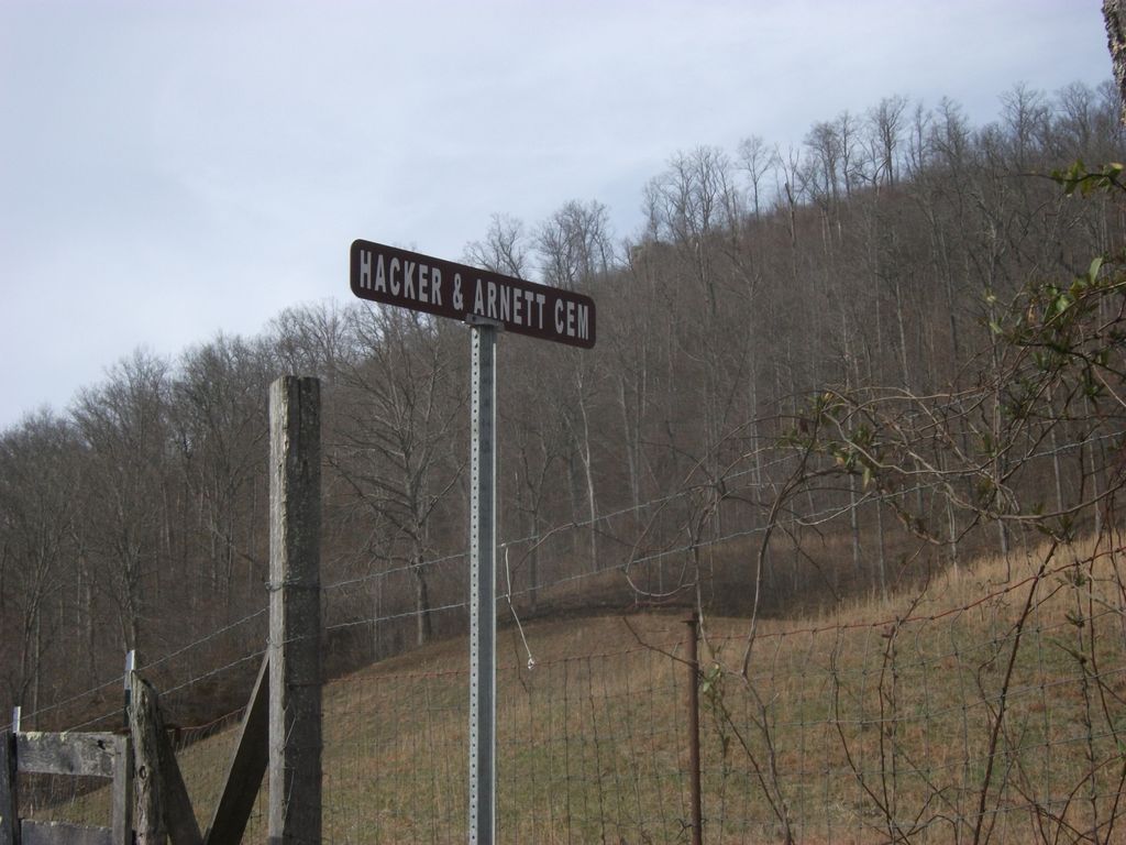
| Description | : | From Oneida, go east on Hwy 1482 to the Napier and Bowling Cemetery on the left side of the road. The Hacker Cemetery is just to the left and up on the hill. Directions courtesy of Robert Torbert. |
frequently asked questions (FAQ):
-
Where is Samuel Hacker Cemetery?
Samuel Hacker Cemetery is located at Panco, Clay County ,Kentucky ,USA.
-
Samuel Hacker Cemetery cemetery's updated grave count on graveviews.com?
1 memorials
-
Where are the coordinates of the Samuel Hacker Cemetery?
Latitude: 37.2494500
Longitude: -83.5366500
Nearby Cemetories:
1. Napier-Bowling Cemetery
Panco, Clay County, USA
Coordinate: 37.2487200, -83.5361100
2. Haystack Cemetery
Panco, Clay County, USA
Coordinate: 37.2426200, -83.5304300
3. Fred Burns Cemetery
Panco, Clay County, USA
Coordinate: 37.2410900, -83.5313100
4. Fairview Cemetery
Panco, Clay County, USA
Coordinate: 37.2461500, -83.5598900
5. Couchtown Cemetery
Buckhorn, Perry County, USA
Coordinate: 37.2648290, -83.5146030
6. John Gay Cemetery
Whoopflarea, Owsley County, USA
Coordinate: 37.2717000, -83.5265000
7. Sim Barnes Cemetery
Sizerock, Leslie County, USA
Coordinate: 37.2198010, -83.5098530
8. Bige Barnes Family Cemetery
Sizerock, Leslie County, USA
Coordinate: 37.2155650, -83.5005960
9. Burns-Davidson Cemetery
Brutus, Clay County, USA
Coordinate: 37.2461100, -83.5948400
10. Gibson Branch Cemetery
Sizerock, Leslie County, USA
Coordinate: 37.2092700, -83.5012090
11. Gibson Branch Cemetery #02
Sizerock, Leslie County, USA
Coordinate: 37.2090680, -83.5013590
12. Little Bullskin Cemetery
Brutus, Clay County, USA
Coordinate: 37.2732600, -83.5908800
13. R H Davidson Cemetery
Oneida, Clay County, USA
Coordinate: 37.2517600, -83.5994800
14. Allen-Woods-Ohmit Family Cemetery
Leslie County, USA
Coordinate: 37.2105070, -83.4880690
15. Henry Gilbert Cemetery
Doorway, Perry County, USA
Coordinate: 37.3045200, -83.5400700
16. Gibson Family Cemetery
Big Creek, Clay County, USA
Coordinate: 37.2137900, -83.5970800
17. Vernon Burns Family Cemetery
Oneida, Clay County, USA
Coordinate: 37.2503360, -83.6164050
18. L H Burns Cemetery
Oneida, Clay County, USA
Coordinate: 37.2571100, -83.6164300
19. Flatwoods Cemetery
Spurlock, Clay County, USA
Coordinate: 37.2260100, -83.6114500
20. Andrew Burns Cemetery
Oneida, Clay County, USA
Coordinate: 37.2561400, -83.6216500
21. Lucy Angel Cemetery
Buckhorn, Perry County, USA
Coordinate: 37.3189011, -83.5408020
22. Burns Cemetery
Oneida, Clay County, USA
Coordinate: 37.2721200, -83.6241500
23. William C Gilbert Cemetery
Spurlock, Clay County, USA
Coordinate: 37.2218800, -83.6235500
24. Roberts Cemetery
Bear Branch, Leslie County, USA
Coordinate: 37.1747300, -83.5329500