| Memorials | : | 3 |
| Location | : | Gonzales Ranch, San Miguel County, USA |
| Coordinate | : | 35.2403620, -105.4591370 |
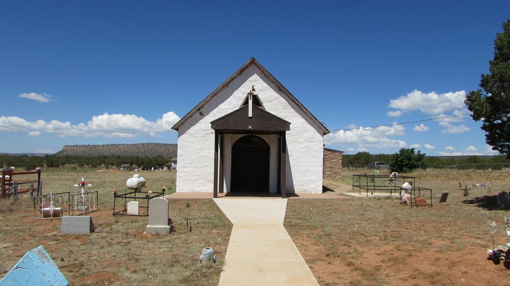
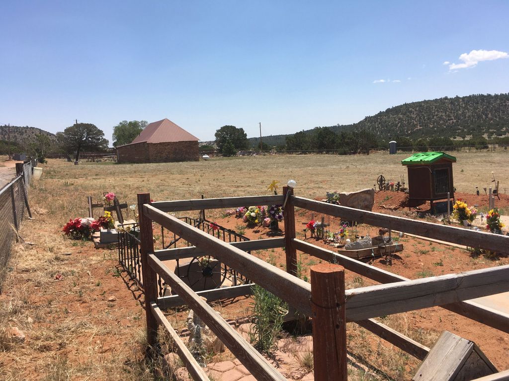
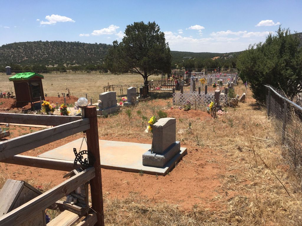
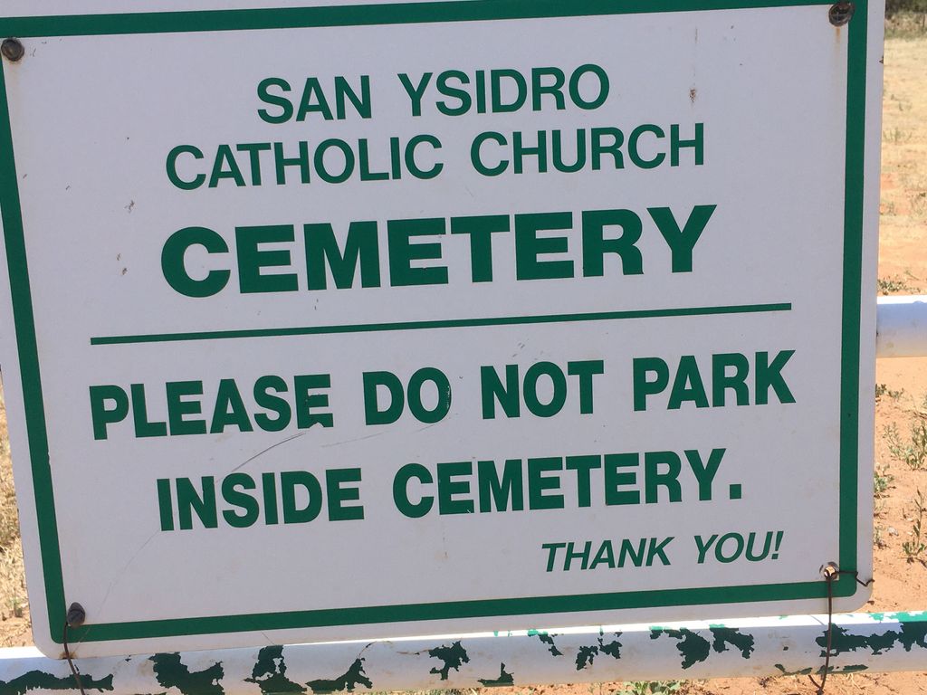
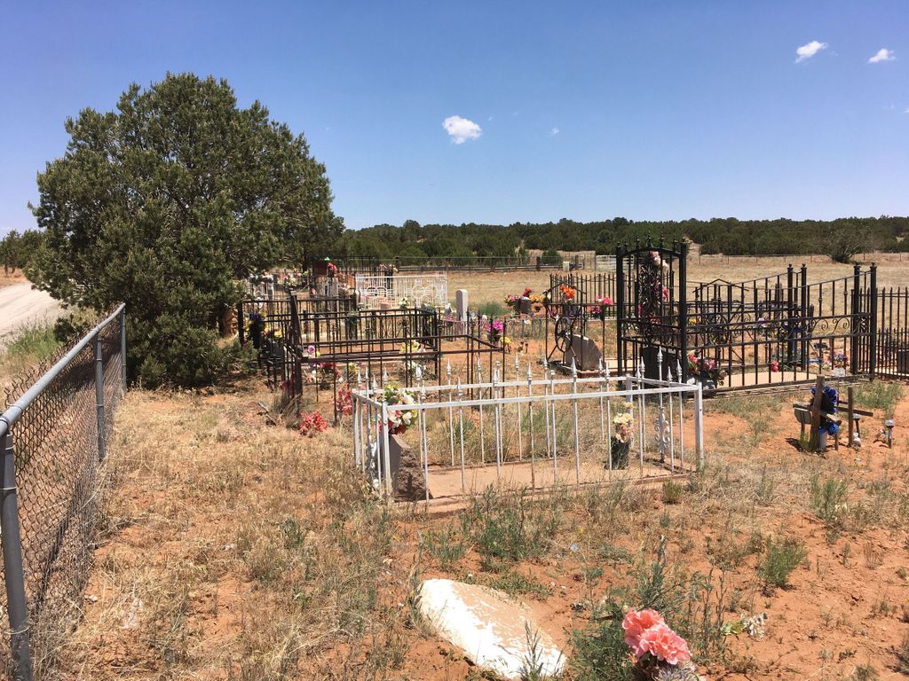
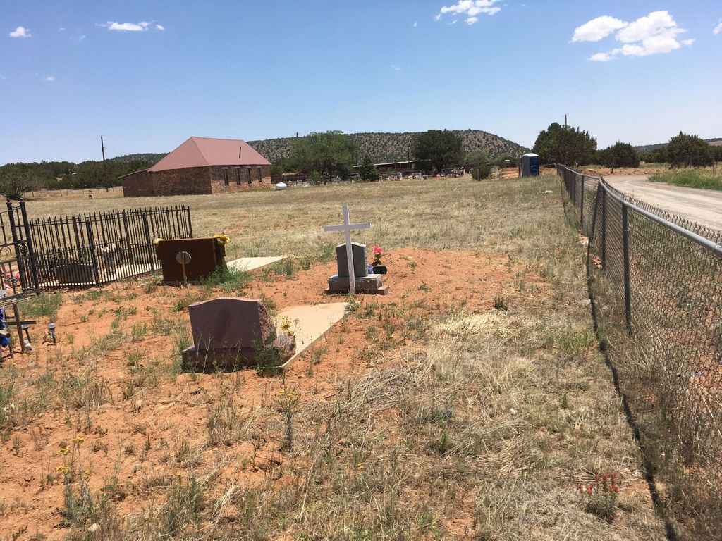
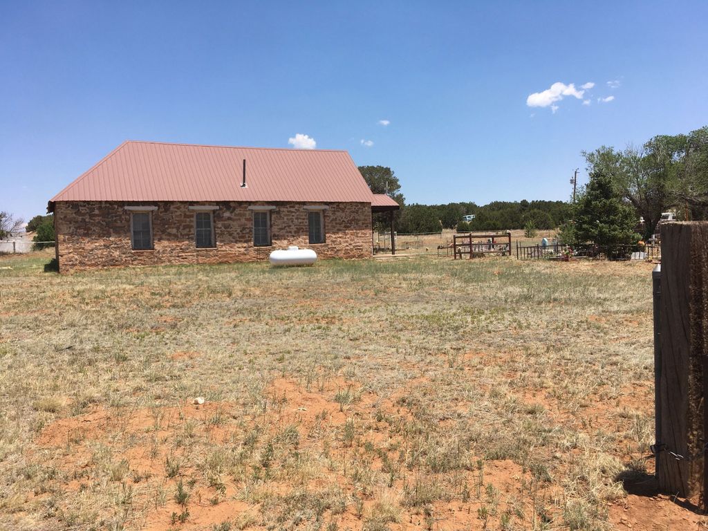
| Description | : | The sign on the gate on the N side of the cemetery indicates the it's known as San Ysidro Catholic Church Cemetery. Online maps indicate the name of the church is Santa Teresita, although we saw no on-site indication of the name of the church, in the cemetery or on the church building. The cemetery comprises about three acres in a rectangular shape running E-W. Easiest access is from I-25 south along State Hiway 3, then SW on County Road B31A. When we visited in June 2020 the community appeared to be actively involved in the... Read More |
frequently asked questions (FAQ):
-
Where is San Isidro de Labador Church Cemetery?
San Isidro de Labador Church Cemetery is located at Gonzales Ranch, San Miguel County ,New Mexico ,USA.
-
San Isidro de Labador Church Cemetery cemetery's updated grave count on graveviews.com?
3 memorials
-
Where are the coordinates of the San Isidro de Labador Church Cemetery?
Latitude: 35.2403620
Longitude: -105.4591370
Nearby Cemetories:
1. Nuestro Señor de Esquipula Cemetery
Sena, San Miguel County, USA
Coordinate: 35.3007460, -105.3903520
2. Our Lady of Guadalupe Cemetery
Villanueva, San Miguel County, USA
Coordinate: 35.2657720, -105.3615920
3. Villanueva Cemetery
Villanueva, San Miguel County, USA
Coordinate: 35.2682460, -105.3594740
4. La Fragua Cemetery
La Fragua, San Miguel County, USA
Coordinate: 35.3186500, -105.4083200
5. Nuestra Senora de Talpa Cemetery
Villanueva, San Miguel County, USA
Coordinate: 35.2658770, -105.3519640
6. San Francisco Cemetery
San Miguel County, USA
Coordinate: 35.2129900, -105.5708100
7. San Antonio De Padua Catholic Church Cemetery
Upper Pueblo, San Miguel County, USA
Coordinate: 35.3340000, -105.4304100
8. El Pueblo Cemetery
San Miguel County, USA
Coordinate: 35.3373260, -105.4322420
9. San Juan Cemetery
San Miguel County, USA
Coordinate: 35.1455994, -105.3649979
10. San Miguel Del Vado Church Cemetery
San Miguel, San Miguel County, USA
Coordinate: 35.3645600, -105.4506000
11. Nuestra Señora de Desamparados
El Cerrito, San Miguel County, USA
Coordinate: 35.2755970, -105.3115180
12. San Miguel Del Vado Cemetery
Ribera, San Miguel County, USA
Coordinate: 35.3683180, -105.4555140
13. El Cerrito Cemetery
El Cerrito, San Miguel County, USA
Coordinate: 35.2793260, -105.3043000
14. San Jose Cemetery Old
San Jose, San Miguel County, USA
Coordinate: 35.3928700, -105.4780700
15. San Jose Cemetery
San Jose, San Miguel County, USA
Coordinate: 35.3927620, -105.4803340
16. Santo Nino de Atocha Church Cemetery
San Miguel County, USA
Coordinate: 35.1258000, -105.3003000
17. Santa Rita Cemetery
Bernal, San Miguel County, USA
Coordinate: 35.3927770, -105.3181380
18. Rencona Cemetery
San Miguel County, USA
Coordinate: 35.3046989, -105.6806030
19. Tapia Cemetery
San Miguel County, USA
Coordinate: 35.1064430, -105.6619530
20. Lagunita Cemetery
Lagunita, San Miguel County, USA
Coordinate: 35.3657210, -105.2456630
21. Our Lady of Guadalupe Cemetery
South San Ysidro, San Miguel County, USA
Coordinate: 35.4495100, -105.5787500
22. South San Ysidro Cemetery
South San Ysidro, San Miguel County, USA
Coordinate: 35.4507900, -105.5762600
23. Sangre de Cristo Cemetery
San Miguel County, USA
Coordinate: 35.2173500, -105.1688100
24. Tecolotito Cemetery
Tecolotito, San Miguel County, USA
Coordinate: 35.2326800, -105.1623050

