| Memorials | : | 0 |
| Location | : | French Camp, San Joaquin County, USA |
| Phone | : | 209-468-6000 |
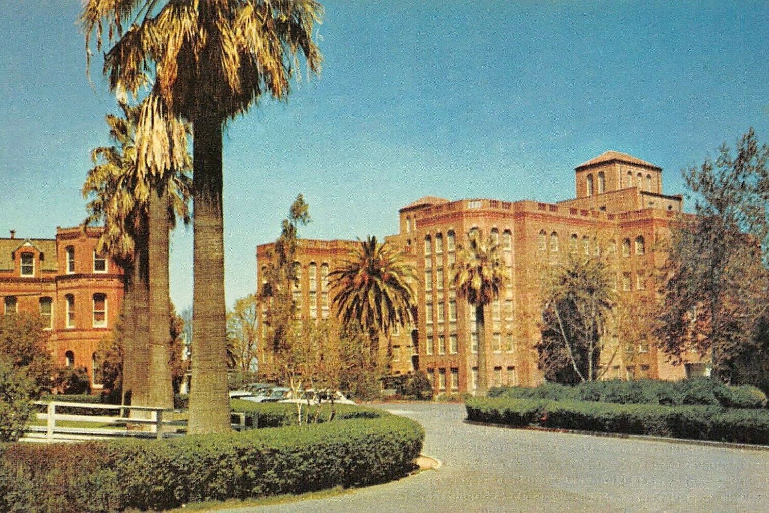
| Description | : | This cemetery was once used extensively for those who died at the San Joaquin County Hospital and who could not afford to be buried elsewhere. The cemetery cannot currently be located. No one at the county hospital has any idea where the cemetery was once located and the same is true for researchers at the San Joaquin County Historical Society. Over 2,000 people were buried in this cemetery. Perhaps, someday, the exact location will be discovered. |
frequently asked questions (FAQ):
-
Where is San Joaquin County Hospital Cemetery?
San Joaquin County Hospital Cemetery is located at No GPS information available Add GPS500 West Hospital Road French Camp, San Joaquin County ,California , 95231USA.
-
San Joaquin County Hospital Cemetery cemetery's updated grave count on graveviews.com?
0 memorials
Nearby Cemetories:
1. Drais Family Cemetery
Farmington, San Joaquin County, USA
Coordinate: 37.9762400, -121.2878000
2. Highland View Memorial Gardens
Farmington, San Joaquin County, USA
Coordinate: 37.9640541, -121.2784348
3. Old Brooks Farm Cemetery
Farmington, San Joaquin County, USA
Coordinate: 37.8819962, -121.2805862
4. Glen View Cemetery
Clements, San Joaquin County, USA
Coordinate: 37.8784065, -121.2740784
5. Old Mackville Cemetery
Clements, San Joaquin County, USA
Coordinate: 37.8778419, -121.2753067
6. Casa Bonita Mausoleum
Stockton, San Joaquin County, USA
Coordinate: 38.2350006, -121.2782974
7. Central United Methodist Church Columbarium
Stockton, San Joaquin County, USA
Coordinate: 38.2310250, -121.1725170
8. Citizens Cemetery
Stockton, San Joaquin County, USA
Coordinate: 38.1478004, -121.1755981
9. David Kelsey Gravesite
Stockton, San Joaquin County, USA
Coordinate: 38.1758003, -121.1616974
10. San Joaquin Catholic Cemetery
Stockton, San Joaquin County, USA
Coordinate: 38.1478400, -121.1752500
11. Stockton Rural Cemetery
Stockton, San Joaquin County, USA
Coordinate: 38.2341995, -121.1761017
12. Stockton State Hospital Cemetery
Stockton, San Joaquin County, USA
Coordinate: 37.7616997, -120.9593964
13. Stockton Woodland Mausoleum
Stockton, San Joaquin County, USA
Coordinate: 37.9762400, -121.2878000
14. Temple Israel Cemetery
Stockton, San Joaquin County, USA
Coordinate: 37.9640541, -121.2784348
15. Chinese Cemetery
French Camp, San Joaquin County, USA
Coordinate: 37.8819962, -121.2805862
16. Congregation Adas Yeshuran of Stockton Cemetery
French Camp, San Joaquin County, USA
Coordinate: 37.8784065, -121.2740784
17. Congregation of Ahavas Achim Cemetery
French Camp, San Joaquin County, USA
Coordinate: 37.8778419, -121.2753067
18. Liberty Cemetery
Acampo, San Joaquin County, USA
Coordinate: 38.2350006, -121.2782974
19. Fairbanks Ranch Cemetery
San Joaquin County, USA
Coordinate: 38.2310250, -121.1725170
20. Harmony Grove Cemetery
Lockeford, San Joaquin County, USA
Coordinate: 38.1478004, -121.1755981
21. Locke Cemetery
Lockeford, San Joaquin County, USA
Coordinate: 38.1758003, -121.1616974
22. Saint Joachim Catholic Cemetery
Lockeford, San Joaquin County, USA
Coordinate: 38.1478400, -121.1752500
23. Elliott Cemetery
San Joaquin County, USA
Coordinate: 38.2341995, -121.1761017
24. Burwood Cemetery
Escalon, San Joaquin County, USA
Coordinate: 37.7616997, -120.9593964

