
| Memorials | : | 1298 |
| Location | : | Santa Nella, Merced County, USA |
| Phone | : | (209) 854-1040 |
| Website | : | www.cem.va.gov/CEM/cems/nchp/sanjoaquinvalley.asp |
| Coordinate | : | 37.1198170, -121.0738000 |
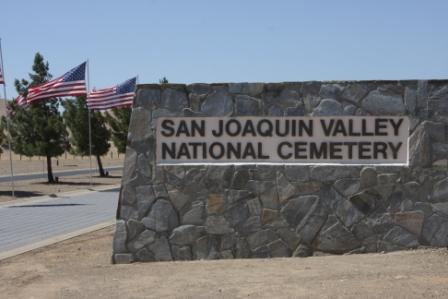
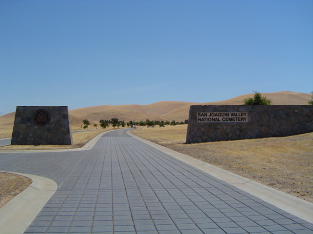
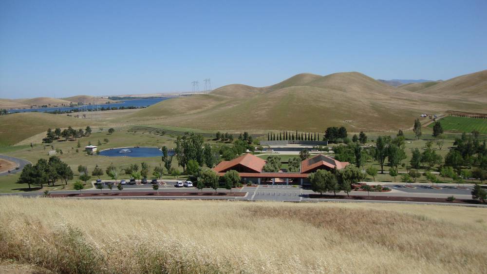
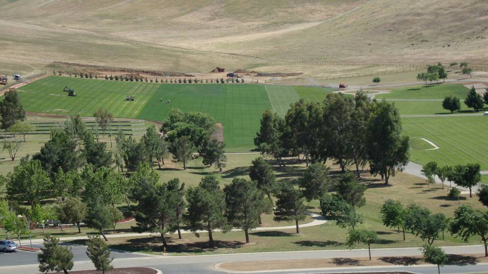
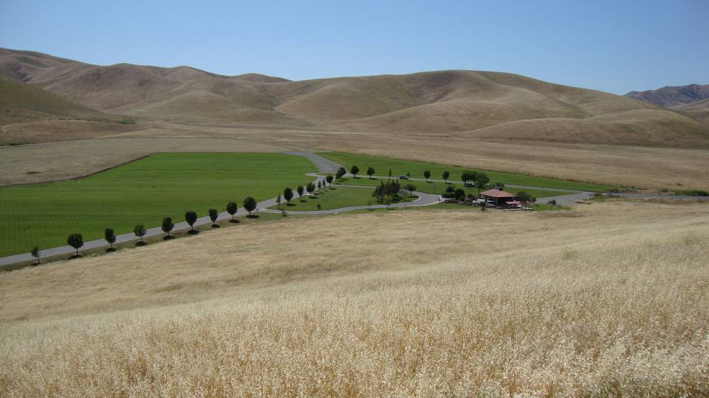
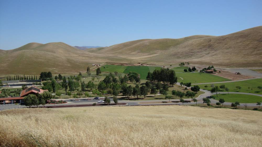
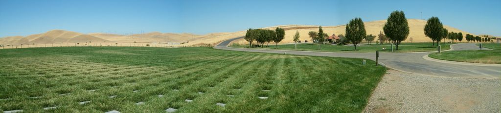
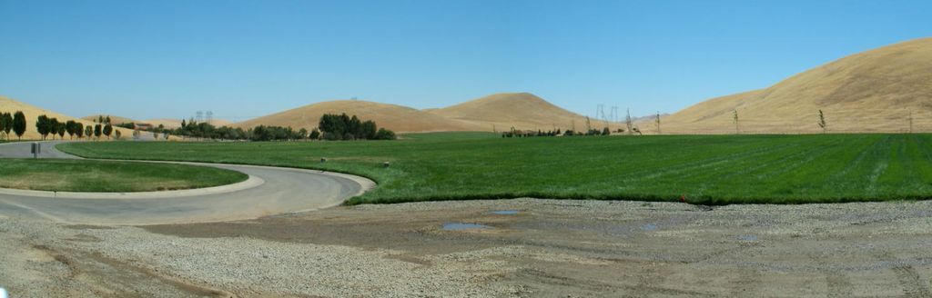
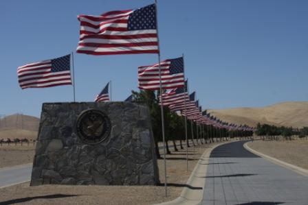
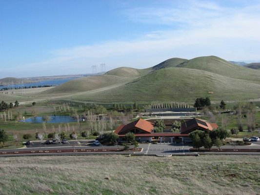
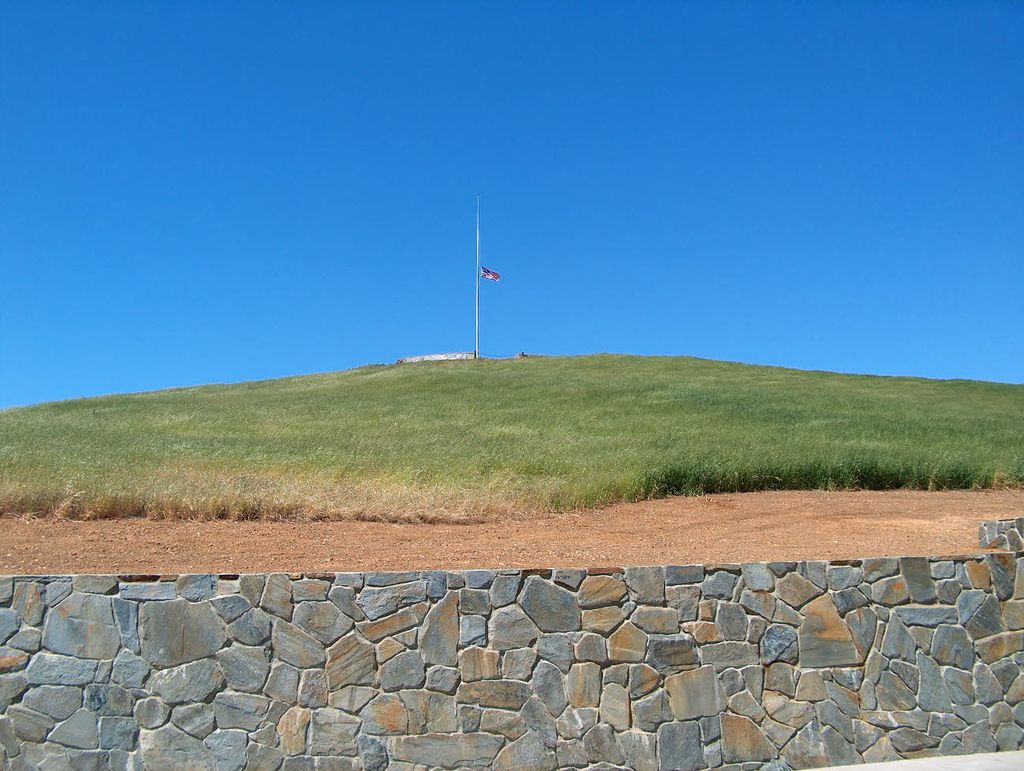
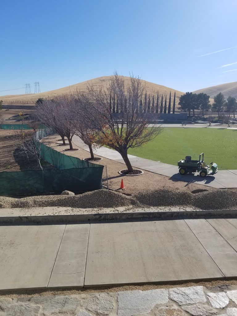
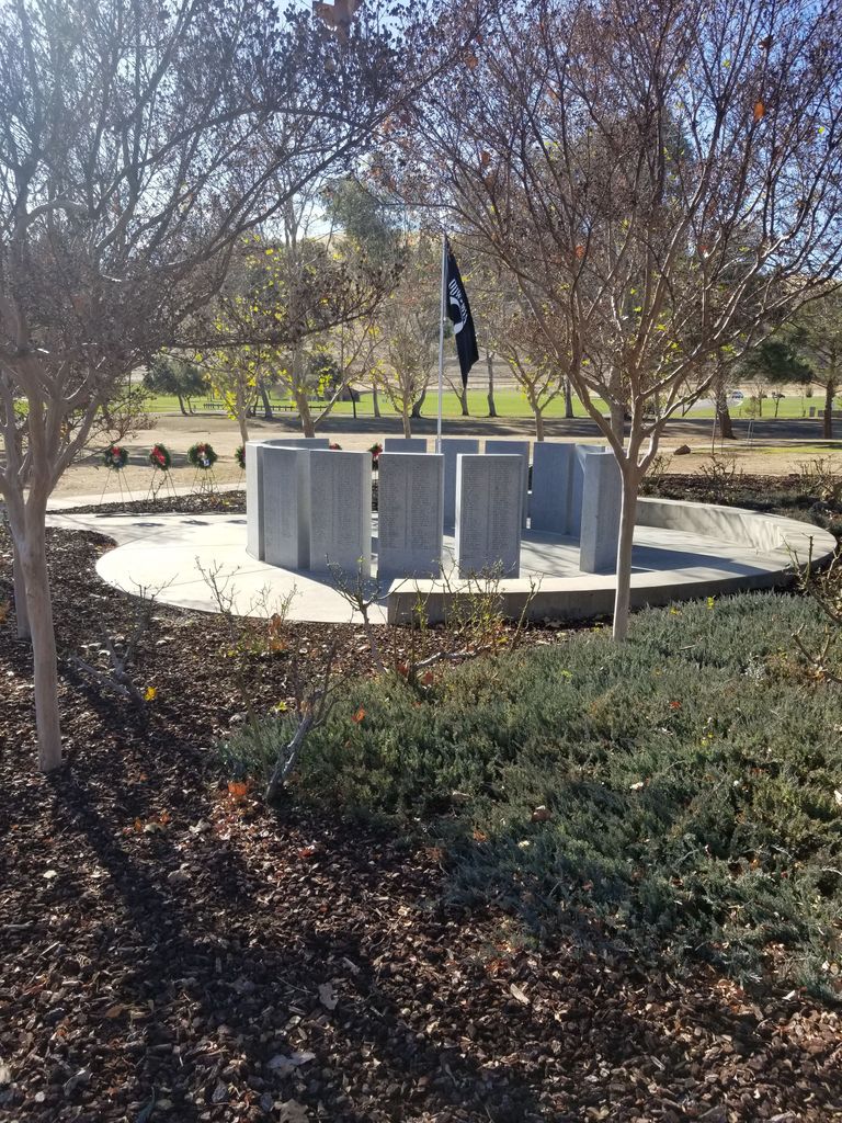
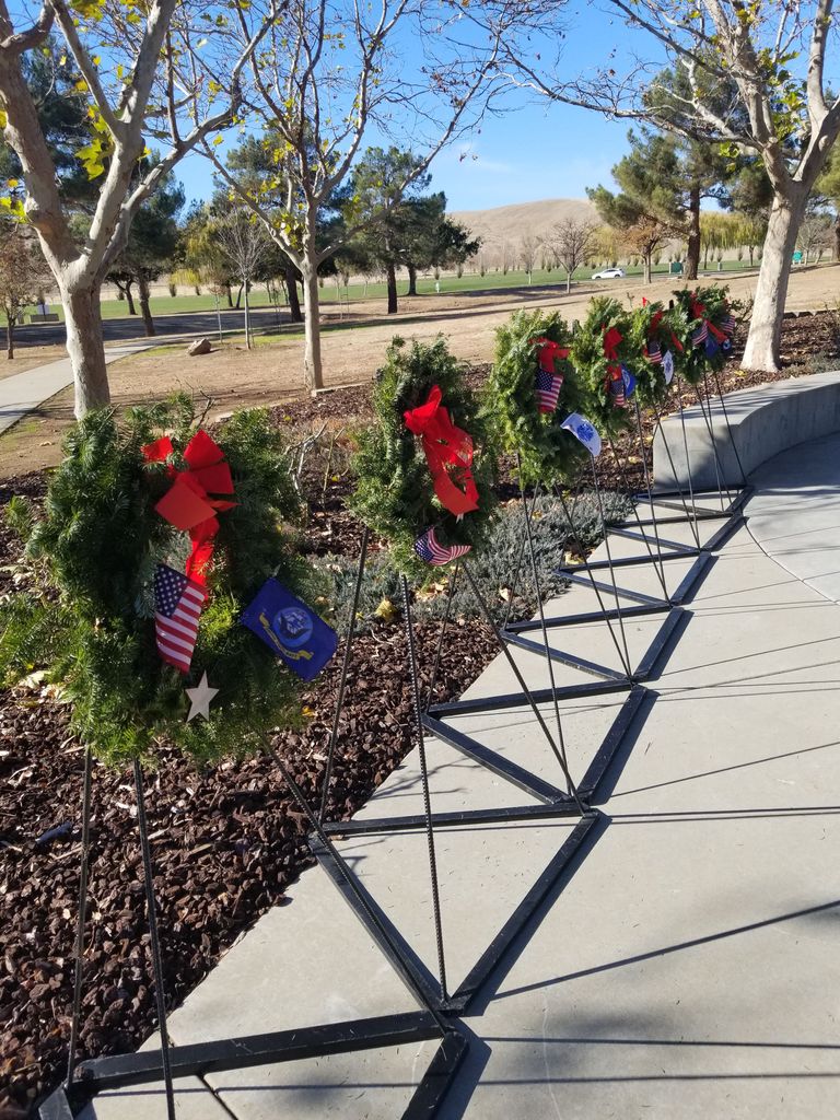
| Description | : | San Joaquin Valley National Cemetery was built on land donated by the Romero Ranch Company on Feb. 3, 1989. Construction of the 105 acre first phase began on July 15, 1990. The water-pumping station on the California Aqueduct, the last element of construction, was completed in May 1992. As the sign at the main gate states, the cemetery is maintained as a natural environment with dry, steep, rolling hills, sparse native oaks and almond orchards. Non-irrigated native grasses that take on earth tones for most of the year and blend with the natural surroundings cover the ground surface of the... Read More |
frequently asked questions (FAQ):
-
Where is San Joaquin Valley National Cemetery?
San Joaquin Valley National Cemetery is located at 32053 West McCabe Road Santa Nella, Merced County ,California , 95322USA.
-
San Joaquin Valley National Cemetery cemetery's updated grave count on graveviews.com?
1284 memorials
-
Where are the coordinates of the San Joaquin Valley National Cemetery?
Latitude: 37.1198170
Longitude: -121.0738000
Nearby Cemetories:
1. Cottonwood Cemetery
Gustine, Merced County, USA
Coordinate: 37.1878128, -121.0403900
2. Harper Family Cemetery
Los Banos, Merced County, USA
Coordinate: 37.0215379, -121.1236853
3. Calvary Cemetery
Los Banos, Merced County, USA
Coordinate: 37.0486800, -120.8547000
4. Los Banos Cemetery
Los Banos, Merced County, USA
Coordinate: 37.0470200, -120.8547000
5. Hills Ferry Cemetery
Newman, Stanislaus County, USA
Coordinate: 37.3321991, -121.0496979
6. Stevinson Sunnyside Cemetery
Stevinson, Merced County, USA
Coordinate: 37.3292007, -120.9231033
7. Colonel James J Stevinson Cemetery
Stevinson, Merced County, USA
Coordinate: 37.3572044, -120.9112320
8. South Hilmar Cemetery
Hilmar, Merced County, USA
Coordinate: 37.3802681, -120.8868408
9. North Hilmar Cemetery
Hilmar, Merced County, USA
Coordinate: 37.4146614, -120.8864288
10. Calvary-Sacred Heart Cemetery
Hollister, San Benito County, USA
Coordinate: 36.8483009, -121.3767014
11. Saint Benedicts Columbarium
Hollister, San Benito County, USA
Coordinate: 36.8337440, -121.3667120
12. Dos Palos Cemetery
Dos Palos, Merced County, USA
Coordinate: 36.9831009, -120.6357651
13. Odd Fellows Cemetery
Hollister, San Benito County, USA
Coordinate: 36.8571210, -121.4104100
14. Paul Gerber Memorial Cemetery
Santa Clara County, USA
Coordinate: 37.3637830, -121.4857920
15. Turlock Memorial Park
Turlock, Stanislaus County, USA
Coordinate: 37.4937592, -120.8659821
16. Saint Mary Church Cemetery
Gilroy, Santa Clara County, USA
Coordinate: 37.0155970, -121.5765950
17. Patterson District Cemetery
Patterson, Stanislaus County, USA
Coordinate: 37.5268135, -121.1728287
18. Saint Mary Cemetery
Gilroy, Santa Clara County, USA
Coordinate: 37.0134300, -121.5882000
19. Saint Francis Episcopal Church Columbarium
Turlock, Stanislaus County, USA
Coordinate: 37.5014300, -120.8368400
20. Gavilan Hills Memorial Park
Gilroy, Santa Clara County, USA
Coordinate: 37.0124000, -121.5909200
21. Paicines Cemetery
Paicines, San Benito County, USA
Coordinate: 36.7088580, -121.2456330
22. Winton Cemetery
Winton, Merced County, USA
Coordinate: 37.3820267, -120.6260223
23. Grayson Cemetery
Grayson, Stanislaus County, USA
Coordinate: 37.5594559, -121.1802826
24. Denair Cemetery
Denair, Stanislaus County, USA
Coordinate: 37.5293999, -120.8199997