| Memorials | : | 0 |
| Location | : | Laconia, Harrison County, USA |
| Coordinate | : | 38.0445150, -86.0700650 |
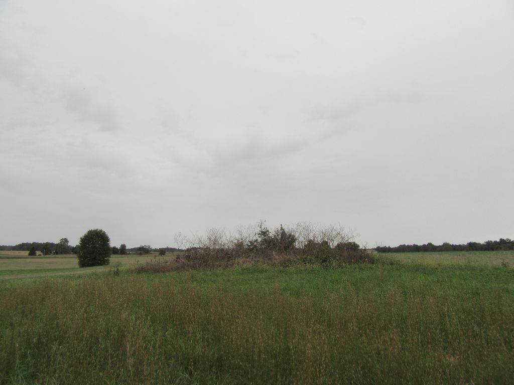
| Description | : | Former farmstead of Dorsey Sands near Laconia. This land is being actively farmed. Burying place is located within a grove of trees. Indiana Cemetery Locations, Volume 4, published by the Indiana Genealogical Society (April 2009), gives the primary cemetery name as Sands Cemetery. The cemetery is listed in the Cemetery and Burial Grounds Registry of the Indiana Department of Natural Resources (DNR) and in the State Historical Architectural and Archaeological Research Database (SHAARD) with Cemetery Record Number CR-31-58 (Sands Family Plot). |
frequently asked questions (FAQ):
-
Where is Sands Cemetery?
Sands Cemetery is located at Hooptown Road SE Laconia, Harrison County ,Indiana , 47135USA.
-
Sands Cemetery cemetery's updated grave count on graveviews.com?
0 memorials
-
Where are the coordinates of the Sands Cemetery?
Latitude: 38.0445150
Longitude: -86.0700650
Nearby Cemetories:
1. Brown-McIntyre Cemetery
Laconia, Harrison County, USA
Coordinate: 38.0546000, -86.0623000
2. Beswick Cemetery
Laconia, Harrison County, USA
Coordinate: 38.0293999, -86.0761032
3. Old Goshen Cemetery
Laconia, Harrison County, USA
Coordinate: 38.0681000, -86.0777969
4. Ridley Burial Ground
Harrison County, USA
Coordinate: 38.0218170, -86.0586210
5. Marsh Burying Grounds
Laconia, Harrison County, USA
Coordinate: 38.0245094, -86.0948563
6. Guest Family Plot
Laconia, Harrison County, USA
Coordinate: 38.0652000, -86.0998590
7. Ellis Family Plot
Harrison County, USA
Coordinate: 38.0693690, -86.0956870
8. Entrican Cemetery
Harrison County, USA
Coordinate: 38.0293884, -86.1059723
9. Dodds Cemetery
Laconia, Harrison County, USA
Coordinate: 38.0123050, -86.0764950
10. Kings Cemetery
Cedar Farm Landing, Harrison County, USA
Coordinate: 38.0121994, -86.0766983
11. John Brown Cemetery
Boone Township, Harrison County, USA
Coordinate: 38.0135500, -86.0537670
12. Able Family Cemetery
Boone Township, Harrison County, USA
Coordinate: 38.0563889, -86.0291824
13. Rehoboth Cemetery
Laconia, Harrison County, USA
Coordinate: 38.0608330, -86.0316696
14. Ferree Family Cemetery
Laconia, Harrison County, USA
Coordinate: 38.0307520, -86.0287670
15. Crosier Cemetery
Laconia, Harrison County, USA
Coordinate: 38.0061111, -86.0791626
16. Union Chapel Cemetery
Laconia, Harrison County, USA
Coordinate: 38.0730362, -86.1044769
17. Barger Cemetery
Buena Vista, Harrison County, USA
Coordinate: 38.0386314, -86.0197525
18. Memorial Baptist Cemetery
Laconia, Harrison County, USA
Coordinate: 38.0062780, -86.0485590
19. Chaffin Cemetery
Boone Township, Harrison County, USA
Coordinate: 38.0176330, -86.0268000
20. Brown Cemetery
New Boston, Harrison County, USA
Coordinate: 37.9999330, -86.0461670
21. Reed Cemetery
Central, Harrison County, USA
Coordinate: 38.0767784, -86.1169739
22. Dunkard Cemetery
Dogwood, Harrison County, USA
Coordinate: 38.0939040, -86.0598350
23. Payton Cemetery
Dogwood, Harrison County, USA
Coordinate: 38.0952900, -86.0597400
24. Saint Michaels Catholic Cemetery
Dogwood, Harrison County, USA
Coordinate: 38.0981712, -86.0738831

