
| Memorials | : | 0 |
| Location | : | Ripley County, USA |
| Coordinate | : | 36.5139008, -90.8724976 |
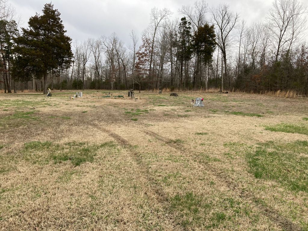
| Description | : | Years ago this cemetery was known as the Holiness Cemetery cause there was a Holiness Church located next to the cemetery. DIRECTIONS: From Doniphan take 21 S. to "A" hwy, turn left, turn right on A5 go 2 miles to stop sign turn left on A2 go 1.1 miles cemetery is located on right. ALSO: instead of going down to A5 you can turn right on A2 will also take you right to the cemetery. |
frequently asked questions (FAQ):
-
Where is Sanky Hall Cemetery?
Sanky Hall Cemetery is located at Ripley County ,Missouri ,USA.
-
Sanky Hall Cemetery cemetery's updated grave count on graveviews.com?
0 memorials
-
Where are the coordinates of the Sanky Hall Cemetery?
Latitude: 36.5139008
Longitude: -90.8724976

Nearby Cemetories:
1. Mizell Cemetery
Ripley County, USA
Coordinate: 36.5321999, -90.8694000
2. Glaze Creek Cemetery
Randolph County, USA
Coordinate: 36.4791985, -90.8852997
3. Poynor Cemetery
Poynor, Ripley County, USA
Coordinate: 36.5261220, -90.9159990
4. Pratt Cemetery
Ripley County, USA
Coordinate: 36.5286903, -90.8300934
5. Murrell Cemetery
Ripley County, USA
Coordinate: 36.5036011, -90.9235992
6. Allen Cemetery
Randolph County, USA
Coordinate: 36.4749985, -90.8439026
7. Ainley Cemetery
Randolph County, USA
Coordinate: 36.4693985, -90.8582993
8. Mount Pleasant Cemetery
Pitman, Randolph County, USA
Coordinate: 36.4785995, -90.8206024
9. Sugar Tree Grove Cemetery
Ripley County, USA
Coordinate: 36.5253640, -90.9451680
10. Patterson Cemetery
Ripley County, USA
Coordinate: 36.5242004, -90.9464035
11. Old Pitman Cemetery
Randolph County, USA
Coordinate: 36.4935989, -90.7994003
12. Siloam Cemetery
Middlebrook, Randolph County, USA
Coordinate: 36.4536018, -90.9024963
13. Plunk Cemetery
Ripley County, USA
Coordinate: 36.5649986, -90.9269028
14. Price Cemetery
Ripley County, USA
Coordinate: 36.5821991, -90.8882980
15. Pope Chapel Cemetery
Current View, Ripley County, USA
Coordinate: 36.5121994, -90.7818985
16. Ingram Cemetery
Maynard, Randolph County, USA
Coordinate: 36.4406013, -90.8647003
17. Towles Cemetery
Doniphan, Ripley County, USA
Coordinate: 36.5769005, -90.8238983
18. Old Dalton Family Cemetery
Ponder, Ripley County, USA
Coordinate: 36.5568780, -90.9547810
19. Dalton Cemetery
Ripley County, USA
Coordinate: 36.5003014, -90.9772034
20. Northside Cemetery
Maynard, Randolph County, USA
Coordinate: 36.4290080, -90.8986190
21. Brakebill Cemetery
Maynard, Randolph County, USA
Coordinate: 36.4590820, -90.9602290
22. Gean Farm Burial
Maynard, Randolph County, USA
Coordinate: 36.4234000, -90.8721000
23. Mount Olive Cemetery
Doniphan, Ripley County, USA
Coordinate: 36.6048100, -90.8843100
24. Maynard Cemetery
Maynard, Randolph County, USA
Coordinate: 36.4213982, -90.8899994