
| Memorials | : | 0 |
| Location | : | Bagdad, Yavapai County, USA |
| Coordinate | : | 34.3708600, -113.1798600 |
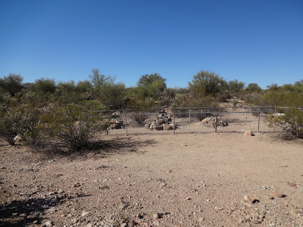
| Description | : | From the Phoenix/Glendale area, take the Phoenix-Wickenburg highway (Hiway 60) to Wickenburg. In Wickenburg, from the main intersection of Highways 60, 89 & 93, follow Hwy 93 northwest 38.86 miles to the Santa Maria River Road. Just before the river bridge on 93 turn right and continue approximately 2/10 mile; parking is available on the on the right side. Walk ESE approximately 300' from the road. The cemetery is enclosed with chain link fence and is situated high on the river bank, out of sight of the road. |
frequently asked questions (FAQ):
-
Where is Santa Maria Cemetery?
Santa Maria Cemetery is located at Bagdad, Yavapai County ,Arizona ,USA.
-
Santa Maria Cemetery cemetery's updated grave count on graveviews.com?
0 memorials
-
Where are the coordinates of the Santa Maria Cemetery?
Latitude: 34.3708600
Longitude: -113.1798600
Nearby Cemetories:
1. Palmenta Ranch Cemetery
Wenden, La Paz County, USA
Coordinate: 34.2973120, -113.4224420
2. Camp Date Creek Pioneer Military Cemetery
Prescott, Yavapai County, USA
Coordinate: 34.2668600, -112.9081100
3. Olea Ranch Cemetery
Wenden, La Paz County, USA
Coordinate: 34.3013060, -113.4981890
4. Alamo Crossing East Cemetery
Swansea, La Paz County, USA
Coordinate: 34.3001600, -113.4993700
5. Thompson Valley Cemetery
Yava, Yavapai County, USA
Coordinate: 34.4709350, -112.8712280
6. Congress Cemetery
Congress, Yavapai County, USA
Coordinate: 34.1897011, -112.8542023
7. Old Congress Cemetery
Congress, Yavapai County, USA
Coordinate: 34.1938600, -112.8502700
8. Alamo Crossing West Cemetery
Swansea, La Paz County, USA
Coordinate: 34.2559400, -113.5673500
9. Signal Area Cemetery
Mohave County, USA
Coordinate: 34.4636800, -113.6253700
10. Genung Memorial Park Cemetery
Peeples Valley, Yavapai County, USA
Coordinate: 34.2808600, -112.7218400
11. Kirkland Pioneer Cemetery
Kirkland, Yavapai County, USA
Coordinate: 34.4202750, -112.7108190
12. Stanton Cemetery
Stanton, Yavapai County, USA
Coordinate: 34.1743100, -112.7301400
13. Old Skull Valley Cemetery
Skull Valley, Yavapai County, USA
Coordinate: 34.5088200, -112.6879700
14. Skull Valley Cemetery
Skull Valley, Yavapai County, USA
Coordinate: 34.5307999, -112.6856003
15. Noli Cemetery
Wikieup, Mohave County, USA
Coordinate: 34.6734040, -113.5735350
16. Weaver Cemetery
Octave, Yavapai County, USA
Coordinate: 34.1539993, -112.7073975
17. Octave Cemetery
Octave, Yavapai County, USA
Coordinate: 34.1389809, -112.7133942
18. Sandy Cemetery
Mohave County, USA
Coordinate: 34.6860008, -113.5810013
19. Wickenburg Massacre Site
Wickenburg, Maricopa County, USA
Coordinate: 33.9893000, -112.8536300
20. Moralez Ranch Family Cemetery
Octave, Yavapai County, USA
Coordinate: 34.1370920, -112.6810907
21. Eagle Eye Cemetery
Aguila, Maricopa County, USA
Coordinate: 33.8958817, -113.1778641
22. Masten Family Cemetery
Wikieup, Mohave County, USA
Coordinate: 34.7050018, -113.6090012
23. Cullings Well Cemetery
Salome, La Paz County, USA
Coordinate: 33.9095150, -113.3992410
24. Lopez Ranch Cemetery
Yucca, Mohave County, USA
Coordinate: 34.2357560, -113.7815170