| Memorials | : | 4 |
| Location | : | Sedgewickville, Bollinger County, USA |
| Coordinate | : | 37.5368800, -89.8704100 |
frequently asked questions (FAQ):
-
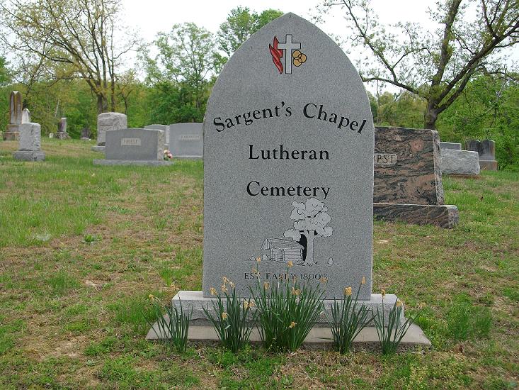
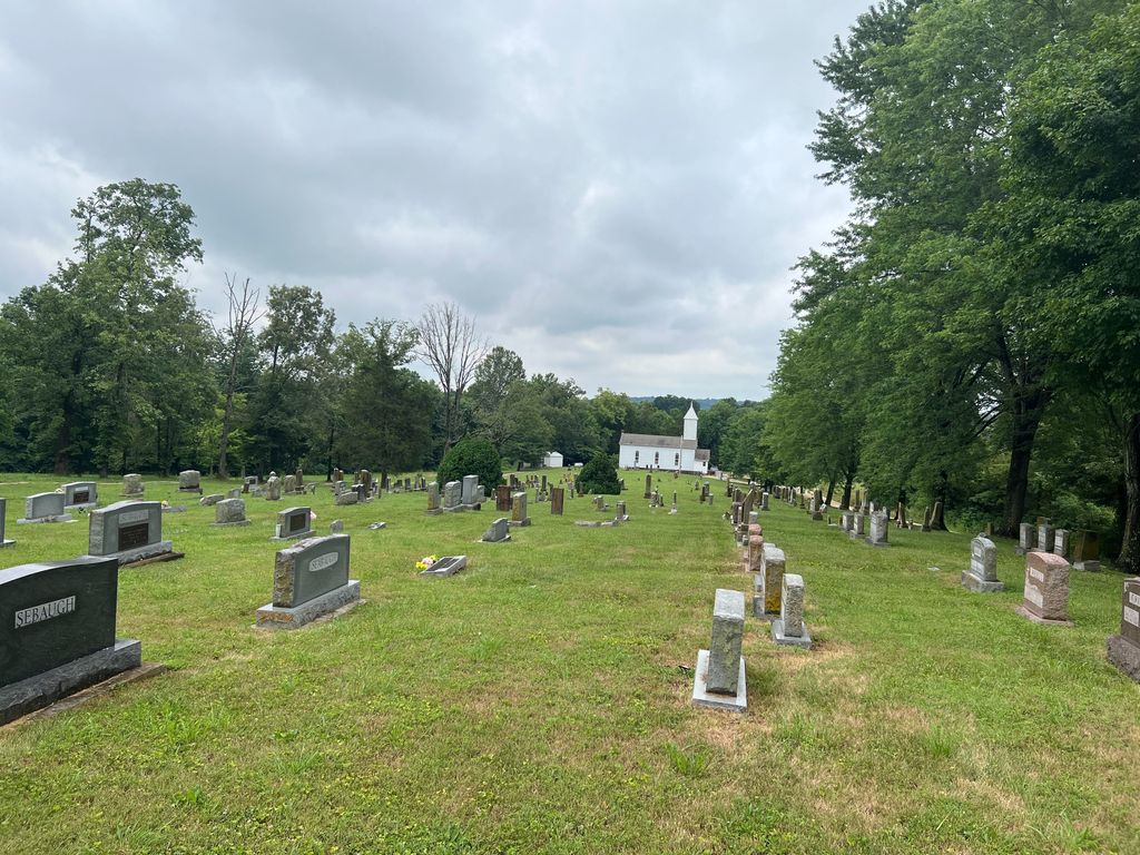
Where is Sargent's Chapel Lutheran Cemetery?
Sargent's Chapel Lutheran Cemetery is located at Sedgewickville, Bollinger County ,Missouri ,USA.
-
Sargent's Chapel Lutheran Cemetery cemetery's updated grave count on graveviews.com?
4 memorials
-
Where are the coordinates of the Sargent's Chapel Lutheran Cemetery?
Latitude: 37.5368800
Longitude: -89.8704100
Nearby Cemetories:
1. Statler Cemetery
Sedgewickville, Bollinger County, USA
Coordinate: 37.5377998, -89.9169006
2. Hilderbrand Cemetery
Cape Girardeau County, USA
Coordinate: 37.5756089, -89.8539929
3. Garden of Memories
Sedgewickville, Bollinger County, USA
Coordinate: 37.5070400, -89.9113700
4. Hiram Hartle Cemetery
Sedgewickville, Bollinger County, USA
Coordinate: 37.4975800, -89.9029500
5. Schmidt Cemetery
Cape Girardeau County, USA
Coordinate: 37.4914017, -89.8450012
6. Sedgewickville Lutheran Cemetery
Sedgewickville, Bollinger County, USA
Coordinate: 37.5766360, -89.9121160
7. Sedgewickville Lixville Lutheran Cemetery
Lixville, Bollinger County, USA
Coordinate: 37.5765170, -89.9124500
8. Trinity Lutheran Church Cemetery
Friedheim, Cape Girardeau County, USA
Coordinate: 37.5705986, -89.8191986
9. Old Bollinger Cemetery
Bollinger County, USA
Coordinate: 37.5271988, -89.9393997
10. Edinger Cemetery
Scopus, Bollinger County, USA
Coordinate: 37.4814360, -89.8807630
11. Caney Fork Cemetery
Oak Ridge, Cape Girardeau County, USA
Coordinate: 37.4951800, -89.8214100
12. Hopewell Cemetery
Sedgewickville, Bollinger County, USA
Coordinate: 37.5486800, -89.9408800
13. New Salem Cemetery
Daisy, Cape Girardeau County, USA
Coordinate: 37.5173700, -89.7987800
14. Riehn Cemetery
Cape Girardeau County, USA
Coordinate: 37.4805984, -89.8414001
15. Seabaugh Cemetery
Sedgewickville, Bollinger County, USA
Coordinate: 37.4822006, -89.9100037
16. Looney Family Cemetery
Sedgewickville, Bollinger County, USA
Coordinate: 37.4719810, -89.8708267
17. Whitewater Cemetery
Lixville, Bollinger County, USA
Coordinate: 37.5836400, -89.9291100
18. Kurre Cemetery
Cape Girardeau County, USA
Coordinate: 37.4819100, -89.8209500
19. Old Caney Fork Cemetery
Oak Ridge, Cape Girardeau County, USA
Coordinate: 37.4914017, -89.8063965
20. Estes Cemetery
Cape Girardeau County, USA
Coordinate: 37.4693985, -89.8544006
21. Wise Cemetery
Cape Girardeau County, USA
Coordinate: 37.4752998, -89.8308029
22. Saint Maurus Catholic Cemetery
Biehle, Perry County, USA
Coordinate: 37.6031400, -89.8433910
23. Kurreville Cemetery
Millersville, Cape Girardeau County, USA
Coordinate: 37.4767700, -89.8182600
24. Campground Cemetery
Frohna, Perry County, USA
Coordinate: 37.6055984, -89.9056015


