
| Memorials | : | 86 |
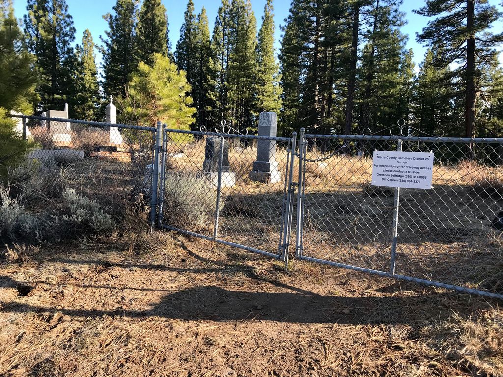
| Location | : | Sattley, Sierra County, USA |
| Coordinate | : | 39.6214000, -120.4225500 |
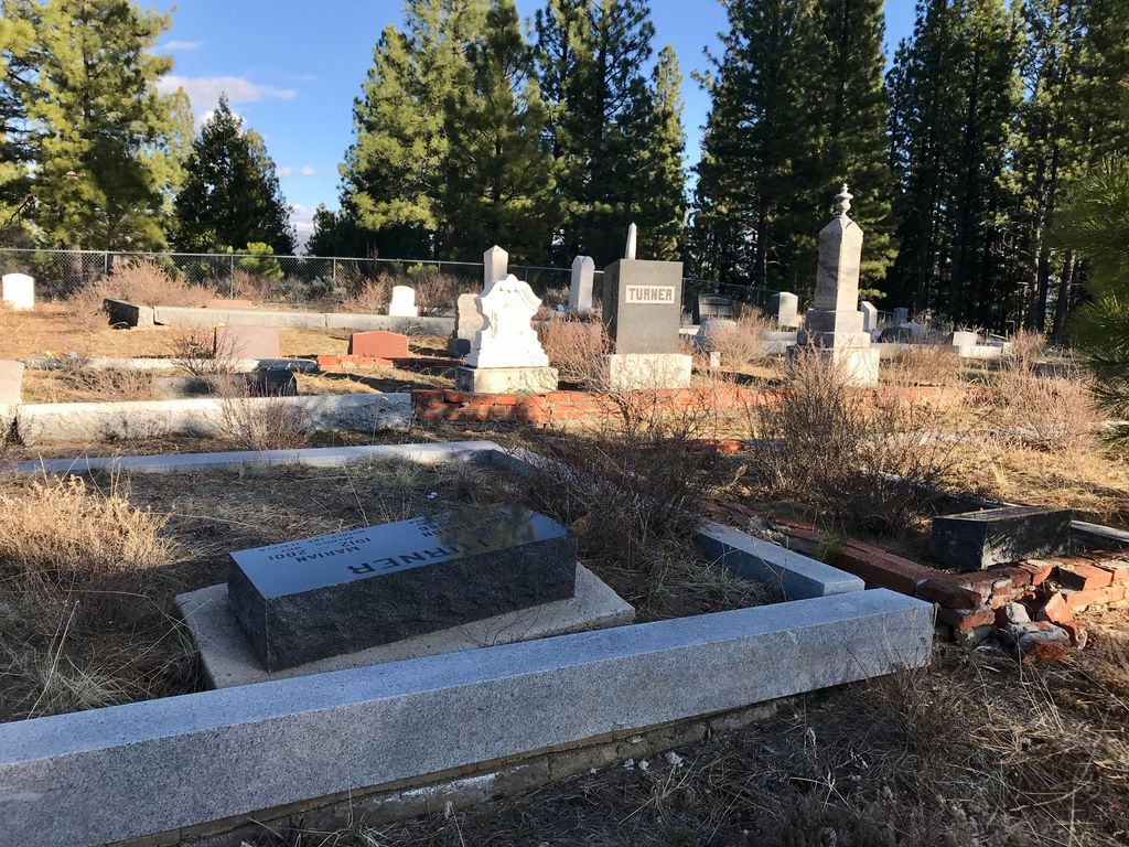
| Description | : | This cemetery is very well hidden. You feel like you are turning into someone's driveway, and driving through their property, but you're not, just keep to the right and continue on the road. There is a fork in the going keep going straight. When you're almost there the road curves just keep on going, the road ends at the cemetery. Be sure to look at the satellite map ! * I have fond memories of the Sattley Cemetery, it's one of two cemeteries my husband Dave, my son Mark, and myself went to that day. It was the one of the... Read More |
frequently asked questions (FAQ):
-
Where is Sattley Cemetery?
Sattley Cemetery is located at Sattley, Sierra County ,California ,USA.
-
Sattley Cemetery cemetery's updated grave count on graveviews.com?
86 memorials
-
Where are the coordinates of the Sattley Cemetery?
Latitude: 39.6214000
Longitude: -120.4225500
Nearby Cemetories:
1. Sierraville Cemetery
Sierraville, Sierra County, USA
Coordinate: 39.5842018, -120.3786011
2. Summers Family Cemetery
Calpine, Sierra County, USA
Coordinate: 39.6861940, -120.4355350
3. Westside-Sharkey Cemetery
Beckworth, Plumas County, USA
Coordinate: 39.7378006, -120.3867035
4. Mountain View Cemetery
Loyalton, Sierra County, USA
Coordinate: 39.6718490, -120.2496190
5. Sierra City Cemetery
Sierra City, Sierra County, USA
Coordinate: 39.5663900, -120.6408300
6. Shady Grove Cemetery
Portola, Plumas County, USA
Coordinate: 39.8072014, -120.4593964
7. Whispering Pines Cemetery
Beckworth, Plumas County, USA
Coordinate: 39.8252983, -120.4180984
8. Meadow Lake Cemetery
Summit City, Nevada County, USA
Coordinate: 39.4123400, -120.5079700
9. Mohawk Cemetery
Mohawk, Plumas County, USA
Coordinate: 39.7791060, -120.6384200
10. Johnsville Cemetery
Johnsville, Plumas County, USA
Coordinate: 39.7627983, -120.6913986
11. Vinton Cemetery
Vinton, Plumas County, USA
Coordinate: 39.8011017, -120.1592026
12. Chilcoot Cemetery
Chilcoot, Plumas County, USA
Coordinate: 39.7966800, -120.1254400
13. Fall Creek Cemetery
Camp Spaulding, Nevada County, USA
Coordinate: 39.3806200, -120.6619410
14. Graniteville Cemetery
Graniteville, Nevada County, USA
Coordinate: 39.4395860, -120.7462590
15. Cromberg Cemetery
Cromberg, Plumas County, USA
Coordinate: 39.8535995, -120.6947021
16. Downieville Cemetery
Downieville, Sierra County, USA
Coordinate: 39.5676700, -120.8252390
17. Donner Memorial State Park
Truckee, Nevada County, USA
Coordinate: 39.3246040, -120.2330160
18. Donner Party Camp at Alder Creek Valley
Truckee, Nevada County, USA
Coordinate: 39.3216670, -120.2327500
19. Crystal Peak Cemetery
Verdi, Washoe County, USA
Coordinate: 39.5250310, -119.9984690
20. Sierra Mountains Cemetery
Truckee, Nevada County, USA
Coordinate: 39.3342018, -120.1772003
21. Catholic Cemetery
Truckee, Nevada County, USA
Coordinate: 39.3319931, -120.1805801
22. Boca Cemetery
Boca, Nevada County, USA
Coordinate: 39.3870510, -120.0922310
23. Brickelltown Cemetery
Truckee, Nevada County, USA
Coordinate: 39.3248030, -120.1854090
24. Schaffer Family Cemetery
Truckee, Nevada County, USA
Coordinate: 39.3240900, -120.1780200