
| Memorials | : | 0 |
| Location | : | Bigelow, Holt County, USA |
| Coordinate | : | 40.1002100, -95.3339900 |
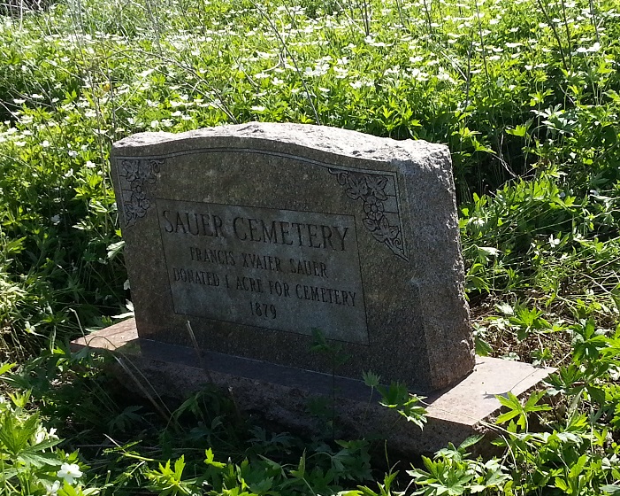
| Description | : | The Sauer cemetery, used principally by Catholic families of the Bigelow Parish, is at the southwest of a crossroads, 2 1/2 miles west and 3/5 miles south of Bigelow. An enclosed plot and several stones remain, of the one acre set aside for the cemetery. DESCRIPTION; Northeast corner of the south half of the Northeast quarter of Section 18-Township 61N-Range 39W. (1981) |
frequently asked questions (FAQ):
-
Where is Sauer Cemetery?
Sauer Cemetery is located at Bigelow, Holt County ,Missouri ,USA.
-
Sauer Cemetery cemetery's updated grave count on graveviews.com?
0 memorials
-
Where are the coordinates of the Sauer Cemetery?
Latitude: 40.1002100
Longitude: -95.3339900
Nearby Cemetories:
1. Catron Cemetery
Fortescue, Holt County, USA
Coordinate: 40.0736300, -95.3629800
2. Tarkio Chapel Cemetery
Fortescue, Holt County, USA
Coordinate: 40.0659400, -95.3152200
3. Caton Family Cemetery
Mound City, Holt County, USA
Coordinate: 40.1611980, -95.2748700
4. Boyd Cemetery
Holt County, USA
Coordinate: 40.0466995, -95.2453003
5. Old Mound City Cemetery
Mound City, Holt County, USA
Coordinate: 40.1499560, -95.2372380
6. Rulo City Cemetery
Rulo, Richardson County, USA
Coordinate: 40.0561218, -95.4420471
7. Baldwin Cemetery
Mound City, Holt County, USA
Coordinate: 40.1007996, -95.2114029
8. Mount Hope Cemetery
Mound City, Holt County, USA
Coordinate: 40.1450005, -95.2221985
9. Immaculate Conception Cemetery
Rulo, Richardson County, USA
Coordinate: 40.0480200, -95.4431800
10. IOOF Cemetery
Craig, Holt County, USA
Coordinate: 40.1985817, -95.3532562
11. Heater Cemetery
Rulo, Richardson County, USA
Coordinate: 40.0868300, -95.4638200
12. Partlow Cemetery
Hiawatha, Brown County, USA
Coordinate: 39.9994011, -95.3602982
13. Roy and Franklin Cemetery
Richardson County, USA
Coordinate: 40.0036011, -95.3878021
14. Franklin Cemetery
Rulo, Richardson County, USA
Coordinate: 40.0035000, -95.3884700
15. New Liberty Cemetery
Craig, Holt County, USA
Coordinate: 40.2048187, -95.2866135
16. Benton Church Cemetery
Forest City, Holt County, USA
Coordinate: 40.0621430, -95.1918980
17. Arago Cemetery
Richardson County, USA
Coordinate: 40.1519012, -95.4728012
18. Zion Cemetery
Falls City, Richardson County, USA
Coordinate: 40.1001300, -95.4900500
19. Campbell Cemetery
Reserve, Brown County, USA
Coordinate: 39.9905980, -95.3961750
20. Roderick Cemetery
Forest City, Holt County, USA
Coordinate: 40.0271988, -95.2071991
21. Kelley Cemetery
White Cloud, Doniphan County, USA
Coordinate: 39.9797100, -95.3042800
22. Tesson Cemetery
Brown County, USA
Coordinate: 39.9763985, -95.3407974
23. Anderson Cemetery
Barada, Richardson County, USA
Coordinate: 40.1612200, -95.4771200
24. Olive Branch Cemetery
White Cloud, Doniphan County, USA
Coordinate: 39.9729400, -95.3129400